32 Estes Rd New Gloucester, ME 04260
Estimated Value: $369,000 - $414,000
3
Beds
2
Baths
864
Sq Ft
$452/Sq Ft
Est. Value
About This Home
This home is located at 32 Estes Rd, New Gloucester, ME 04260 and is currently estimated at $390,914, approximately $452 per square foot. 32 Estes Rd is a home located in Cumberland County with nearby schools including Gray-New Gloucester High School.
Ownership History
Date
Name
Owned For
Owner Type
Purchase Details
Closed on
Jan 7, 2011
Sold by
Spearin Elizabeth A
Bought by
Spearin Elizabeth A and Bickford Amy E
Current Estimated Value
Home Financials for this Owner
Home Financials are based on the most recent Mortgage that was taken out on this home.
Original Mortgage
$165,800
Outstanding Balance
$110,115
Interest Rate
4.4%
Mortgage Type
Unknown
Estimated Equity
$280,799
Create a Home Valuation Report for This Property
The Home Valuation Report is an in-depth analysis detailing your home's value as well as a comparison with similar homes in the area
Home Values in the Area
Average Home Value in this Area
Purchase History
| Date | Buyer | Sale Price | Title Company |
|---|---|---|---|
| Spearin Elizabeth A | -- | -- |
Source: Public Records
Mortgage History
| Date | Status | Borrower | Loan Amount |
|---|---|---|---|
| Open | Spearin Elizabeth A | $165,800 |
Source: Public Records
Tax History Compared to Growth
Tax History
| Year | Tax Paid | Tax Assessment Tax Assessment Total Assessment is a certain percentage of the fair market value that is determined by local assessors to be the total taxable value of land and additions on the property. | Land | Improvement |
|---|---|---|---|---|
| 2025 | $3,229 | $208,734 | $90,930 | $117,804 |
| 2024 | $3,108 | $208,734 | $90,930 | $117,804 |
| 2023 | $2,983 | $208,734 | $90,930 | $117,804 |
| 2022 | $2,881 | $208,734 | $90,930 | $117,804 |
| 2021 | $2,881 | $208,734 | $90,930 | $117,804 |
| 2020 | $2,849 | $208,734 | $90,930 | $117,804 |
| 2019 | $2,690 | $159,200 | $66,000 | $93,200 |
| 2018 | $2,515 | $159,200 | $66,000 | $93,200 |
| 2017 | $2,484 | $159,200 | $66,000 | $93,200 |
| 2016 | $2,340 | $159,200 | $66,000 | $93,200 |
| 2015 | $2,332 | $159,200 | $66,000 | $93,200 |
| 2014 | $2,308 | $159,200 | $66,000 | $93,200 |
| 2013 | $2,141 | $159,200 | $66,000 | $93,200 |
Source: Public Records
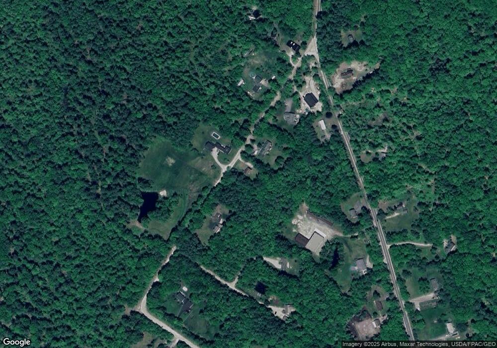
Map
Nearby Homes
- 164 Intervale Rd
- 10 Cobbs Bridge Rd
- 12 Country Charm Ln
- 160 Gloucester Hill Rd
- 155 & 151 Gloucester Hill Rd
- 0018-C Gloucester Hill Rd
- 22 Shaw Rd
- 271 Bennett Rd
- 24 Swamp Rd
- 200 Woodman Rd
- 10-56 C&E Bowdoin Way
- 29 Rockwood Dr
- TBD Targett Rd
- 14 Golden Way
- 161 Beaver Dam Dr
- 423 Sabbathday Rd
- 65 Blueberry Ln
- 10 Spring Valley Ln
- 832 Old Danville Rd
- 343 Shaker Rd