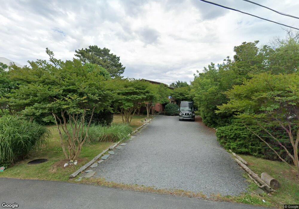
32 Harbor Rd Rehoboth Beach, DE 19971
Estimated Value: $1,974,868 - $3,026,000
4
Beds
--
Bath
1,704
Sq Ft
$1,483/Sq Ft
Est. Value
About This Home
This home is located at 32 Harbor Rd, Rehoboth Beach, DE 19971 and is currently estimated at $2,526,967, approximately $1,482 per square foot. 32 Harbor Rd is a home with nearby schools including Rehoboth Elementary School, Mariner Middle School, and Cape Henlopen High School.
Ownership History
Date
Name
Owned For
Owner Type
Purchase Details
Closed on
Mar 15, 2023
Sold by
Peck Ann D
Bought by
Peck Ann D and Peck Edward L
Current Estimated Value
Purchase Details
Closed on
Feb 3, 2017
Sold by
Peck Ann D and Peck Edward L
Bought by
Peck Ann D
Purchase Details
Closed on
Jun 24, 2015
Sold by
Peck Ann and Slevin Peter D
Bought by
Peck Ann D and Peck Edward L
Home Financials for this Owner
Home Financials are based on the most recent Mortgage that was taken out on this home.
Original Mortgage
$417,000
Interest Rate
3.88%
Mortgage Type
New Conventional
Purchase Details
Closed on
Feb 6, 2013
Sold by
Slevin Peck Ann D and Peck Ann
Bought by
Slevin Peter D and Peck Ann
Home Financials for this Owner
Home Financials are based on the most recent Mortgage that was taken out on this home.
Original Mortgage
$1,828,650
Interest Rate
3.44%
Create a Home Valuation Report for This Property
The Home Valuation Report is an in-depth analysis detailing your home's value as well as a comparison with similar homes in the area
Home Values in the Area
Average Home Value in this Area
Purchase History
| Date | Buyer | Sale Price | Title Company |
|---|---|---|---|
| Peck Ann D | -- | -- | |
| Peck Ann D | -- | None Available | |
| Peck Ann D | -- | None Available | |
| Slevin Peter D | -- | -- |
Source: Public Records
Mortgage History
| Date | Status | Borrower | Loan Amount |
|---|---|---|---|
| Previous Owner | Peck Ann D | $417,000 | |
| Previous Owner | Slevin Peter D | $1,828,650 |
Source: Public Records
Tax History
| Year | Tax Paid | Tax Assessment Tax Assessment Total Assessment is a certain percentage of the fair market value that is determined by local assessors to be the total taxable value of land and additions on the property. | Land | Improvement |
|---|---|---|---|---|
| 2025 | $4,330 | $30,650 | $12,850 | $17,800 |
| 2024 | $1,511 | $30,650 | $12,850 | $17,800 |
| 2023 | $1,509 | $30,650 | $12,850 | $17,800 |
| 2022 | $1,457 | $30,650 | $12,850 | $17,800 |
| 2021 | $1,443 | $30,650 | $12,850 | $17,800 |
| 2020 | $1,439 | $30,650 | $12,850 | $17,800 |
| 2019 | $1,441 | $30,650 | $12,850 | $17,800 |
| 2018 | $1,346 | $30,650 | $0 | $0 |
| 2017 | $1,289 | $30,650 | $0 | $0 |
| 2016 | $1,224 | $30,650 | $0 | $0 |
| 2015 | $1,170 | $30,650 | $0 | $0 |
| 2014 | $1,161 | $30,650 | $0 | $0 |
Source: Public Records
Map
Nearby Homes
- 21 Ocean Dr Unit 904
- 21 Cedar Rd
- 52 Henlopen Ave
- 40 Park Ave
- 69 Henlopen Ave
- 527 North Boardwalk Unit 202
- 527 North Boardwalk Unit 205
- 10 Virginia Ave
- 20 Glade Cir E
- 41243 Gloucester Dr
- 8 Olive Ave Unit 205
- 29 Maryland Ave Unit 101
- 49 Maryland Ave Unit A
- 37419 Liverpool Ln
- 11 Cookman St
- 45 Baltimore Ave
- 37520 Worcester Dr
- 202 Lakeview Shores
- 70 Sussex St
- 19688 Chelmer Dr Unit 5
- 30 Harbor Rd
- 34 Harbor Rd
- 7 Ocean Dr
- 1 Snug Harbor Rd Unit 1
- 3 Snug Harbor Rd Unit 3
- 5 Ocean Dr Unit A-5
- 5 Snug Harbor Rd Unit 5
- 9 Ocean Dr Unit 9
- 11 Snug Harbor Rd
- 6 Cedar Rd
- 31 Harbor Rd
- 28 Harbor Rd
- 2105C Ocean Dr Unit 2105C
- 8 Cedar Rd
- 25 S Rodney St
- 27 Rodney Ave
- 19 Rodney Ave
- 19 Rodney Ave
- 33 Harbor Rd
- 17 S Rodney
Your Personal Tour Guide
Ask me questions while you tour the home.