32 Harmony Ln Hooksett, NH 03106
Estimated Value: $591,882 - $639,000
3
Beds
3
Baths
1,770
Sq Ft
$351/Sq Ft
Est. Value
About This Home
This home is located at 32 Harmony Ln, Hooksett, NH 03106 and is currently estimated at $620,971, approximately $350 per square foot. 32 Harmony Ln is a home located in Merrimack County with nearby schools including Fred C. Underhill School, Hooksett Memorial School, and David R. Cawley Middle School.
Ownership History
Date
Name
Owned For
Owner Type
Purchase Details
Closed on
Aug 15, 1996
Sold by
Hein Stephen A and Hein Janet K
Bought by
Malone Patrick J
Current Estimated Value
Home Financials for this Owner
Home Financials are based on the most recent Mortgage that was taken out on this home.
Original Mortgage
$102,000
Outstanding Balance
$7,970
Interest Rate
8.08%
Mortgage Type
Purchase Money Mortgage
Estimated Equity
$613,001
Create a Home Valuation Report for This Property
The Home Valuation Report is an in-depth analysis detailing your home's value as well as a comparison with similar homes in the area
Home Values in the Area
Average Home Value in this Area
Purchase History
| Date | Buyer | Sale Price | Title Company |
|---|---|---|---|
| Malone Patrick J | $127,800 | -- |
Source: Public Records
Mortgage History
| Date | Status | Borrower | Loan Amount |
|---|---|---|---|
| Open | Malone Patrick J | $102,000 |
Source: Public Records
Tax History Compared to Growth
Tax History
| Year | Tax Paid | Tax Assessment Tax Assessment Total Assessment is a certain percentage of the fair market value that is determined by local assessors to be the total taxable value of land and additions on the property. | Land | Improvement |
|---|---|---|---|---|
| 2024 | $8,960 | $528,300 | $161,000 | $367,300 |
| 2023 | $8,442 | $528,300 | $161,000 | $367,300 |
| 2022 | $7,006 | $291,300 | $94,900 | $196,400 |
| 2021 | $6,473 | $291,300 | $94,900 | $196,400 |
| 2020 | $6,557 | $291,300 | $94,900 | $196,400 |
| 2019 | $6,278 | $291,300 | $94,900 | $196,400 |
| 2018 | $6,444 | $291,300 | $94,900 | $196,400 |
| 2017 | $5,976 | $223,500 | $77,900 | $145,600 |
| 2016 | $5,898 | $223,500 | $77,900 | $145,600 |
| 2015 | $3,951 | $223,500 | $77,900 | $145,600 |
| 2014 | $3,764 | $223,500 | $77,900 | $145,600 |
| 2013 | -- | $223,500 | $77,900 | $145,600 |
Source: Public Records
Map
Nearby Homes
- 286B Londonderry Turnpike Unit A
- 286 Londonderry Turnpike Unit A
- 10 Dewberry Ln
- 27 Martins Ferry Rd
- 34 Lindsay Rd
- 5 Thistle Ln
- 192 Londonderry Turnpike
- 45 Leonard Ave
- 111 Laurel Lot 35 Rd
- 199 Whitehall Rd
- 197 Whitehall Rd
- 13 Johns Dr
- 69 Heather Cir
- 115 Chase Way
- 1465 Hooksett Rd Unit 287
- 1465 Hooksett Rd Unit 284
- 1465 Hooksett Rd Unit 1003
- 6 Deerhead St
- 104 N Gate Rd
- 535 Coral Ave
- 30 Harmony Ln
- 45 Whitehall Rd
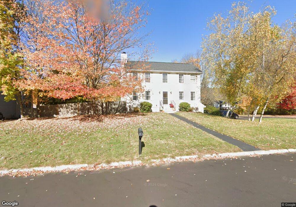
- 21 Harmony Ln
- 4 Harmony Ln
- 6 Harmony Ln
- 51 Whitehall Rd
- 7 Harmony Ln
- 28 Harmony Ln
- 43 Whitehall Rd
- 9 Harmony Ln
- 8 Harmony Ln
- 17 Harmony Ln
- 50 Whitehall Rd Unit B
- 50 Whitehall Rd
- 50 Whitehall Rd Unit A
- 46 Whitehall Rd
- 44 Whitehall Rd
- 26 Harmony Ln
- 41 Whitehall Rd
- 11 Harmony Ln