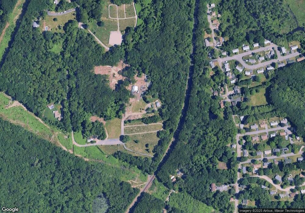
32 Lamper Hill Rd Auburn, MA 01501
West Auburn NeighborhoodEstimated Value: $383,000 - $453,000
3
Beds
2
Baths
1,495
Sq Ft
$285/Sq Ft
Est. Value
About This Home
This home is located at 32 Lamper Hill Rd, Auburn, MA 01501 and is currently estimated at $425,454, approximately $284 per square foot. 32 Lamper Hill Rd is a home with nearby schools including Auburn Senior High School, Canterbury Street School, and St Peter Central Catholic Elementary School.
Ownership History
Date
Name
Owned For
Owner Type
Purchase Details
Closed on
Dec 29, 2023
Sold by
Mdc Rt and Carlson
Bought by
Maple Tree Holdings Llc
Current Estimated Value
Home Financials for this Owner
Home Financials are based on the most recent Mortgage that was taken out on this home.
Original Mortgage
$525,000
Outstanding Balance
$515,736
Interest Rate
7.44%
Mortgage Type
Purchase Money Mortgage
Estimated Equity
-$90,282
Purchase Details
Closed on
Dec 19, 2014
Sold by
Carlson David
Bought by
Mdc Rt and Carlson
Home Financials for this Owner
Home Financials are based on the most recent Mortgage that was taken out on this home.
Original Mortgage
$113,408
Interest Rate
4.02%
Mortgage Type
New Conventional
Purchase Details
Closed on
Oct 17, 2014
Sold by
Us Bank Na Tr
Bought by
Carlson David
Purchase Details
Closed on
Sep 16, 2014
Sold by
Ballou Jared P and Us Bank Na
Bought by
Us Bank Na Tr
Purchase Details
Closed on
Nov 21, 2008
Sold by
Smith Craig D
Bought by
Ballou Jared P
Home Financials for this Owner
Home Financials are based on the most recent Mortgage that was taken out on this home.
Original Mortgage
$217,609
Interest Rate
6.03%
Mortgage Type
Purchase Money Mortgage
Create a Home Valuation Report for This Property
The Home Valuation Report is an in-depth analysis detailing your home's value as well as a comparison with similar homes in the area
Home Values in the Area
Average Home Value in this Area
Purchase History
| Date | Buyer | Sale Price | Title Company |
|---|---|---|---|
| Maple Tree Holdings Llc | $700,000 | None Available | |
| Mdc Rt | -- | -- | |
| Mdc Rt | -- | -- | |
| Carlson David | $67,111 | -- | |
| Us Bank Na Tr | $94,100 | -- | |
| Us Bank Na Tr | $94,100 | -- | |
| Ballou Jared P | $190,000 | -- | |
| Ballou Jared P | $190,000 | -- |
Source: Public Records
Mortgage History
| Date | Status | Borrower | Loan Amount |
|---|---|---|---|
| Open | Maple Tree Holdings Llc | $525,000 | |
| Previous Owner | Mdc Rt | $113,408 | |
| Previous Owner | Ballou Jared P | $217,609 | |
| Previous Owner | Ballou Jared P | $75,000 |
Source: Public Records
Tax History Compared to Growth
Tax History
| Year | Tax Paid | Tax Assessment Tax Assessment Total Assessment is a certain percentage of the fair market value that is determined by local assessors to be the total taxable value of land and additions on the property. | Land | Improvement |
|---|---|---|---|---|
| 2025 | $51 | $358,000 | $106,800 | $251,200 |
| 2024 | $4,843 | $324,400 | $103,800 | $220,600 |
| 2023 | $4,820 | $303,500 | $94,500 | $209,000 |
| 2022 | $4,358 | $259,100 | $89,300 | $169,800 |
| 2021 | $2,664 | $224,000 | $78,800 | $145,200 |
| 2020 | $7,200 | $219,300 | $78,800 | $140,500 |
| 2019 | $3,719 | $201,900 | $73,300 | $128,600 |
| 2018 | $2,944 | $189,000 | $68,600 | $120,400 |
| 2017 | $3,477 | $189,600 | $62,500 | $127,100 |
| 2016 | $2,920 | $161,400 | $64,300 | $97,100 |
| 2015 | $2,691 | $155,900 | $64,300 | $91,600 |
| 2014 | $2,727 | $157,700 | $61,200 | $96,500 |
Source: Public Records
Map
Nearby Homes
- 27 Havana Rd
- 315 Stafford St
- 2 Keen St
- 53 James St
- 176 Boyce St
- 177 Boyce St
- 40 Ludlow St
- 24 Ludlow St
- 177 Oxford St N
- 35 Genessee St Unit I
- 5 Commonwealth Ave
- 25 Vinal St Unit 26
- 25 Vinal St Unit 29
- 25 Vinal St Unit 30
- 4 S Edlin St
- 1-9 Helens Way
- 170 Stafford St
- 19-20 Williams St
- 21 Healy Rd
- 8 Shirley St
- 32 Lamper Hill Rd
- 32 Burnett St
- 28 Burnett St
- 34 Burnett St
- 30 Burnett St
- 20 Courville Rd
- 22 Courville Rd
- 37 Burnett St
- 23 Burnett St
- 21 Burnett St
- 33 Burnett St
- 22 Burnett St
- 1 Westwood Dr
- 0 Cemetery Unit 72399950
- 0 Cemetery Unit 71026980
- 0 Cemetery Unit 71585511
- 0 Cemetery Unit 71970214
- 0 Cemetery Unit 72036201
- 0 Cemetery Unit 72043866
- 0 Cemetery Unit 72067307
