32 Laurel Ln Charlemont, MA 01339
Estimated Value: $497,051 - $824,000
6
Beds
3
Baths
2,196
Sq Ft
$273/Sq Ft
Est. Value
About This Home
This home is located at 32 Laurel Ln, Charlemont, MA 01339 and is currently estimated at $598,763, approximately $272 per square foot. 32 Laurel Ln is a home located in Franklin County with nearby schools including Mohawk Trail Regional High School.
Ownership History
Date
Name
Owned For
Owner Type
Purchase Details
Closed on
Aug 29, 2019
Sold by
Defilippi Richard P and Arrington Lucy
Bought by
Richard P Defilippi Ret and Defilippi
Current Estimated Value
Purchase Details
Closed on
Oct 8, 1991
Sold by
Croteau Wilfred and Croteau Matthe
Bought by
Defilippi Richard P and Flack Lucy A
Create a Home Valuation Report for This Property
The Home Valuation Report is an in-depth analysis detailing your home's value as well as a comparison with similar homes in the area
Home Values in the Area
Average Home Value in this Area
Purchase History
| Date | Buyer | Sale Price | Title Company |
|---|---|---|---|
| Richard P Defilippi Ret | -- | -- | |
| Richard P Defilippi Ret | -- | -- | |
| Defilippi Richard P | $174,000 | -- | |
| Defilippi Richard P | $174,000 | -- |
Source: Public Records
Tax History Compared to Growth
Tax History
| Year | Tax Paid | Tax Assessment Tax Assessment Total Assessment is a certain percentage of the fair market value that is determined by local assessors to be the total taxable value of land and additions on the property. | Land | Improvement |
|---|---|---|---|---|
| 2025 | $5,743 | $313,828 | $58,128 | $255,700 |
| 2024 | $5,891 | $284,600 | $54,100 | $230,500 |
| 2023 | $5,565 | $269,736 | $50,236 | $219,500 |
| 2022 | $5,530 | $266,772 | $50,572 | $216,200 |
| 2021 | $5,320 | $259,782 | $46,182 | $213,600 |
| 2020 | $3,328 | $211,500 | $46,900 | $164,600 |
| 2019 | $4,155 | $210,600 | $46,000 | $164,600 |
| 2018 | $4,198 | $205,600 | $41,000 | $164,600 |
| 2017 | $4,143 | $205,100 | $40,500 | $164,600 |
| 2016 | $3,787 | $193,200 | $40,400 | $152,800 |
| 2015 | $3,453 | $193,100 | $40,300 | $152,800 |
Source: Public Records
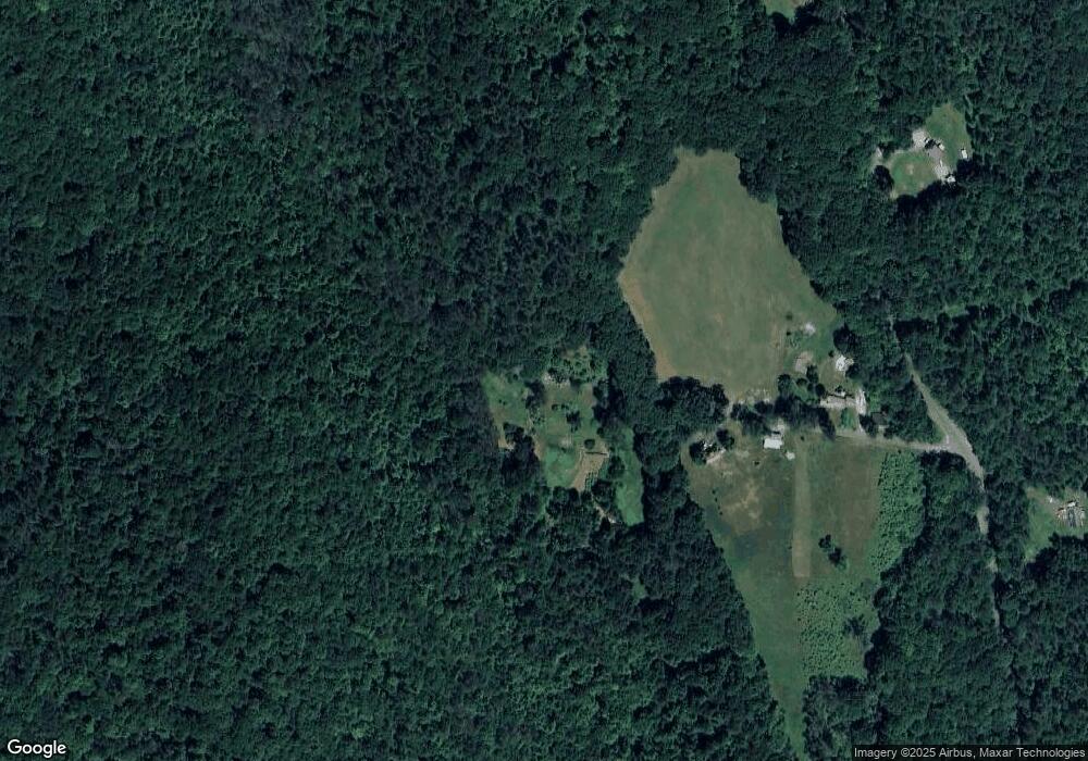
Map
Nearby Homes
- 0 Potters Rd Unit 73439831
- 559 Tea St
- 766 Tea St
- 0 W Hawley Rd
- 2153 Massachusetts 2
- 0 Maxwell Rd Unit 246884
- 63 W Hawley Rd
- 0 Warfield Rd
- 0 E Hawley Rd Unit 73456358
- 174 Main St
- 127 County Rd
- Lot 121 Davis Mine Rd
- 49 East Rd
- 201 Ford Hill Rd
- 0, Lot 7 East Rd
- Lot 3.2 East Rd
- 0 River Rd Unit 5030963
- 0 River Rd Unit 73340901
- 0 River Rd Unit 245648
- 14 South Rd
- 23 Laurel Ln
- 16 Laurel Ln
- 376 Legate Hill Rd
- 399 Legate Hill Rd
- 419 Legate Hill Rd
- 336 Legate Hill Rd
- 400 Legate Hill Rd
- 410 Legate Hill Rd
- 418 Legate Hill Rd
- 283 Legate Hill Rd
- 290 Legate Hill Rd
- 437 Legate Hill Rd
- 432 Legate Hill Rd
- 280 Legate Hill Rd
- 279 Legate Hill Rd
- 447 Legate Hill Rd
- 39 Phipps Rd
- 470 Legate Hill Rd
- 463 Legate Hill Rd
- Lots 31-32 Mountain View Dr