Estimated Value: $267,000 - $307,000
4
Beds
3
Baths
1,817
Sq Ft
$159/Sq Ft
Est. Value
About This Home
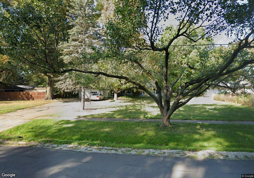
This home is located at 32 Manning Dr, Berea, OH 44017 and is currently estimated at $288,592, approximately $158 per square foot. 32 Manning Dr is a home located in Cuyahoga County with nearby schools including Grindstone Elementary School, Berea-Midpark Middle School, and Berea-Midpark High School.
Ownership History
Date
Name
Owned For
Owner Type
Purchase Details
Closed on
Sep 4, 1997
Sold by
Ginter Darla J
Bought by
Ellis Kenneth T and Hansen Ellen C
Current Estimated Value
Home Financials for this Owner
Home Financials are based on the most recent Mortgage that was taken out on this home.
Original Mortgage
$124,000
Outstanding Balance
$19,335
Interest Rate
7.54%
Mortgage Type
New Conventional
Estimated Equity
$269,257
Purchase Details
Closed on
Aug 12, 1991
Sold by
Root Linda S
Bought by
Ginter Darla J
Purchase Details
Closed on
Jan 24, 1984
Sold by
Blatnik James A and Blatnik Sally E
Bought by
Root Linda S
Purchase Details
Closed on
Oct 28, 1975
Sold by
Thompson H E and M E
Bought by
Blatnik James A and Blatnik Sally E
Purchase Details
Closed on
Jan 1, 1975
Bought by
Thompson H E and M E
Create a Home Valuation Report for This Property
The Home Valuation Report is an in-depth analysis detailing your home's value as well as a comparison with similar homes in the area
Home Values in the Area
Average Home Value in this Area
Purchase History
| Date | Buyer | Sale Price | Title Company |
|---|---|---|---|
| Ellis Kenneth T | $146,000 | -- | |
| Ginter Darla J | $125,000 | -- | |
| Root Linda S | $76,900 | -- | |
| Blatnik James A | $37,300 | -- | |
| Thompson H E | -- | -- |
Source: Public Records
Mortgage History
| Date | Status | Borrower | Loan Amount |
|---|---|---|---|
| Open | Ellis Kenneth T | $124,000 |
Source: Public Records
Tax History
| Year | Tax Paid | Tax Assessment Tax Assessment Total Assessment is a certain percentage of the fair market value that is determined by local assessors to be the total taxable value of land and additions on the property. | Land | Improvement |
|---|---|---|---|---|
| 2024 | $4,725 | $91,315 | $22,680 | $68,635 |
| 2023 | $4,044 | $67,520 | $18,410 | $49,110 |
| 2022 | $4,634 | $67,520 | $18,410 | $49,110 |
| 2021 | $4,594 | $67,520 | $18,410 | $49,110 |
| 2020 | $4,390 | $57,230 | $15,610 | $41,620 |
| 2019 | $4,273 | $163,500 | $44,600 | $118,900 |
| 2018 | $4,250 | $57,230 | $15,610 | $41,620 |
| 2017 | $4,192 | $52,400 | $20,760 | $31,640 |
| 2016 | $4,161 | $52,400 | $20,760 | $31,640 |
| 2015 | $4,140 | $52,400 | $20,760 | $31,640 |
| 2014 | $4,140 | $55,160 | $21,840 | $33,320 |
Source: Public Records
Map
Nearby Homes
- 62 Milton St
- 9003 Prospect Rd
- 275 Quarrystone Ln
- 49 Monroe St
- 115 S Rocky River Dr Unit 201
- 8902 Lincolnshire Blvd
- 458 Sprague Rd
- 50 S Rocky River Dr Unit 206
- 47 Prospect St
- 21032 Breckenridge Ln
- 647 Tampico Ct Unit 7
- 344 Girard Dr
- 246 Kempton Dr
- 388 Fairwood Cir
- 10020 Fair Rd
- 23004 Chandlers Ln Unit 4-344
- 216 Kraft St
- 209 Gibson St
- 23002 Chandlers Ln Unit 223
- 23002 Chandlers Ln Unit 221
Your Personal Tour Guide
Ask me questions while you tour the home.