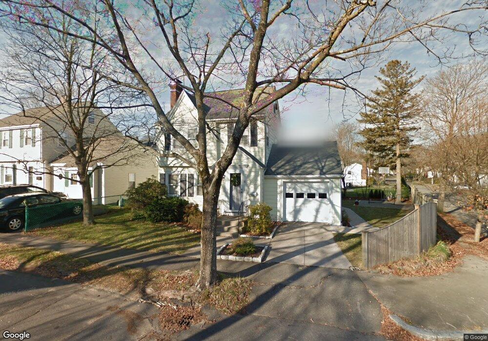
32 Melbourne Rd Milton, MA 02186
Estimated Value: $868,000 - $964,000
4
Beds
2
Baths
1,719
Sq Ft
$539/Sq Ft
Est. Value
About This Home
This home is located at 32 Melbourne Rd, Milton, MA 02186 and is currently estimated at $925,921, approximately $538 per square foot. 32 Melbourne Rd is a home located in Norfolk County with nearby schools including Milton High School, St. Agatha School, and Quincy Catholic Academy.
Ownership History
Date
Name
Owned For
Owner Type
Purchase Details
Closed on
Sep 21, 2022
Sold by
Kroninger Mark D and Kroninger Erin M
Bought by
Kroninger Ft
Current Estimated Value
Purchase Details
Closed on
Jun 18, 1998
Sold by
Jones Gordon and Jones Nancy Rd
Bought by
Kroninger Mark D and Kroninger Erin M
Purchase Details
Closed on
Jul 16, 1992
Sold by
Grueter Paul C
Bought by
Jones Gordon and Jones Nancy R D
Create a Home Valuation Report for This Property
The Home Valuation Report is an in-depth analysis detailing your home's value as well as a comparison with similar homes in the area
Purchase History
| Date | Buyer | Sale Price | Title Company |
|---|---|---|---|
| Kroninger Ft | -- | None Available | |
| Kroninger Mark D | $229,000 | -- | |
| Jones Gordon | $170,000 | -- |
Source: Public Records
Mortgage History
| Date | Status | Borrower | Loan Amount |
|---|---|---|---|
| Previous Owner | Jones Gordon | $198,000 | |
| Previous Owner | Jones Gordon | $229,000 | |
| Previous Owner | Jones Gordon | $22,800 |
Source: Public Records
Tax History
| Year | Tax Paid | Tax Assessment Tax Assessment Total Assessment is a certain percentage of the fair market value that is determined by local assessors to be the total taxable value of land and additions on the property. | Land | Improvement |
|---|---|---|---|---|
| 2025 | $9,257 | $834,700 | $448,200 | $386,500 |
| 2024 | $8,969 | $821,300 | $426,900 | $394,400 |
| 2023 | $8,431 | $739,600 | $379,600 | $360,000 |
| 2022 | $8,225 | $659,600 | $379,600 | $280,000 |
| 2021 | $7,730 | $588,700 | $322,000 | $266,700 |
| 2020 | $7,558 | $576,100 | $314,200 | $261,900 |
| 2019 | $7,372 | $559,300 | $305,100 | $254,200 |
| 2018 | $7,051 | $510,600 | $261,000 | $249,600 |
| 2017 | $6,600 | $486,700 | $248,500 | $238,200 |
| 2016 | $6,504 | $481,800 | $248,500 | $233,300 |
| 2015 | $6,535 | $468,800 | $240,700 | $228,100 |
Source: Public Records
Map
Nearby Homes
- 0 Franklin St
- 30 Elmwood Park
- 281 Elmwood Ave
- 52 California Ave
- 17 Albany St
- 440 Granite Ave Unit 201
- 154 N Central Ave
- 400 Adams St Unit A
- 397 Adams St
- 41 Wallace Rd
- 1185 Brook Rd
- 21 Robertson St
- 98 Safford St
- 54 Safford St
- 115 W Squantum St Unit 517
- 115 W Squantum St Unit 203
- 115 W Squantum St Unit 811
- 100 W Squantum St Unit 411
- 267-269 Farrington St
- 17 Holmes St Unit 204
Your Personal Tour Guide
Ask me questions while you tour the home.