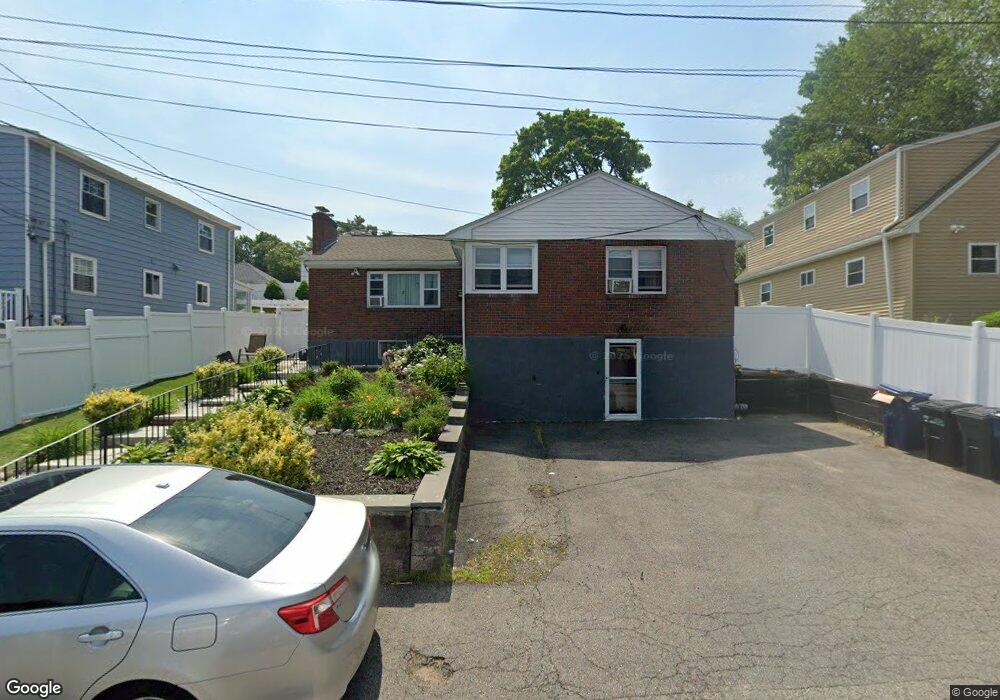
32 Meshaka St West Roxbury, MA 02132
Upper Washington-Spring Street NeighborhoodEstimated Value: $711,000 - $852,000
5
Beds
2
Baths
2,200
Sq Ft
$345/Sq Ft
Est. Value
About This Home
This home is located at 32 Meshaka St, West Roxbury, MA 02132 and is currently estimated at $759,329, approximately $345 per square foot. 32 Meshaka St is a home located in Suffolk County with nearby schools including Catholic Memorial School.
Ownership History
Date
Name
Owned For
Owner Type
Purchase Details
Closed on
Nov 17, 2004
Sold by
Tocci Thomas M
Bought by
Lamour Victor and Lamour Margaette
Current Estimated Value
Home Financials for this Owner
Home Financials are based on the most recent Mortgage that was taken out on this home.
Original Mortgage
$315,900
Outstanding Balance
$157,855
Interest Rate
5.8%
Mortgage Type
Purchase Money Mortgage
Estimated Equity
$601,475
Purchase Details
Closed on
Aug 22, 2001
Sold by
Hadayia Nursray
Bought by
Tocci Thomas M
Home Financials for this Owner
Home Financials are based on the most recent Mortgage that was taken out on this home.
Original Mortgage
$200,000
Interest Rate
7.21%
Mortgage Type
Purchase Money Mortgage
Create a Home Valuation Report for This Property
The Home Valuation Report is an in-depth analysis detailing your home's value as well as a comparison with similar homes in the area
Home Values in the Area
Average Home Value in this Area
Purchase History
| Date | Buyer | Sale Price | Title Company |
|---|---|---|---|
| Lamour Victor | $395,000 | -- | |
| Tocci Thomas M | $250,000 | -- |
Source: Public Records
Mortgage History
| Date | Status | Borrower | Loan Amount |
|---|---|---|---|
| Open | Tocci Thomas M | $315,900 | |
| Previous Owner | Tocci Thomas M | $50,000 | |
| Previous Owner | Tocci Thomas M | $200,000 | |
| Previous Owner | Tocci Thomas M | $25,000 |
Source: Public Records
Tax History Compared to Growth
Tax History
| Year | Tax Paid | Tax Assessment Tax Assessment Total Assessment is a certain percentage of the fair market value that is determined by local assessors to be the total taxable value of land and additions on the property. | Land | Improvement |
|---|---|---|---|---|
| 2025 | $6,324 | $546,100 | $202,000 | $344,100 |
| 2024 | $5,992 | $549,700 | $234,800 | $314,900 |
| 2023 | $5,904 | $549,700 | $234,800 | $314,900 |
| 2022 | $5,437 | $499,700 | $213,400 | $286,300 |
| 2021 | $4,944 | $463,400 | $203,300 | $260,100 |
| 2020 | $4,638 | $439,200 | $166,100 | $273,100 |
| 2019 | $4,369 | $414,500 | $135,500 | $279,000 |
| 2018 | $4,021 | $383,700 | $135,500 | $248,200 |
| 2017 | $4,022 | $379,800 | $135,500 | $244,300 |
| 2016 | $3,941 | $358,300 | $135,500 | $222,800 |
| 2015 | $3,843 | $317,300 | $143,500 | $173,800 |
| 2014 | $3,730 | $296,500 | $143,500 | $153,000 |
Source: Public Records
Map
Nearby Homes
- 25R Rockland St Unit 6
- 57 Rockland St
- 111 Schiller Rd
- 94 Rockland St
- 1 Columbia Terrace
- 235 Curve St
- 109 Rockland St
- 5245 Washington St Unit 5
- 130 Oak St
- 107 Stimson St
- 83 Mount Hope St
- 7 Starling St
- 16 Mount Hope St
- 231-245 Grove St
- 216 Grove St
- 104 Salman St
- 8 Fort Ln
- 111 Grove St Unit 11
- 55 Cottage Rd
- 42 Churchill Place