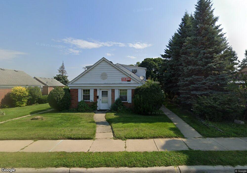
32 N Liberty St Unit 10 Belleville, MI 48111
Estimated Value: $118,864 - $210,000
2
Beds
1
Bath
797
Sq Ft
$195/Sq Ft
Est. Value
About This Home
This home is located at 32 N Liberty St Unit 10, Belleville, MI 48111 and is currently estimated at $155,716, approximately $195 per square foot. 32 N Liberty St Unit 10 is a home located in Wayne County with nearby schools including Edgemont Elementary School, Owen Intermediate School, and McBride Middle School.
Ownership History
Date
Name
Owned For
Owner Type
Purchase Details
Closed on
Jun 28, 2021
Sold by
Rental Estates Llc
Bought by
762 Properties Llc
Current Estimated Value
Purchase Details
Closed on
Mar 15, 2016
Sold by
Lakeview Of Belleville Condominium Assoc
Bought by
Rental Estates Llc
Purchase Details
Closed on
Jan 12, 2015
Sold by
Quine Cynthia S
Bought by
Lakeview Of Belleville Condominium Assoc
Purchase Details
Closed on
Nov 30, 2009
Sold by
Us Storage Depot Llc
Bought by
Quine Cynthia S
Create a Home Valuation Report for This Property
The Home Valuation Report is an in-depth analysis detailing your home's value as well as a comparison with similar homes in the area
Home Values in the Area
Average Home Value in this Area
Purchase History
| Date | Buyer | Sale Price | Title Company |
|---|---|---|---|
| 762 Properties Llc | $690,000 | American Ttl Co Of Washtenaw | |
| Rental Estates Llc | -- | Fidelity National Title | |
| Lakeview Of Belleville Condominium Assoc | -- | None Available | |
| Quine Cynthia S | $80,000 | Liberty Title |
Source: Public Records
Tax History Compared to Growth
Tax History
| Year | Tax Paid | Tax Assessment Tax Assessment Total Assessment is a certain percentage of the fair market value that is determined by local assessors to be the total taxable value of land and additions on the property. | Land | Improvement |
|---|---|---|---|---|
| 2025 | $1,433 | $43,600 | $0 | $0 |
| 2024 | $1,433 | $36,700 | $0 | $0 |
| 2023 | $1,369 | $26,500 | $0 | $0 |
| 2022 | $1,645 | $24,700 | $0 | $0 |
| 2021 | $1,390 | $23,500 | $0 | $0 |
| 2020 | $1,375 | $22,600 | $0 | $0 |
| 2019 | $1,353 | $22,400 | $0 | $0 |
| 2018 | $1,054 | $20,000 | $0 | $0 |
| 2017 | $465 | $19,800 | $0 | $0 |
| 2016 | $879 | $20,000 | $0 | $0 |
| 2015 | $2,337 | $23,500 | $0 | $0 |
| 2013 | $2,284 | $24,000 | $0 | $0 |
| 2012 | $838 | $22,100 | $5,700 | $16,400 |
Source: Public Records
Map
Nearby Homes
- 132 N Liberty St
- 14152 Laurelwood Dr
- 14211 Laurelwood Dr
- 14188 Laurelwood Dr
- 250 N Liberty St Unit 303
- 241 Main St Unit 2
- 127 Madelon St
- 279 Church St
- 421 E Huron River Dr
- 379 E Columbia Ave
- Huron River Dr E Huron River Dr
- 99 Potter Dr
- 421 Light Tower Ct
- 13921 Arlene Ln Unit 9
- 47049 Denton Rd
- 45109 Interstate 94 S Service Dr
- 1046 E Huron River Dr
- 502 Estrada Dr Unit 502
- 806 Estrada Dr Unit 806
- 41620 E Huron River Dr
- 32 N Liberty St Unit 10 10
- 32 N Liberty St Unit 11
- 32-46 N Liberty St
- 32 N Liberty St Unit 9
- 117 E Huron River Dr
- 46 N Liberty St Unit 12
- 46 N Liberty St
- 131 E Huron River Dr
- 143 E Huron River Dr
- 151 E Huron River Dr
- 31 N Liberty St
- 175 E Huron River Dr
- 25 E Huron River Dr
- 25 E Huron River Dr
- 17 S Liberty St Unit Bldg-Unit
- 17 S Liberty St
- 59 S Liberty St
- 25 1st St
- 59 N Liberty St
- VAC E Huron River Dr