32 Otis Rd Lincolnville, ME 04849
Estimated Value: $297,242 - $493,000
--
Bed
--
Bath
952
Sq Ft
$413/Sq Ft
Est. Value
About This Home
This home is located at 32 Otis Rd, Lincolnville, ME 04849 and is currently estimated at $393,061, approximately $412 per square foot. 32 Otis Rd is a home with nearby schools including Lincolnville Central School and Camden Hills Regional High School.
Create a Home Valuation Report for This Property
The Home Valuation Report is an in-depth analysis detailing your home's value as well as a comparison with similar homes in the area
Home Values in the Area
Average Home Value in this Area
Tax History Compared to Growth
Tax History
| Year | Tax Paid | Tax Assessment Tax Assessment Total Assessment is a certain percentage of the fair market value that is determined by local assessors to be the total taxable value of land and additions on the property. | Land | Improvement |
|---|---|---|---|---|
| 2024 | $3,417 | $184,700 | $68,800 | $115,900 |
| 2023 | $3,121 | $184,700 | $68,800 | $115,900 |
| 2022 | $2,900 | $184,700 | $68,800 | $115,900 |
| 2021 | $2,789 | $184,700 | $68,800 | $115,900 |
| 2020 | $2,844 | $184,700 | $68,800 | $115,900 |
| 2019 | $2,844 | $184,700 | $68,800 | $115,900 |
| 2018 | $2,827 | $167,300 | $68,800 | $98,500 |
| 2017 | $2,744 | $167,300 | $68,800 | $98,500 |
| 2016 | $1,282 | $167,300 | $68,800 | $98,500 |
| 2015 | $2,643 | $167,300 | $68,800 | $98,500 |
| 2014 | $2,593 | $167,300 | $68,800 | $98,500 |
| 2013 | $2,512 | $184,700 | $68,800 | $115,900 |
Source: Public Records
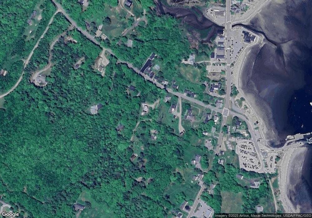
Map
Nearby Homes
- 14-6 Atlantic Hwy
- 2030 Atlantic Hwy
- 040-L Waters Edge Dr
- 2284 Atlantic Hwy
- 2782 Atlantic Hwy
- 33 Sea View Dr
- 2813 Atlantic Hwy
- 56 S Cobbtown Rd
- 11 Iron Bluff Rd
- Lot 50-2 Serene Dr
- 10 Black Brook Dr
- 00 Serene Dr
- 16 Highfields Ln
- 0 Belfast Rd
- 286 Atlantic Hwy
- 555 Belfast Rd
- 440 Belfast Rd Unit Naan.D1
- 440 Belfast Rd Unit Naan.C2
- 440 Belfast Rd Unit Naan.C1
- 440 Belfast Rd Unit Inio E1