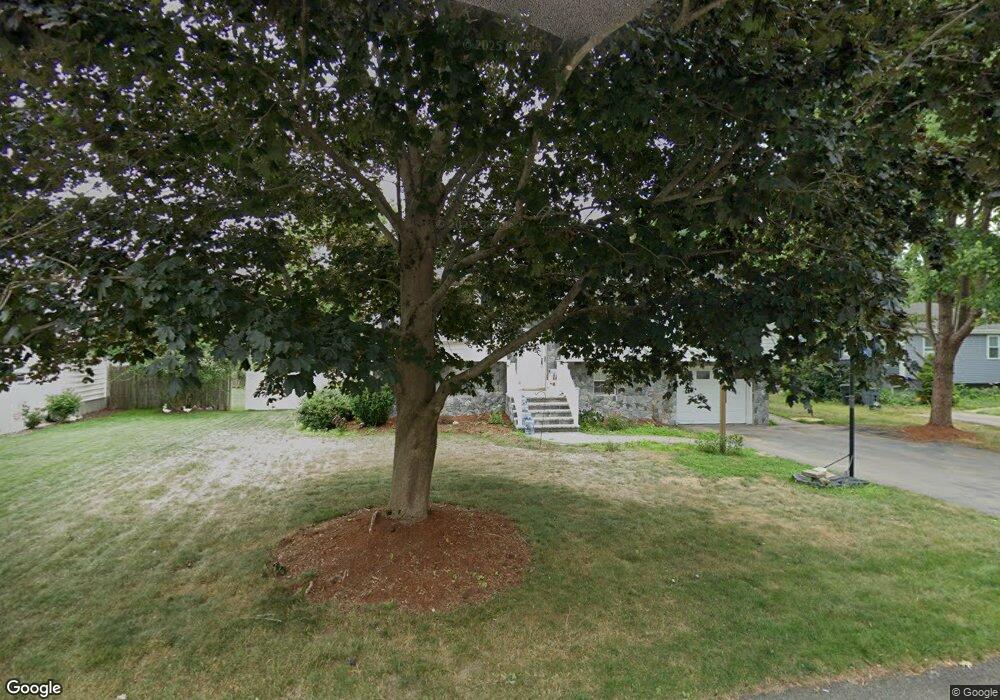
32 Paula Rd Milford, MA 01757
Estimated Value: $585,000 - $647,000
3
Beds
2
Baths
1,500
Sq Ft
$411/Sq Ft
Est. Value
About This Home
This home is located at 32 Paula Rd, Milford, MA 01757 and is currently estimated at $615,957, approximately $410 per square foot. 32 Paula Rd is a home located in Worcester County with nearby schools including Milford High School.
Ownership History
Date
Name
Owned For
Owner Type
Purchase Details
Closed on
May 27, 2011
Sold by
Ryan Francis J and Ryan Geraldine J
Bought by
Quintela Antonio R and Quintela Lindsey M
Current Estimated Value
Home Financials for this Owner
Home Financials are based on the most recent Mortgage that was taken out on this home.
Original Mortgage
$222,000
Outstanding Balance
$155,250
Interest Rate
4.94%
Mortgage Type
Purchase Money Mortgage
Estimated Equity
$460,707
Create a Home Valuation Report for This Property
The Home Valuation Report is an in-depth analysis detailing your home's value as well as a comparison with similar homes in the area
Home Values in the Area
Average Home Value in this Area
Purchase History
| Date | Buyer | Sale Price | Title Company |
|---|---|---|---|
| Quintela Antonio R | $277,500 | -- |
Source: Public Records
Mortgage History
| Date | Status | Borrower | Loan Amount |
|---|---|---|---|
| Open | Quintela Antonio R | $222,000 |
Source: Public Records
Tax History Compared to Growth
Tax History
| Year | Tax Paid | Tax Assessment Tax Assessment Total Assessment is a certain percentage of the fair market value that is determined by local assessors to be the total taxable value of land and additions on the property. | Land | Improvement |
|---|---|---|---|---|
| 2025 | $6,543 | $511,200 | $179,400 | $331,800 |
| 2024 | $6,363 | $478,800 | $172,200 | $306,600 |
| 2023 | $6,027 | $417,100 | $148,900 | $268,200 |
| 2022 | $5,784 | $375,800 | $136,300 | $239,500 |
| 2021 | $5,729 | $358,500 | $136,300 | $222,200 |
| 2020 | $5,564 | $348,600 | $136,300 | $212,300 |
| 2019 | $5,200 | $314,400 | $136,300 | $178,100 |
| 2018 | $4,998 | $301,800 | $132,700 | $169,100 |
| 2017 | $4,871 | $290,100 | $132,700 | $157,400 |
| 2016 | $4,676 | $272,200 | $132,700 | $139,500 |
| 2015 | $4,523 | $257,700 | $125,500 | $132,200 |
Source: Public Records
Map
Nearby Homes
- 8 Colonial Rd
- 1 Godfrey Ln Unit 1
- 20 Senate Rd
- 94 Highland St
- 9 Packard Rd
- 14 C Country Club Ln
- 8 Vassar Dr
- 33 Country Club Ln Unit D
- 9 Hancock St
- 5 Stanford Cir
- 5 Walker Ave
- 104 Purchase St
- 12 Congress Terrace
- 14 Country Club Ln Unit C
- 13 Hemlock Ln
- 95 High St
- 92 High St
- 8 Country Club Ln Unit B
- 39 Emmons St
- 250 Congress St