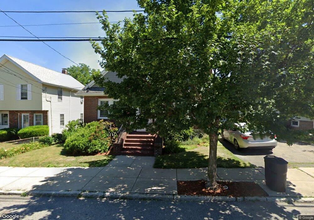
32 Wellsmere Rd Unit 1 Roslindale, MA 02131
Roslindale NeighborhoodEstimated Value: $638,000 - $707,000
3
Beds
1
Bath
1,480
Sq Ft
$448/Sq Ft
Est. Value
About This Home
This home is located at 32 Wellsmere Rd Unit 1, Roslindale, MA 02131 and is currently estimated at $663,020, approximately $447 per square foot. 32 Wellsmere Rd Unit 1 is a home located in Suffolk County with nearby schools including Brooke Charter School Roslindale, Sacred Heart STEM School, and St. Clare High School.
Ownership History
Date
Name
Owned For
Owner Type
Purchase Details
Closed on
Jan 26, 2007
Sold by
Lockwood Gay
Bought by
Joseph David L and Simmons Patricia D
Current Estimated Value
Home Financials for this Owner
Home Financials are based on the most recent Mortgage that was taken out on this home.
Original Mortgage
$250,000
Outstanding Balance
$149,656
Interest Rate
6.15%
Mortgage Type
Purchase Money Mortgage
Estimated Equity
$513,364
Purchase Details
Closed on
Oct 23, 2001
Sold by
Keegan Brian J and Keegan Danielle C
Bought by
Lockwood Gay
Home Financials for this Owner
Home Financials are based on the most recent Mortgage that was taken out on this home.
Original Mortgage
$175,000
Interest Rate
6.92%
Mortgage Type
Purchase Money Mortgage
Create a Home Valuation Report for This Property
The Home Valuation Report is an in-depth analysis detailing your home's value as well as a comparison with similar homes in the area
Home Values in the Area
Average Home Value in this Area
Purchase History
| Date | Buyer | Sale Price | Title Company |
|---|---|---|---|
| Joseph David L | $320,000 | -- | |
| Lockwood Gay | $255,000 | -- |
Source: Public Records
Mortgage History
| Date | Status | Borrower | Loan Amount |
|---|---|---|---|
| Open | Joseph David L | $250,000 | |
| Previous Owner | Lockwood Gay | $175,000 |
Source: Public Records
Tax History Compared to Growth
Tax History
| Year | Tax Paid | Tax Assessment Tax Assessment Total Assessment is a certain percentage of the fair market value that is determined by local assessors to be the total taxable value of land and additions on the property. | Land | Improvement |
|---|---|---|---|---|
| 2025 | $6,689 | $577,600 | $0 | $577,600 |
| 2024 | $6,043 | $554,400 | $0 | $554,400 |
| 2023 | $5,837 | $543,500 | $0 | $543,500 |
| 2022 | $5,528 | $508,100 | $0 | $508,100 |
| 2021 | $5,315 | $498,100 | $0 | $498,100 |
| 2020 | $4,002 | $379,000 | $0 | $379,000 |
| 2019 | $3,979 | $377,500 | $0 | $377,500 |
| 2018 | $3,604 | $343,900 | $0 | $343,900 |
| 2017 | $3,467 | $327,400 | $0 | $327,400 |
| 2016 | $3,303 | $300,300 | $0 | $300,300 |
| 2015 | $3,563 | $294,200 | $0 | $294,200 |
| 2014 | $3,380 | $268,700 | $0 | $268,700 |
Source: Public Records
Map
Nearby Homes
- 34 Averton St
- 276 Cornell St
- 105 Orange St
- 142 Birch St
- 142 Birch St Unit 2
- 142 Birch St Unit 1
- 52 Metropolitan Ave Unit 3
- 6 Hayes Rd Unit 16
- 69 Metropolitan Ave
- 29 Rosecliff St
- 80 Roslindale Ave Unit 3
- 146 Kittredge St Unit 2
- 296 Kittredge St Unit 298
- 40 Newburg St Unit 1
- 82 Birch St Unit 1
- 3 Whitford St
- 15 Newburg St Unit 1
- 65 Birch St Unit 3
- 42 Hemman St
- 59 Aldrich St Unit 2
- 32 Wellsmere Rd Unit 2
- 30 Wellsmere Rd
- 38 Wellsmere Rd
- 26 Wellsmere Rd Unit 1
- 26 Wellsmere Rd
- 40 Wellsmere Rd
- 39 Wellsmere Rd
- 24 Wellsmere Rd
- 29 Wellsmere Rd
- 22 Averton St
- 16 Averton St Unit 18
- 26 Averton St
- 27 Wellsmere Rd
- 27 Wellsmere Rd Unit 2
- 27 Wellsmere Rd Unit 1
- 43 Wellsmere Rd Unit 45
- 44 Wellsmere Rd
- 12 Averton St
- 20 Wellsmere Rd
- 20 Wellsmere Rd Unit 2