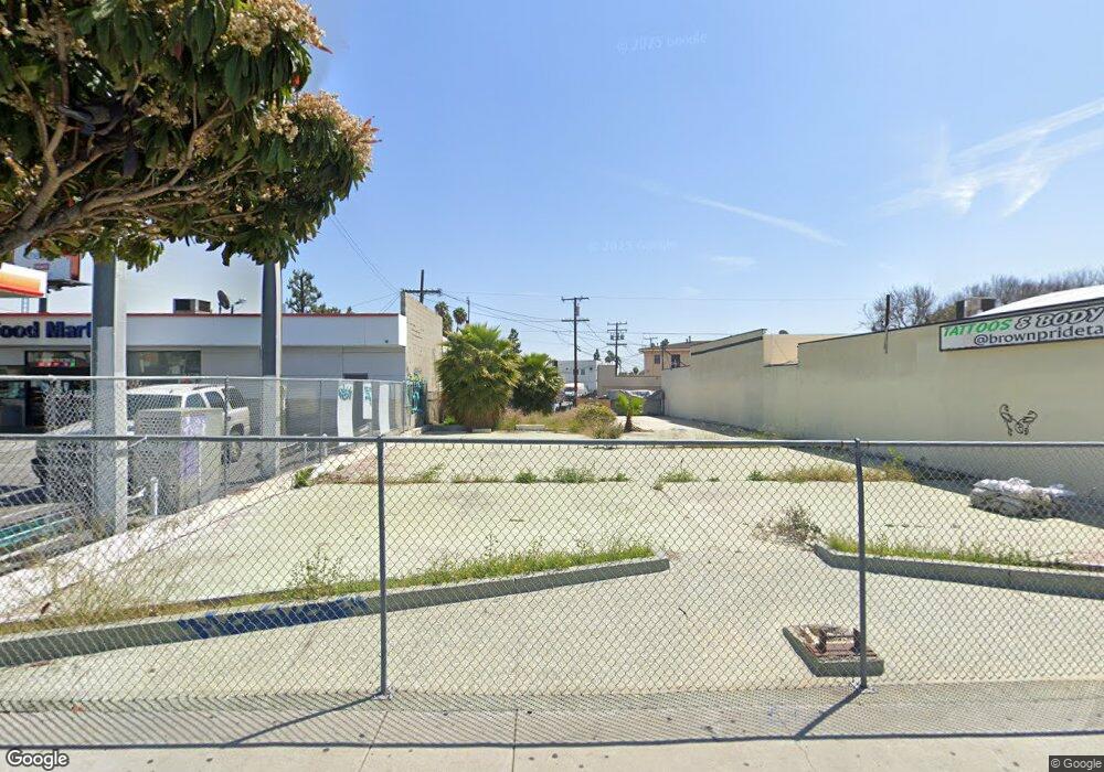
320 S Atlantic Blvd Los Angeles, CA 90022
Estimated Value: $1,078,837
--
Bed
--
Bath
3,500
Sq Ft
$308/Sq Ft
Est. Value
About This Home
This home is located at 320 S Atlantic Blvd, Los Angeles, CA 90022 and is currently estimated at $1,078,837, approximately $308 per square foot. 320 S Atlantic Blvd is a home located in Los Angeles County with nearby schools including Fourth Street Elementary School, Fourth Street Primary Center, and David Wark Griffith Middle School.
Ownership History
Date
Name
Owned For
Owner Type
Purchase Details
Closed on
Nov 8, 2017
Sold by
Vardanian Vladimir and Vardanian Family Trust
Bought by
Atlantic Land Investment Llc
Current Estimated Value
Purchase Details
Closed on
Jun 13, 2017
Sold by
Darnell Alma and Estate Of Anthony H Gonzales
Bought by
Armag Land Management Llc
Purchase Details
Closed on
Aug 25, 1998
Sold by
Gonzales Anthony H
Bought by
Sanchez Judith G
Create a Home Valuation Report for This Property
The Home Valuation Report is an in-depth analysis detailing your home's value as well as a comparison with similar homes in the area
Home Values in the Area
Average Home Value in this Area
Purchase History
| Date | Buyer | Sale Price | Title Company |
|---|---|---|---|
| Atlantic Land Investment Llc | -- | None Available | |
| Vardanian Vladimir | -- | None Available | |
| Armag Land Management Llc | $650,000 | Chicago Title | |
| Sanchez Judith G | -- | None Available |
Source: Public Records
Tax History Compared to Growth
Tax History
| Year | Tax Paid | Tax Assessment Tax Assessment Total Assessment is a certain percentage of the fair market value that is determined by local assessors to be the total taxable value of land and additions on the property. | Land | Improvement |
|---|---|---|---|---|
| 2025 | $9,052 | $739,587 | $739,587 | -- |
| 2024 | $9,052 | $725,086 | $725,086 | -- |
| 2023 | $8,896 | $710,869 | $710,869 | $0 |
| 2022 | $8,457 | $696,931 | $696,931 | $0 |
| 2021 | $8,374 | $683,266 | $683,266 | $0 |
| 2019 | $8,108 | $663,000 | $663,000 | $0 |
| 2018 | $9,032 | $650,000 | $580,000 | $70,000 |
| 2017 | $12,341 | $934,258 | $489,373 | $444,885 |
| 2016 | $12,051 | $915,940 | $479,778 | $436,162 |
| 2015 | $11,867 | $902,183 | $472,572 | $429,611 |
| 2014 | $11,858 | $884,511 | $463,315 | $421,196 |
Source: Public Records
Map
Nearby Homes
- 4421 -4423 Floral Dr
- 264 Margaret Ave
- 531 S Hillview Ave
- 459 Eastmont Ave
- 1314 W 1st St
- 812 W Fernfield Dr
- 545 Eastmont Ave
- 573 Belden Ave
- 4820 Eagle St
- 5505 E 6th St
- 241 S Kern Ave
- 4742 Eagle St
- 225 S Kern Ave
- 223 S Kern Ave
- 249 Simmons Ave
- 629 Eastmont Ave
- 3613 Via Campo
- 606 S Kern Ave
- 4620 E 3rd St
- 731 Belden Ave
- 300 S Atlantic Blvd
- 302 S Atlantic Blvd
- 5230 E Beverly Blvd
- 5225 Via Corona St
- 5229 Via Corona St
- 344 S Atlantic Blvd
- 5201 E Beverly Blvd
- 353 S Atlantic Blvd
- 5215 E Beverly Blvd
- 5235 Via Corona St
- 5230 Via Corona St
- 5246 E Beverly Blvd
- 5241 Via Corona St
- 5150 E Beverly Blvd
- 5250 E Beverly Blvd
- 5236 Via Corona St
- 5217 Repetto Ave
- 5252 E Beverly Blvd
- 5241 E Beverly Blvd
- 5245 Via Corona St