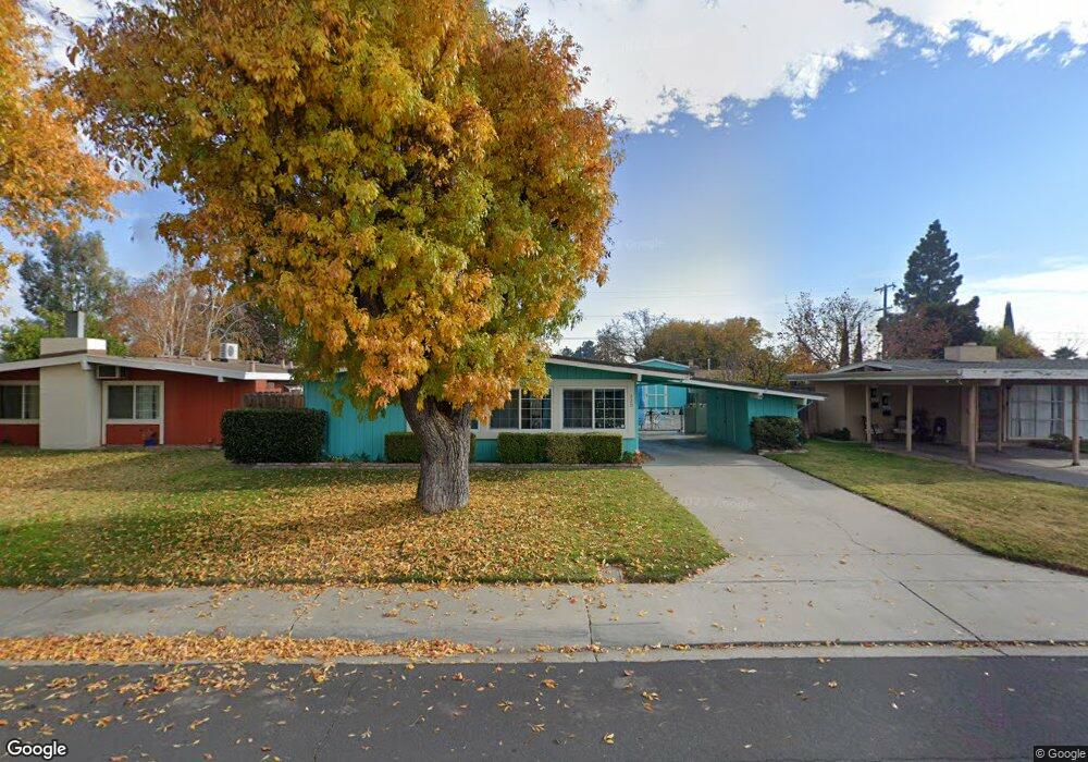
320 S Powers Ave Manteca, CA 95336
Downtown Manteca NeighborhoodEstimated Value: $385,000 - $402,000
3
Beds
1
Bath
1,094
Sq Ft
$360/Sq Ft
Est. Value
About This Home
This home is located at 320 S Powers Ave, Manteca, CA 95336 and is currently estimated at $394,313, approximately $360 per square foot. 320 S Powers Ave is a home located in San Joaquin County with nearby schools including Lincoln Elementary School, Manteca High School, and St. Anthony's Catholic School.
Ownership History
Date
Name
Owned For
Owner Type
Purchase Details
Closed on
Dec 13, 1999
Sold by
Mehring Judith G
Bought by
Walker Gary Charles and Walker Linda S
Current Estimated Value
Home Financials for this Owner
Home Financials are based on the most recent Mortgage that was taken out on this home.
Original Mortgage
$118,320
Interest Rate
7.82%
Mortgage Type
VA
Create a Home Valuation Report for This Property
The Home Valuation Report is an in-depth analysis detailing your home's value as well as a comparison with similar homes in the area
Home Values in the Area
Average Home Value in this Area
Purchase History
| Date | Buyer | Sale Price | Title Company |
|---|---|---|---|
| Walker Gary Charles | $116,000 | Old Republic Title Company |
Source: Public Records
Mortgage History
| Date | Status | Borrower | Loan Amount |
|---|---|---|---|
| Previous Owner | Walker Gary Charles | $118,320 |
Source: Public Records
Tax History
| Year | Tax Paid | Tax Assessment Tax Assessment Total Assessment is a certain percentage of the fair market value that is determined by local assessors to be the total taxable value of land and additions on the property. | Land | Improvement |
|---|---|---|---|---|
| 2025 | $51 | $178,274 | $46,102 | $132,172 |
| 2024 | $72 | $174,780 | $45,199 | $129,581 |
| 2023 | $131 | $171,354 | $44,313 | $127,041 |
| 2022 | $217 | $167,995 | $43,445 | $124,550 |
| 2021 | $209 | $164,702 | $42,594 | $122,108 |
| 2020 | $232 | $163,014 | $42,158 | $120,856 |
| 2019 | $240 | $159,819 | $41,332 | $118,487 |
| 2018 | $259 | $156,686 | $40,522 | $116,164 |
| 2017 | $269 | $153,615 | $39,728 | $113,887 |
| 2016 | $271 | $150,604 | $38,949 | $111,655 |
| 2014 | $17 | $122,200 | $36,400 | $85,800 |
Source: Public Records
Map
Nearby Homes
- 317 Moffat Blvd Unit 21
- 317 Moffat Blvd Unit 14
- 317 Moffat Blvd Unit 6
- 317 Moffat Blvd Unit 5
- 317 Moffat Blvd Unit 7
- 317 Moffat Blvd Unit 20
- 555 555 Moffat Blvd Unit 33
- 123 S Washington Ave
- 505 Mikesell Ave
- 119 N Sherman Ave
- 308 N Grant Ave
- 423 Park Ave
- 315 Lupton St
- 309 Lovell Way
- 1250 Slayton Dr
- 1502 Churcher Dr
- 1830 E Yosemite Ave Unit 7
- 1830 E Yosemite Ave
- 1830 E Yosemite Ave Unit 128
- 1830 E Yosemite Ave Unit 8
- 316 S Powers Ave
- 324 S Powers Ave
- 328 S Powers Ave
- 319 Edward Ave
- 323 Edward Ave
- 315 Edward Ave
- 327 Edward Ave
- 311 Edward Ave
- 904 Marin St
- 332 S Powers Ave
- 319 S Powers Ave
- 315 S Powers Ave
- 323 S Powers Ave
- 912 Marin St
- 331 Edward Ave
- 311 S Powers Ave
- 336 S Powers Ave
- 327 S Powers Ave
- 307 S Powers Ave
- 335 Edward Ave