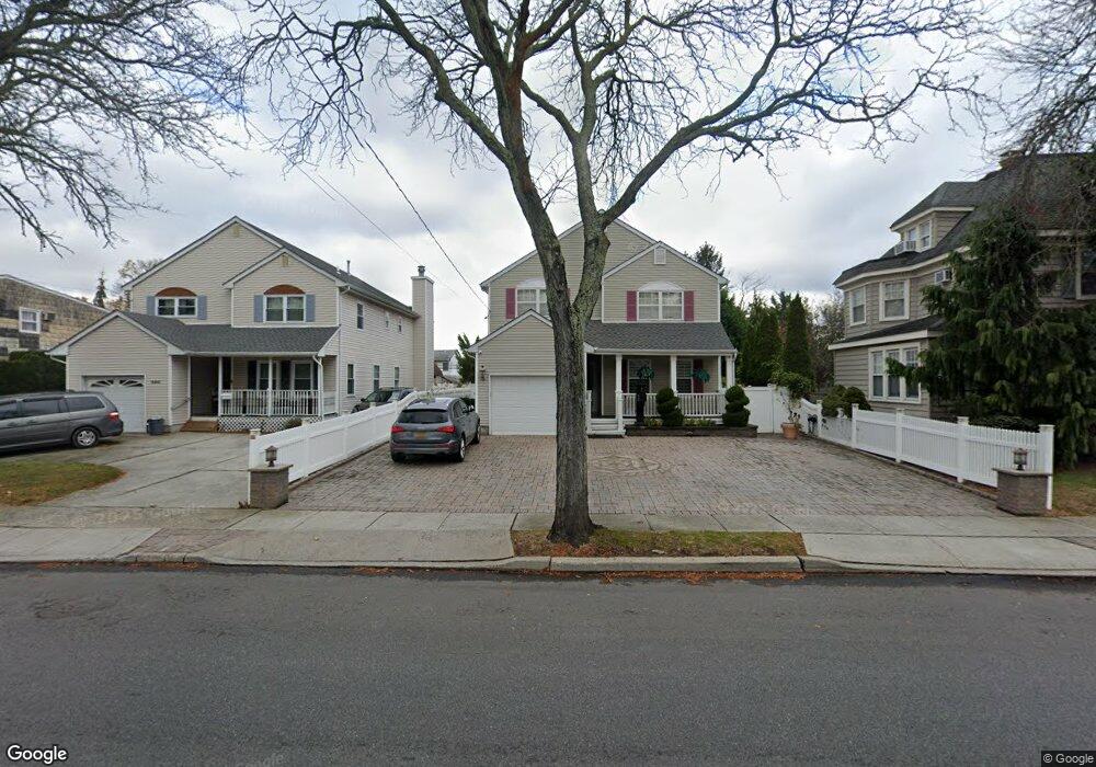
3205 Brower Ave Oceanside, NY 11572
Estimated Value: $847,375 - $966,000
--
Bed
3
Baths
2,449
Sq Ft
$370/Sq Ft
Est. Value
About This Home
This home is located at 3205 Brower Ave, Oceanside, NY 11572 and is currently estimated at $906,688, approximately $370 per square foot. 3205 Brower Ave is a home located in Nassau County with nearby schools including Oaks Elementary School - School 3, Oceanside Middle School, and Oceanside High School.
Ownership History
Date
Name
Owned For
Owner Type
Purchase Details
Closed on
Jun 5, 2007
Sold by
Cobian Manuel
Bought by
Ghirdarry Roy
Current Estimated Value
Purchase Details
Closed on
Mar 27, 1997
Sold by
Midland Partners Corp
Bought by
Cobian Manuel G and Cobian Rita M
Purchase Details
Closed on
Apr 22, 1996
Sold by
Est Shea William
Bought by
Midland Partners Corp
Create a Home Valuation Report for This Property
The Home Valuation Report is an in-depth analysis detailing your home's value as well as a comparison with similar homes in the area
Home Values in the Area
Average Home Value in this Area
Purchase History
| Date | Buyer | Sale Price | Title Company |
|---|---|---|---|
| Ghirdarry Roy | $611,000 | -- | |
| Cobian Manuel G | $265,000 | -- | |
| Midland Partners Corp | $123,000 | -- |
Source: Public Records
Tax History Compared to Growth
Tax History
| Year | Tax Paid | Tax Assessment Tax Assessment Total Assessment is a certain percentage of the fair market value that is determined by local assessors to be the total taxable value of land and additions on the property. | Land | Improvement |
|---|---|---|---|---|
| 2025 | $18,115 | $656 | $218 | $438 |
| 2024 | $5,271 | $624 | $207 | $417 |
| 2023 | $18,729 | $656 | $218 | $438 |
| 2022 | $18,729 | $656 | $218 | $438 |
| 2021 | $18,829 | $634 | $211 | $423 |
| 2020 | $10,210 | $1,304 | $606 | $698 |
| 2019 | $20,922 | $1,304 | $606 | $698 |
| 2018 | $19,724 | $1,304 | $0 | $0 |
| 2017 | $11,508 | $1,304 | $606 | $698 |
| 2016 | $17,476 | $1,304 | $606 | $698 |
| 2015 | $5,701 | $1,304 | $606 | $698 |
| 2014 | $5,701 | $1,304 | $606 | $698 |
| 2013 | $5,299 | $1,304 | $606 | $698 |
Source: Public Records
Map
Nearby Homes
- 25 Sunnybrook Dr E
- 2941 Moreland Ave
- 613 Smith Place
- 31 Arthur St
- 653 Arthur St
- 3354 Knight St
- 647 Lincoln St
- 646 Lincoln St
- 2900 Yale Place
- 2917 Yale Place
- 2929 Yale Place
- 515 Chelsea Rd
- 484 Chelsea Rd
- 3487 Anchor Place
- 3328 Woodward St
- 2810 1st Place
- 3483 Frederick St
- 3066 Ann St
- 719 Lincoln St
- 3309 Balsam St
- 3211 Brower Ave
- 3201 Brower Ave
- 3197 Brower Ave
- 3225 Brower Ave
- 528 Rebecca Ln
- 534 Rebecca Ln
- 522 Rebecca Ln
- 540 Rebecca Ln
- 3189 Brower Ave Unit . 1
- 3189 Brower Ave
- 516 Rebecca Ln
- 3227 Brower Ave
- 3210 Brower Ave
- 546 Rebecca Ln
- 3218 Brower Ave
- 3204 Brower Ave
- 22 Rebecca Ln
- 552 Rebecca Ln
- 505 Ayers Place