3205 N State Route 741 Franklin, OH 45005
Clearcreek Township NeighborhoodEstimated Value: $559,284 - $612,000
3
Beds
3
Baths
2,362
Sq Ft
$248/Sq Ft
Est. Value
About This Home
This home is located at 3205 N State Route 741, Franklin, OH 45005 and is currently estimated at $585,642, approximately $247 per square foot. 3205 N State Route 741 is a home located in Warren County with nearby schools including Clearcreek Elementary School, Dennis Elementary School, and Springboro Intermediate School.
Ownership History
Date
Name
Owned For
Owner Type
Purchase Details
Closed on
Jan 9, 2025
Sold by
Bell Michael B and Harding-Bell Donna S
Bought by
Bell Michael B and Harding-Bell Donna S
Current Estimated Value
Purchase Details
Closed on
Sep 12, 2018
Sold by
Frank Amy E
Bought by
Bell Micheal B and Harding Bell Donna S
Home Financials for this Owner
Home Financials are based on the most recent Mortgage that was taken out on this home.
Original Mortgage
$256,000
Interest Rate
4.5%
Mortgage Type
New Conventional
Purchase Details
Closed on
Oct 5, 1979
Sold by
Mcintosh Mcintosh and Mcintosh Herman D
Create a Home Valuation Report for This Property
The Home Valuation Report is an in-depth analysis detailing your home's value as well as a comparison with similar homes in the area
Home Values in the Area
Average Home Value in this Area
Purchase History
| Date | Buyer | Sale Price | Title Company |
|---|---|---|---|
| Bell Michael B | -- | Prodigy Title | |
| Bell Michael B | -- | Prodigy Title | |
| Bell Michael B | -- | Prodigy Title | |
| Bell Micheal B | $325,000 | None Available | |
| -- | $137,000 | -- |
Source: Public Records
Mortgage History
| Date | Status | Borrower | Loan Amount |
|---|---|---|---|
| Previous Owner | Bell Micheal B | $256,000 |
Source: Public Records
Tax History Compared to Growth
Tax History
| Year | Tax Paid | Tax Assessment Tax Assessment Total Assessment is a certain percentage of the fair market value that is determined by local assessors to be the total taxable value of land and additions on the property. | Land | Improvement |
|---|---|---|---|---|
| 2024 | $4,349 | $106,220 | $32,960 | $73,260 |
| 2023 | $3,691 | $112,210 | $64,988 | $65,299 |
| 2022 | $3,691 | $112,210 | $46,911 | $65,300 |
| 2021 | $3,449 | $112,210 | $46,911 | $65,300 |
| 2020 | $3,347 | $0 | $0 | $0 |
| 2019 | $3,103 | $0 | $0 | $0 |
| 2018 | $2,721 | $0 | $0 | $0 |
| 2017 | $2,882 | $0 | $0 | $0 |
| 2016 | $2,999 | $0 | $0 | $0 |
| 2015 | $2,610 | $0 | $0 | $0 |
| 2014 | $2,610 | $0 | $0 | $0 |
| 2013 | $2,609 | $0 | $0 | $0 |
Source: Public Records
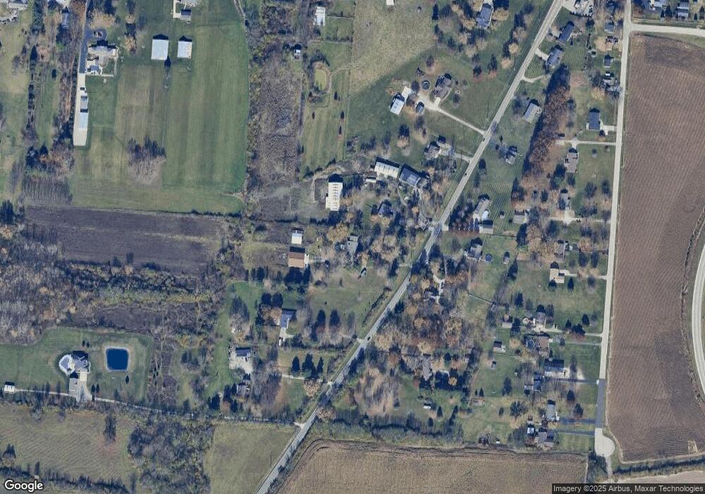
Map
Nearby Homes
- 2866 Ohio 122
- 2866 State Route 122
- 2958 St Rt 122
- 2958 State Route 122
- 3098 Canvasback Ct
- 3086 Canvasback Ct
- 3074 Canvasback Ct
- 3092 Canvasback Ct
- 3080 Canvasback Ct
- 3085 Ohio 122
- 3095 Canvasback Ct
- 3071 Canvasback Ct
- 3077 Canvasback Ct
- 3089 Canvasback Ct
- 3083 Canvasback Ct
- Chattanooga Plan at Trails of Greycliff
- Somerset Plan at Trails of Greycliff
- Miramar Plan at Trails of Greycliff
- Carlisle Plan at Trails of Greycliff
- Birmingham Plan at Trails of Greycliff
- 3227 N State Route 741
- 3184 N State Route 741
- 3184 N State Route 741
- 3214 N State Route 741
- 3229 N State Route 741
- 3135 N State Route 741
- 3234 N State Route 741
- 3275 N State Route 741
- 3297 N State Route 741
- 3294 N State Route 741
- 3294 N State Route 741
- 3093 St Rt 741
- 3294 N State Route 741
- 3294 N Oh-741
- 3093 N State Route 741
- 3117 Ohio 123
- 3137 Old State Route 123
- 3201 N State Route 123
- 3117 N State Route 123
- 2851 St Rt 122