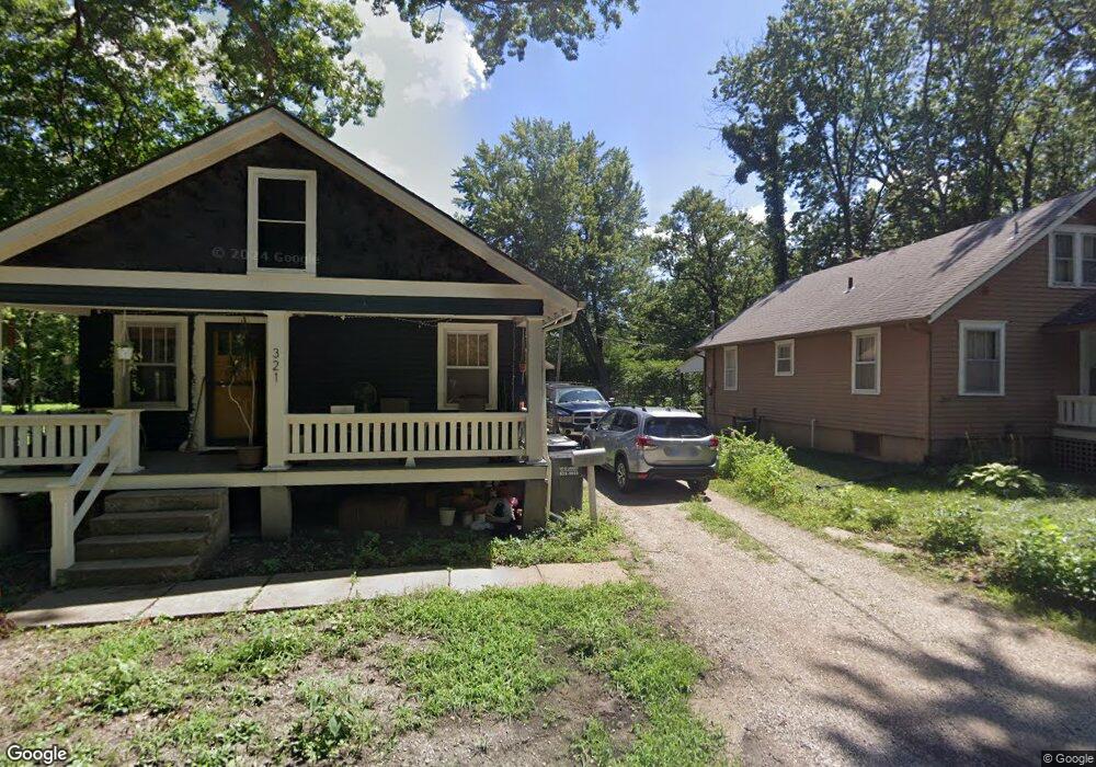
321 E 17th St Lawrence, KS 66044
Barker NeighborhoodEstimated Value: $241,493 - $267,000
2
Beds
1
Bath
912
Sq Ft
$280/Sq Ft
Est. Value
About This Home
This home is located at 321 E 17th St, Lawrence, KS 66044 and is currently estimated at $255,373, approximately $280 per square foot. 321 E 17th St is a home located in Douglas County with nearby schools including Cordley Elementary School, Liberty Memorial Central Middle School, and Lawrence High School.
Ownership History
Date
Name
Owned For
Owner Type
Purchase Details
Closed on
Oct 24, 2023
Sold by
Schumacher Bruce J and Schumacher Brenda A
Bought by
Phillips Aaron Dean and Phillips Marina Katherine
Current Estimated Value
Purchase Details
Closed on
Dec 8, 2016
Sold by
Nimz Dale E
Bought by
Davis Molly E
Home Financials for this Owner
Home Financials are based on the most recent Mortgage that was taken out on this home.
Original Mortgage
$130,150
Interest Rate
3.54%
Mortgage Type
New Conventional
Purchase Details
Closed on
Nov 8, 2011
Sold by
Friedman Reva Carol and Nimz Reva C
Bought by
Nimz Dale E
Home Financials for this Owner
Home Financials are based on the most recent Mortgage that was taken out on this home.
Original Mortgage
$38,000
Interest Rate
3.25%
Mortgage Type
Adjustable Rate Mortgage/ARM
Create a Home Valuation Report for This Property
The Home Valuation Report is an in-depth analysis detailing your home's value as well as a comparison with similar homes in the area
Home Values in the Area
Average Home Value in this Area
Purchase History
| Date | Buyer | Sale Price | Title Company |
|---|---|---|---|
| Phillips Aaron Dean | -- | Security 1St Title | |
| Davis Molly E | -- | Security 1St Title | |
| Nimz Dale E | -- | Commerce Title |
Source: Public Records
Mortgage History
| Date | Status | Borrower | Loan Amount |
|---|---|---|---|
| Previous Owner | Davis Molly E | $130,150 | |
| Previous Owner | Nimz Dale E | $38,000 |
Source: Public Records
Tax History
| Year | Tax Paid | Tax Assessment Tax Assessment Total Assessment is a certain percentage of the fair market value that is determined by local assessors to be the total taxable value of land and additions on the property. | Land | Improvement |
|---|---|---|---|---|
| 2025 | $3,356 | $27,520 | $9,200 | $18,320 |
| 2024 | $3,224 | $26,473 | $8,625 | $17,848 |
| 2023 | $3,022 | $23,782 | $6,900 | $16,882 |
| 2022 | $2,780 | $21,758 | $6,325 | $15,433 |
| 2021 | $2,411 | $18,193 | $5,175 | $13,018 |
| 2020 | $2,275 | $17,273 | $5,175 | $12,098 |
| 2019 | $2,186 | $16,629 | $4,947 | $11,682 |
| 2018 | $2,123 | $16,043 | $4,720 | $11,323 |
| 2017 | $2,108 | $15,755 | $4,720 | $11,035 |
| 2016 | $1,728 | $13,547 | $4,884 | $8,663 |
| 2015 | -- | $13,547 | $4,884 | $8,663 |
| 2014 | -- | $13,547 | $4,884 | $8,663 |
Source: Public Records
Map
Nearby Homes
- 1644 Barker Ave
- 1634 Rhode Island St
- 1630 Barker Ave
- 414 Forrest Ave
- 5701 Johnson Ave
- 5804 Johnson Ave
- 2016 New Hampshire St
- 717 Beatnik Ct
- 1341 Rhode Island St
- 903 Anna Tappan Way
- 907 Anna Tappan Way
- 931 Lasalle St
- 1327 New Jersey St
- 1923 Tennessee St
- 1616 Louisiana St
- 2127 Rhode Island St
- 2115 Massachusetts St
- 2146 Rhode Island St
- 1215 New Jersey St
- 2208 Massachusetts St
- 313 E 17th St
- 1700 Barker Ave
- 1704 Barker Ave
- 1646 Barker Ave
- 421 Forrest Ave
- 429 Forrest Ave
- 1706 Barker Ave
- 1721 Learnard Ave
- 1703 Learnard Ave
- 1709 Learnard Ave
- 415 Forrest Ave
- 431 Forrest Ave
- 1715 Learnard Ave
- 417 Forrest Ave
- 1645 Learnard Ave
- 1642 Barker Ave
- 1724 Barker Ave
- 1639 Learnard Ave
- 1638 Barker Ave
- 1735 Learnard Ave
Your Personal Tour Guide
Ask me questions while you tour the home.