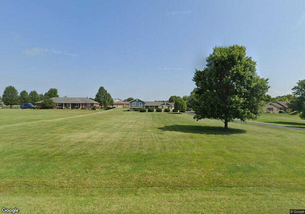
3210 State Route 122 Franklin, OH 45005
Estimated Value: $458,000 - $482,274
4
Beds
3
Baths
1,489
Sq Ft
$315/Sq Ft
Est. Value
About This Home
This home is located at 3210 State Route 122, Franklin, OH 45005 and is currently estimated at $469,069, approximately $315 per square foot. 3210 State Route 122 is a home located in Warren County with nearby schools including Clearcreek Elementary School, Dennis Elementary School, and Springboro Intermediate School.
Ownership History
Date
Name
Owned For
Owner Type
Purchase Details
Closed on
May 5, 1999
Sold by
Kirk Michael C
Bought by
Kuenle Brian P and Kuenle Andrea M
Current Estimated Value
Home Financials for this Owner
Home Financials are based on the most recent Mortgage that was taken out on this home.
Original Mortgage
$143,900
Outstanding Balance
$33,422
Interest Rate
7.04%
Mortgage Type
New Conventional
Estimated Equity
$435,647
Purchase Details
Closed on
Aug 19, 1994
Sold by
Howard Michael A
Bought by
Kirk Mike and Kirk Cathy Ryczek
Purchase Details
Closed on
Nov 26, 1993
Sold by
Howard Howard and Howard Michael A
Bought by
Howard Howard and Howard Michael A
Create a Home Valuation Report for This Property
The Home Valuation Report is an in-depth analysis detailing your home's value as well as a comparison with similar homes in the area
Home Values in the Area
Average Home Value in this Area
Purchase History
| Date | Buyer | Sale Price | Title Company |
|---|---|---|---|
| Kuenle Brian P | $179,900 | -- | |
| Kirk Mike | $27,900 | -- | |
| Howard Howard | -- | -- |
Source: Public Records
Mortgage History
| Date | Status | Borrower | Loan Amount |
|---|---|---|---|
| Open | Kuenle Brian P | $143,900 | |
| Closed | Kirk Mike | $0 |
Source: Public Records
Tax History
| Year | Tax Paid | Tax Assessment Tax Assessment Total Assessment is a certain percentage of the fair market value that is determined by local assessors to be the total taxable value of land and additions on the property. | Land | Improvement |
|---|---|---|---|---|
| 2025 | $4,757 | $131,410 | $37,520 | $93,890 |
| 2024 | $4,757 | $131,410 | $37,520 | $93,890 |
| 2023 | $4,088 | $104,363 | $21,336 | $83,027 |
| 2022 | $4,015 | $104,363 | $21,336 | $83,027 |
| 2021 | $3,709 | $104,363 | $21,336 | $83,027 |
| 2020 | $3,446 | $84,847 | $17,346 | $67,501 |
| 2019 | $3,465 | $84,847 | $17,346 | $67,501 |
| 2018 | $3,456 | $84,847 | $17,346 | $67,501 |
| 2017 | $3,194 | $70,378 | $14,840 | $55,538 |
| 2016 | $3,331 | $70,378 | $14,840 | $55,538 |
| 2015 | $3,337 | $70,378 | $14,840 | $55,538 |
| 2014 | $3,342 | $67,090 | $14,200 | $52,890 |
| 2013 | $3,339 | $81,820 | $17,080 | $64,740 |
Source: Public Records
Map
Nearby Homes
- 3095 Canvasback Ct
- 3071 Canvasback Ct
- 3077 Canvasback Ct
- 3089 Canvasback Ct
- 3083 Canvasback Ct
- 3098 Canvasback Ct
- 3086 Canvasback Ct
- 3074 Canvasback Ct
- 3092 Canvasback Ct
- 3080 Canvasback Ct
- 3457 Madison Grace Way
- 3385 Madison Grace Way
- 3386 Old State Route 123
- 3545 Robinson Vail Rd
- 3644 Connie Dr
- 3412 State Route 122
- 2442 Berkeley Ct
- 3626 Colton Ct
- 4385 Harvest Ln
- 2276 Presley Ct
- 3534 Noble Way
- 3174 State Route 122
- 3578 Noble Way
- 3596 Noble Way
- 3535 Noble Way
- 3146 State Route 122
- 3616 Noble Way
- 3300 State Route 122
- 3362 State Route 122
- 3126 State Route 122
- 3300 Ohio 122
- 3634 Noble Way
- 3082 State Route 122
- 3581 Noble Way
- 3322 State Route 122
- 3603 Noble Way
- 3086 Ohio 122 Unit 10
- 3086 Ohio 122
- 3086 State Route 122
- 3660 Noble Way
Your Personal Tour Guide
Ask me questions while you tour the home.