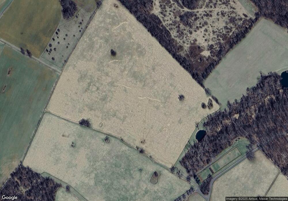
32128 John s Mosby Hwy Upperville, VA 20184
Estimated Value: $2,541,000 - $10,485,462
--
Bed
2
Baths
15,099
Sq Ft
$431/Sq Ft
Est. Value
About This Home
This home is located at 32128 John s Mosby Hwy, Upperville, VA 20184 and is currently estimated at $6,513,231, approximately $431 per square foot. 32128 John s Mosby Hwy is a home located in Loudoun County with nearby schools including Banneker Elementary School, Blue Ridge Middle School, and Loudoun Valley High School.
Create a Home Valuation Report for This Property
The Home Valuation Report is an in-depth analysis detailing your home's value as well as a comparison with similar homes in the area
Home Values in the Area
Average Home Value in this Area
Tax History Compared to Growth
Tax History
| Year | Tax Paid | Tax Assessment Tax Assessment Total Assessment is a certain percentage of the fair market value that is determined by local assessors to be the total taxable value of land and additions on the property. | Land | Improvement |
|---|---|---|---|---|
| 2025 | $33,415 | $4,150,980 | $815,970 | $3,335,010 |
| 2024 | $37,838 | $4,374,280 | $874,680 | $3,499,600 |
| 2023 | $34,563 | $3,950,060 | $733,880 | $3,216,180 |
| 2022 | $35,993 | $4,044,150 | $635,590 | $3,408,560 |
| 2021 | $41,661 | $11,257,970 | $7,574,200 | $3,683,770 |
| 2020 | $41,047 | $10,938,110 | $7,574,200 | $3,363,910 |
| 2019 | $40,313 | $10,890,590 | $7,574,200 | $3,316,390 |
| 2018 | $41,838 | $10,892,090 | $7,574,200 | $3,317,890 |
| 2017 | $41,035 | $10,718,550 | $7,577,000 | $3,141,550 |
| 2016 | $38,003 | $3,319,040 | $0 | $0 |
| 2015 | $36,663 | $3,230,200 | $456,060 | $2,774,140 |
| 2014 | $41,467 | $3,590,200 | $411,750 | $3,178,450 |
Source: Public Records
Map
Nearby Homes
- 1170 Parker St
- 10157 John s Mosby Hwy
- 21515 Trappe Rd
- 1787 Light Horse Ln
- 21281 Belle Grey Ln
- 21826 Blue Ridge Mountain Rd
- 0 Blue Ridge Mountain Rd Unit VALO2105128
- 0 Blue Ridge Mountain Rd
- Mount Carmel Road Lot Unit WP001
- 0 Mount Carmel Rd
- 1661 Frogtown Rd
- 0 Cliff Ln
- 34679 Atoka Chase Ln
- 22379 Cavalry Heights Cir
- 23117 Pantherskin Ln
- 2919 Rokeby Rd
- 19488 Blueridge Mountain Rd
- 20596 Airmont Rd
- 0 Leeds Manor Rd Unit VAFQ2017966
- 9425 Blackpond Ln
- 32200 Cavalcade Ln
- 32293 Cavalcade Ln
- 9277 John s Mosby Hwy
- 9303 John s Mosby Hwy
- 32389 Cavalcade Ln
- 9347 Brooks Cluster Cir
- 9346 Brooks Cluster Cir
- 1071 Trappe Rd
- 9341 Brooks Cluster Cir
- 9334 Brooks Cluster Cir
- 9337 Brooks Cluster Cir
- 9266 Patrick St
- 9330 Brooks Cluster Cir
- 9202 Patrick St
- 9240 Patrick St
- 9216 Patrick St
- 22440 Trappe Rd
- 9262 Patrick St
- 9258 Patrick St
- 0 Patrick St Unit VAFQ2004386
