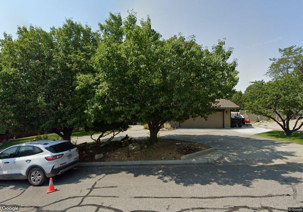
3214 Lloyd Mangrum Ln Billings, MT 59106
West Shiloh NeighborhoodEstimated Value: $647,304 - $717,000
5
Beds
3
Baths
4,612
Sq Ft
$145/Sq Ft
Est. Value
About This Home
This home is located at 3214 Lloyd Mangrum Ln, Billings, MT 59106 and is currently estimated at $668,076, approximately $144 per square foot. 3214 Lloyd Mangrum Ln is a home located in Yellowstone County with nearby schools including Arrowhead School, Ben Steele Middle School, and Billings West High School.
Ownership History
Date
Name
Owned For
Owner Type
Purchase Details
Closed on
May 15, 2018
Sold by
Donahue Brian T
Bought by
Donahue Brian T and Donahue Trust
Current Estimated Value
Home Financials for this Owner
Home Financials are based on the most recent Mortgage that was taken out on this home.
Interest Rate
4.55%
Purchase Details
Closed on
Oct 5, 2012
Sold by
Donahue Toni M
Bought by
Donahue Brian T
Create a Home Valuation Report for This Property
The Home Valuation Report is an in-depth analysis detailing your home's value as well as a comparison with similar homes in the area
Home Values in the Area
Average Home Value in this Area
Purchase History
| Date | Buyer | Sale Price | Title Company |
|---|---|---|---|
| Donahue Brian T | -- | -- | |
| Donahue Brian T | -- | None Available |
Source: Public Records
Mortgage History
| Date | Status | Borrower | Loan Amount |
|---|---|---|---|
| Closed | Donahue Brian T | -- |
Source: Public Records
Tax History Compared to Growth
Tax History
| Year | Tax Paid | Tax Assessment Tax Assessment Total Assessment is a certain percentage of the fair market value that is determined by local assessors to be the total taxable value of land and additions on the property. | Land | Improvement |
|---|---|---|---|---|
| 2025 | $5,100 | $657,600 | $98,241 | $559,359 |
| 2024 | $5,100 | $511,600 | $82,021 | $429,579 |
| 2023 | $5,078 | $511,600 | $82,021 | $429,579 |
| 2022 | $4,891 | $434,500 | $0 | $0 |
| 2021 | $4,616 | $434,500 | $0 | $0 |
| 2020 | $4,574 | $412,500 | $0 | $0 |
| 2019 | $4,170 | $360,800 | $0 | $0 |
| 2018 | $4,310 | $369,200 | $0 | $0 |
| 2017 | $4,197 | $369,200 | $0 | $0 |
| 2016 | $3,745 | $327,300 | $0 | $0 |
| 2015 | $3,662 | $327,300 | $0 | $0 |
| 2014 | $3,777 | $170,819 | $0 | $0 |
Source: Public Records
Map
Nearby Homes
- 5522 Bobby Jones Blvd
- 3043 Lloyd Mangrum Ln
- 3485 Stone Mountain Cir
- 3230 Ben Hogan Ln
- 3012 54th St W
- 5432 Billy Casper Dr
- 5625 Walter Hagen Dr
- Lot 13 Glynn Abby Trail
- Lot 14 Glynn Abby Trail
- Lot 22 Aston Bay Cr
- Lot 23 Aston Bay Cr
- Lot 21 Aston Bay Cr
- Lot 24 Aston Bay Cr
- 5810 Sam Snead Trail
- 3035 Arnold Palmer Dr
- 2659 Arnold Palmer Dr
- 5452 Apple Rose Ln
- 5434 Apple Rose Ln
- 5422 Apple Rose Ln
- 5410 Apple Rose Ln
- 3211 Horton Smith Ln
- 5505 Bobby Jones Blvd
- 3219 Lloyd Mangrum Ln
- 3217 Horton Smith Ln
- 3232 Lloyd Mangrum Ln
- 3213 Lloyd Mangrum Ln
- 5521 Bobby Jones Blvd
- 3227 Lloyd Mangrum Ln
- 5451 Bobby Jones Blvd
- 3229 Horton Smith Ln
- 3240 Lloyd Mangrum Ln
- 3214 Horton Smith Ln
- 3233 Lloyd Mangrum Ln
- 3224 Horton Smith Ln
- 3235 Horton Smith Ln
- 5430 Gene Sarazen Dr
- 5450 Bobby Jones Blvd
- 3308 Lloyd Mangrum Ln
- 3303 Lloyd Mangrum Ln
- 5432 Gene Sarazen Dr