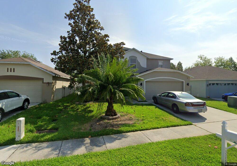
32153 Brookstone Dr Wesley Chapel, FL 33545
Estimated Value: $392,000 - $422,670
--
Bed
3
Baths
2,480
Sq Ft
$165/Sq Ft
Est. Value
About This Home
This home is located at 32153 Brookstone Dr, Wesley Chapel, FL 33545 and is currently estimated at $408,918, approximately $164 per square foot. 32153 Brookstone Dr is a home located in Pasco County with nearby schools including New River Elementary School, Thomas E. Weightman Middle School, and Wesley Chapel High School.
Ownership History
Date
Name
Owned For
Owner Type
Purchase Details
Closed on
Mar 22, 2004
Sold by
Kb Home Tampa Llc
Bought by
Trader William R and Trader Desiree
Current Estimated Value
Home Financials for this Owner
Home Financials are based on the most recent Mortgage that was taken out on this home.
Original Mortgage
$155,000
Outstanding Balance
$72,186
Interest Rate
5.62%
Mortgage Type
Unknown
Estimated Equity
$336,732
Create a Home Valuation Report for This Property
The Home Valuation Report is an in-depth analysis detailing your home's value as well as a comparison with similar homes in the area
Home Values in the Area
Average Home Value in this Area
Purchase History
| Date | Buyer | Sale Price | Title Company |
|---|---|---|---|
| Trader William R | $172,999 | First American Title |
Source: Public Records
Mortgage History
| Date | Status | Borrower | Loan Amount |
|---|---|---|---|
| Open | Trader William R | $155,000 |
Source: Public Records
Tax History Compared to Growth
Tax History
| Year | Tax Paid | Tax Assessment Tax Assessment Total Assessment is a certain percentage of the fair market value that is determined by local assessors to be the total taxable value of land and additions on the property. | Land | Improvement |
|---|---|---|---|---|
| 2025 | $2,605 | $187,760 | -- | -- |
| 2024 | $2,605 | $182,470 | -- | -- |
| 2023 | $2,502 | $177,160 | $0 | $0 |
| 2022 | $2,240 | $172,000 | $0 | $0 |
| 2021 | $2,191 | $166,990 | $25,811 | $141,179 |
| 2020 | $2,152 | $164,690 | $32,748 | $131,942 |
| 2019 | $2,109 | $160,990 | $0 | $0 |
| 2018 | $2,065 | $157,989 | $0 | $0 |
| 2017 | $2,053 | $157,989 | $0 | $0 |
| 2016 | $1,989 | $151,556 | $0 | $0 |
| 2015 | $1,584 | $125,257 | $0 | $0 |
| 2014 | $1,536 | $145,634 | $29,743 | $115,891 |
Source: Public Records
Map
Nearby Homes
- 32111 Brookstone Dr
- 32327 Fish Hook Loop
- 4735 Red Pine Way
- 5112 Prairie View Way
- 5145 Prairie View Way
- 4633 White Bay Cir
- 5248 New Savannah Cir
- 5019 Autumn Ridge Dr
- 4527 Redcoat Dr
- 29626 Florida 54
- 34020 & 34024 Florida 54
- 4606 Cantor Dr
- 32628 Harmony Oaks Dr
- 31704 Loch Aline Dr
- 31645 Bugle Ln
- 5624 Fisher Glen Loop
- 4535 Foxwood Blvd
- 5492 Suncatcher Dr
- 4329 Ashton Meadows Way
- 4256 Ashton Meadows Way
- 32149 Brookstone Dr
- 32145 Brookstone Dr
- 32205 Brookstone Dr
- 32148 Brookstone Dr
- 32144 Brookstone Dr
- 32206 Brookstone Dr
- 32137 Brookstone Dr
- 32152 Brookstone Dr
- 32140 Brookstone Dr
- 32200 Brookstone Dr
- 32133 Brookstone Dr
- 32144 Northridge Dr
- 32140 Northridge Dr
- 32129 Brookstone Dr
- 4939 Prairie View Way
- 32136 Northridge Dr
- 32123 Brookstone Dr
- 4945 Prairie View Way
- 32130 Northridge Dr