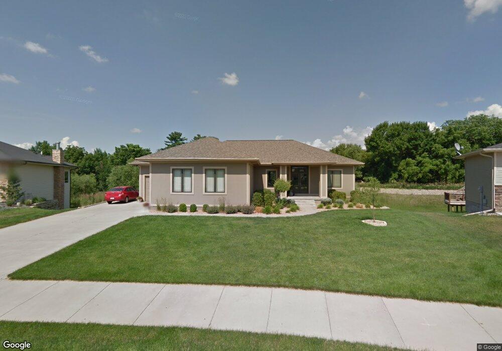
3219 143rd St Urbandale, IA 50323
Estimated Value: $567,000 - $770,000
4
Beds
3
Baths
2,163
Sq Ft
$301/Sq Ft
Est. Value
About This Home
This home is located at 3219 143rd St, Urbandale, IA 50323 and is currently estimated at $651,117, approximately $301 per square foot. 3219 143rd St is a home located in Dallas County with nearby schools including Shuler Elementary School and Waukee Middle School.
Ownership History
Date
Name
Owned For
Owner Type
Purchase Details
Closed on
Sep 21, 2015
Sold by
Mueller Bob and Mueller Robin
Bought by
Mueller Robert K and Robert K Mueller Trust
Current Estimated Value
Purchase Details
Closed on
Jan 13, 2012
Sold by
Prenger Brent A and Kiewiet Kimberly F
Bought by
Mueller Bob and Mueller Robin
Purchase Details
Closed on
Dec 15, 2005
Sold by
Hubbell Properties Ii L C
Bought by
Prenger Brent A and Kiewiet Kimberly F
Home Financials for this Owner
Home Financials are based on the most recent Mortgage that was taken out on this home.
Original Mortgage
$441,000
Interest Rate
6.48%
Mortgage Type
Construction
Create a Home Valuation Report for This Property
The Home Valuation Report is an in-depth analysis detailing your home's value as well as a comparison with similar homes in the area
Home Values in the Area
Average Home Value in this Area
Purchase History
| Date | Buyer | Sale Price | Title Company |
|---|---|---|---|
| Mueller Robert K | -- | None Available | |
| Mueller Bob | $518,500 | None Available | |
| Prenger Brent A | $62,000 | None Available |
Source: Public Records
Mortgage History
| Date | Status | Borrower | Loan Amount |
|---|---|---|---|
| Previous Owner | Prenger Brent A | $441,000 |
Source: Public Records
Tax History Compared to Growth
Tax History
| Year | Tax Paid | Tax Assessment Tax Assessment Total Assessment is a certain percentage of the fair market value that is determined by local assessors to be the total taxable value of land and additions on the property. | Land | Improvement |
|---|---|---|---|---|
| 2024 | $10,396 | $648,150 | $80,000 | $568,150 |
| 2023 | $10,396 | $648,150 | $80,000 | $568,150 |
| 2022 | $9,942 | $570,310 | $80,000 | $490,310 |
| 2021 | $9,942 | $551,880 | $65,000 | $486,880 |
| 2020 | $9,878 | $528,540 | $65,000 | $463,540 |
| 2019 | $10,120 | $528,540 | $65,000 | $463,540 |
| 2018 | $10,120 | $510,890 | $65,000 | $445,890 |
| 2017 | $9,778 | $510,890 | $65,000 | $445,890 |
| 2016 | $9,464 | $512,450 | $65,000 | $447,450 |
| 2015 | $9,132 | $500,970 | $0 | $0 |
| 2014 | $9,132 | $478,030 | $0 | $0 |
Source: Public Records
Map
Nearby Homes
- 14130 Wilden Dr
- 2705 147th St
- 14134 Wilden Dr
- 14136 Wilden Dr
- 3943 NW 181st St
- 4010 NW 181st St
- 3997 NW 181st St
- 3703 149th St
- 14152 Maple Dr
- 14148 Maple Dr
- 14147 Maple Dr
- 14151 Maple Dr
- 14155 Maple Dr
- 14405 Holcomb Ave
- 4622 173rd St
- 4616 173rd St
- 4647 173rd St
- 3105 152nd St
- 4766 148th St
- 15142 Clearview Ln
- 14301 Clearview Ln
- 3215 143rd St
- 14304 Clearview Ln
- 3211 143rd St
- 14305 Clearview Ln
- 3410 142nd St
- 3406 142nd St
- 3416 142nd St
- 3205 143rd St
- 14310 Clearview Ln
- 14311 Clearview Ln
- 14307 Dellwood Dr
- 14223 Dellwood Dr
- 14219 Dellwood Dr
- 14316 Clearview Ln
- 14311 Dellwood Dr
- 14317 Clearview Ln
- 14215 Dellwood Dr
- 14315 Dellwood Dr
- 14322 Clearview Ln