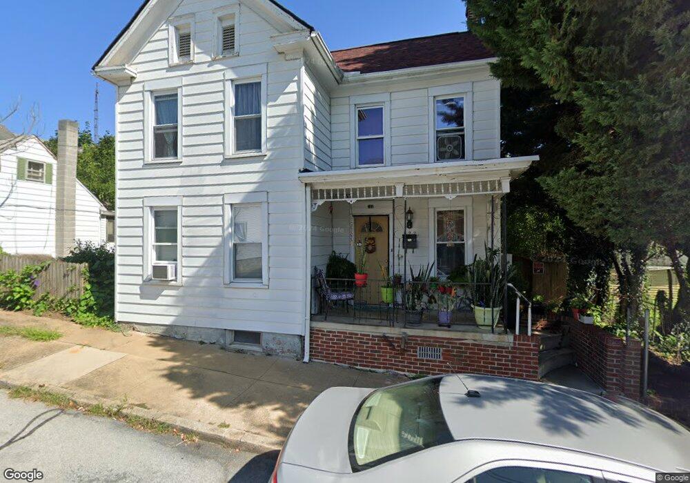
322 Liberty St Hagerstown, MD 21740
East End NeighborhoodEstimated Value: $170,000 - $197,757
3
Beds
1
Bath
1,280
Sq Ft
$146/Sq Ft
Est. Value
About This Home
This home is located at 322 Liberty St, Hagerstown, MD 21740 and is currently estimated at $186,939, approximately $146 per square foot. 322 Liberty St is a home located in Washington County with nearby schools including Pangborn Elementary School, Otsego West Campus High School, and Northern Middle School.
Ownership History
Date
Name
Owned For
Owner Type
Purchase Details
Closed on
Nov 16, 2009
Sold by
Federal National Mortgage Association
Bought by
Mcfadden Dawn
Current Estimated Value
Purchase Details
Closed on
Jun 29, 2009
Sold by
Brawner Timothy D
Bought by
Federal National Loan Mortgage and Association
Purchase Details
Closed on
Nov 2, 1999
Sold by
Conley Dale E
Bought by
Brawner Timothy D and Marquiss Lois E
Create a Home Valuation Report for This Property
The Home Valuation Report is an in-depth analysis detailing your home's value as well as a comparison with similar homes in the area
Home Values in the Area
Average Home Value in this Area
Purchase History
| Date | Buyer | Sale Price | Title Company |
|---|---|---|---|
| Mcfadden Dawn | $58,000 | -- | |
| Federal National Loan Mortgage | $66,569 | -- | |
| Brawner Timothy D | $73,000 | -- |
Source: Public Records
Mortgage History
| Date | Status | Borrower | Loan Amount |
|---|---|---|---|
| Closed | Mcfadden Dawn | -- |
Source: Public Records
Tax History Compared to Growth
Tax History
| Year | Tax Paid | Tax Assessment Tax Assessment Total Assessment is a certain percentage of the fair market value that is determined by local assessors to be the total taxable value of land and additions on the property. | Land | Improvement |
|---|---|---|---|---|
| 2025 | $1,045 | $135,300 | $37,400 | $97,900 |
| 2024 | $1,045 | $126,233 | $0 | $0 |
| 2023 | $992 | $117,167 | $0 | $0 |
| 2022 | $941 | $108,100 | $37,400 | $70,700 |
| 2021 | $868 | $101,600 | $0 | $0 |
| 2020 | $868 | $95,100 | $0 | $0 |
| 2019 | $828 | $88,600 | $37,400 | $51,200 |
| 2018 | $828 | $88,600 | $37,400 | $51,200 |
| 2017 | $828 | $88,600 | $0 | $0 |
| 2016 | -- | $93,900 | $0 | $0 |
| 2015 | -- | $93,900 | $0 | $0 |
| 2014 | $2,208 | $93,900 | $0 | $0 |
Source: Public Records
Map
Nearby Homes
- 338 Liberty St
- 136 N Cannon Ave
- 351 Liberty St
- 312 E Franklin St
- 414 E Franklin St
- 207 N Mulberry St
- 51 N Cannon Ave
- 200 E Franklin St
- 142 East Ave
- 440 Liberty St
- 35 N Cleveland Ave
- 133 Randolph Ave
- 228 E Washington St
- 115 East Ave
- 15 S Cannon Ave
- 227 N Locust St
- 308 N Locust St
- 16 S Mulberry St
- 243 N Locust St
- 528 Jefferson St
- 316 Liberty St
- 314 Liberty St
- 330 Liberty St
- 313 Liberty St
- 321 Liberty St
- 325 Liberty St
- 317 Liberty St Unit 319
- 306 Liberty St
- 327 Liberty St
- 309 Liberty St
- 144 N Cannon Ave
- 148 N Cannon Ave
- 334 Liberty St
- 331 Liberty St
- 150 N Cannon Ave
- 200 N Cannon Ave
- 200 N Cannon Ave
- 126 N Cannon Ave
- 342 Liberty St
- 335 Liberty St