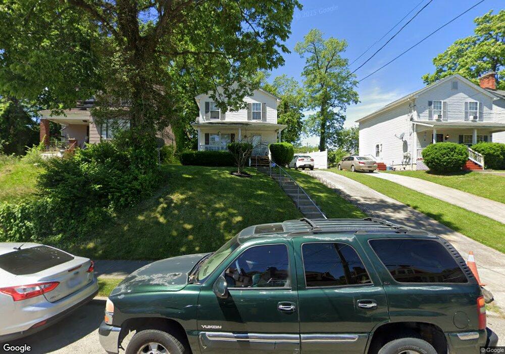
3223 Beresford Ave Cincinnati, OH 45206
Walnut Hills NeighborhoodEstimated Value: $196,000 - $279,460
3
Beds
2
Baths
1,320
Sq Ft
$181/Sq Ft
Est. Value
About This Home
This home is located at 3223 Beresford Ave, Cincinnati, OH 45206 and is currently estimated at $239,365, approximately $181 per square foot. 3223 Beresford Ave is a home located in Hamilton County with nearby schools including Frederick Douglass Elementary School, Robert A. Taft Information Technology High School, and Clark Montessori High School.
Ownership History
Date
Name
Owned For
Owner Type
Purchase Details
Closed on
Oct 24, 2002
Sold by
Cincinnati Habitat For Humanity Inc
Bought by
Suttles Linda
Current Estimated Value
Home Financials for this Owner
Home Financials are based on the most recent Mortgage that was taken out on this home.
Original Mortgage
$66,464
Interest Rate
6.01%
Mortgage Type
Seller Take Back
Purchase Details
Closed on
Nov 27, 2001
Sold by
Pauline Strayhorne
Bought by
Cincinnati Habitat For Humanity Inc
Create a Home Valuation Report for This Property
The Home Valuation Report is an in-depth analysis detailing your home's value as well as a comparison with similar homes in the area
Home Values in the Area
Average Home Value in this Area
Purchase History
| Date | Buyer | Sale Price | Title Company |
|---|---|---|---|
| Suttles Linda | $65,200 | -- | |
| Cincinnati Habitat For Humanity Inc | $51,100 | -- |
Source: Public Records
Mortgage History
| Date | Status | Borrower | Loan Amount |
|---|---|---|---|
| Previous Owner | Suttles Linda | $66,464 |
Source: Public Records
Tax History Compared to Growth
Tax History
| Year | Tax Paid | Tax Assessment Tax Assessment Total Assessment is a certain percentage of the fair market value that is determined by local assessors to be the total taxable value of land and additions on the property. | Land | Improvement |
|---|---|---|---|---|
| 2024 | $4,172 | $79,916 | $32,200 | $47,716 |
| 2023 | $4,318 | $79,916 | $32,200 | $47,716 |
| 2022 | $2,821 | $50,148 | $19,320 | $30,828 |
| 2021 | $2,700 | $50,148 | $19,320 | $30,828 |
| 2020 | $2,795 | $50,148 | $19,320 | $30,828 |
| 2019 | $2,435 | $41,790 | $16,100 | $25,690 |
| 2018 | $3,091 | $41,790 | $16,100 | $25,690 |
| 2017 | $1,137 | $41,790 | $16,100 | $25,690 |
| 2016 | $268 | $37,688 | $3,430 | $34,258 |
| 2015 | $241 | $37,688 | $3,430 | $34,258 |
| 2014 | $242 | $37,688 | $3,430 | $34,258 |
| 2013 | $250 | $38,458 | $3,500 | $34,958 |
Source: Public Records
Map
Nearby Homes
- 3219 Beresford Ave
- 3048 Gilbert Ave
- 3025 Gilbert Ave
- 3079 Kerper Ave
- 3206 Gilbert Ave
- 1537 Dixmont Ave
- 3144 Durrell Ave
- 3217 Gilbert Ave
- 1517 Saint Leger Place
- 3121 Harvard Ave
- 1521 Blair Ave
- 3238 Gilbert Ave
- 3319 Milton Ct
- 1545 Ruth Ave
- 3136 Harvard Ave
- 856 Lincoln Ave
- 1541 Blair Ave
- 3021 Melrose Ave
- 3409 Fernside Place
- 1335 Lincoln Ave
- 3227 Beresford Ave
- 3231 Beresford Ave
- 3104 Mathers St
- 3211 Beresford Ave
- 3102 Mathers St
- 3216 Beresford Ave
- 3109 Mathers St
- 3235 Beresford Ave
- 3214 Beresford Ave
- 3234 Rammelsberg St
- 3218 Beresford Ave
- 3220 Beresford Ave
- 3228 Beresford Ave
- 3230 Beresford Ave
- 3240 Rammelsberg St
- 3232 Beresford Ave
- 3243 Beresford Ave
- 3242 Rammelsberg St
- 3236 Beresford Ave
- 3240 Beresford Ave