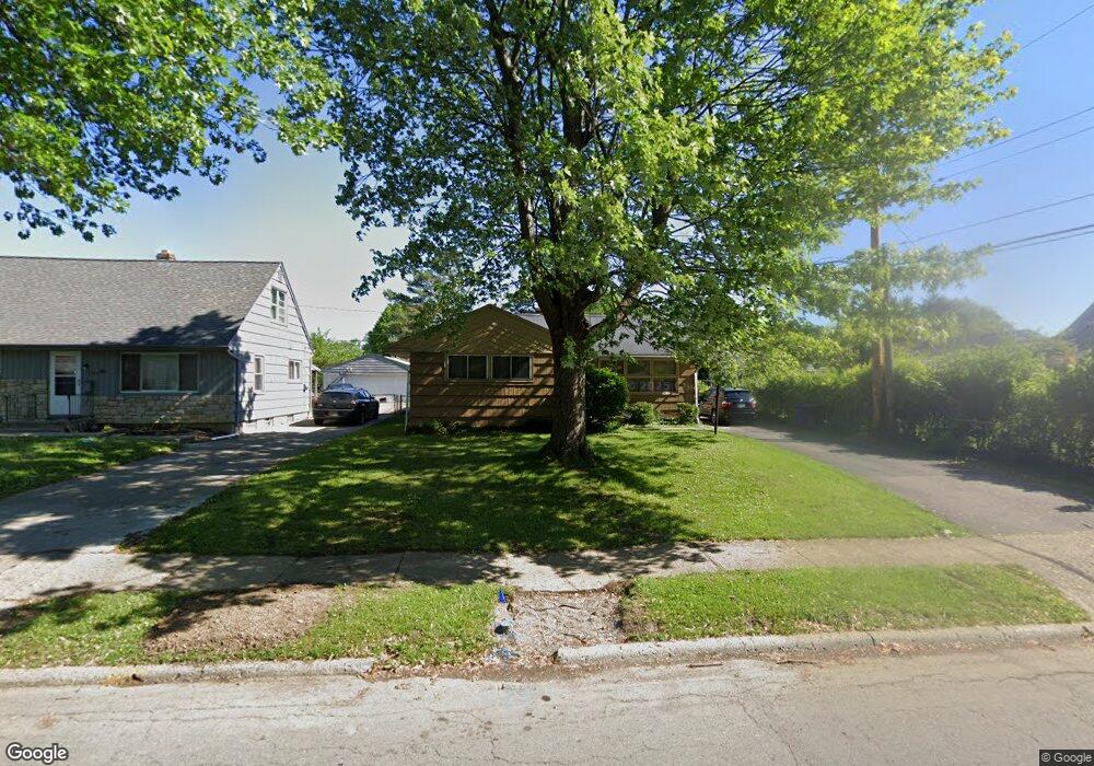
3228 Scottwood Rd Columbus, OH 43227
Linwood NeighborhoodEstimated Value: $195,282 - $230,000
4
Beds
1
Bath
1,149
Sq Ft
$181/Sq Ft
Est. Value
About This Home
This home is located at 3228 Scottwood Rd, Columbus, OH 43227 and is currently estimated at $208,321, approximately $181 per square foot. 3228 Scottwood Rd is a home located in Franklin County with nearby schools including Scottwood Elementary School, Johnson Park Middle School, and Walnut Ridge High School.
Ownership History
Date
Name
Owned For
Owner Type
Purchase Details
Closed on
Aug 30, 1996
Sold by
Seipel Robert J
Bought by
Willis Crystal L
Current Estimated Value
Home Financials for this Owner
Home Financials are based on the most recent Mortgage that was taken out on this home.
Original Mortgage
$72,400
Outstanding Balance
$6,383
Interest Rate
8.5%
Mortgage Type
VA
Estimated Equity
$201,938
Create a Home Valuation Report for This Property
The Home Valuation Report is an in-depth analysis detailing your home's value as well as a comparison with similar homes in the area
Home Values in the Area
Average Home Value in this Area
Purchase History
| Date | Buyer | Sale Price | Title Company |
|---|---|---|---|
| Willis Crystal L | $71,000 | -- |
Source: Public Records
Mortgage History
| Date | Status | Borrower | Loan Amount |
|---|---|---|---|
| Open | Willis Crystal L | $72,400 |
Source: Public Records
Tax History Compared to Growth
Tax History
| Year | Tax Paid | Tax Assessment Tax Assessment Total Assessment is a certain percentage of the fair market value that is determined by local assessors to be the total taxable value of land and additions on the property. | Land | Improvement |
|---|---|---|---|---|
| 2024 | $2,691 | $59,960 | $14,320 | $45,640 |
| 2023 | $2,657 | $59,955 | $14,315 | $45,640 |
| 2022 | $1,387 | $26,740 | $7,280 | $19,460 |
| 2021 | $1,389 | $26,740 | $7,280 | $19,460 |
| 2020 | $1,391 | $26,740 | $7,280 | $19,460 |
| 2019 | $1,319 | $21,740 | $6,060 | $15,680 |
| 2018 | $1,370 | $21,740 | $6,060 | $15,680 |
| 2017 | $1,443 | $21,740 | $6,060 | $15,680 |
| 2016 | $1,568 | $23,670 | $5,220 | $18,450 |
| 2015 | $1,423 | $23,670 | $5,220 | $18,450 |
| 2014 | $1,427 | $23,670 | $5,220 | $18,450 |
| 2013 | $782 | $26,285 | $5,775 | $20,510 |
Source: Public Records
Map
Nearby Homes
- 1624 Miltwood Rd
- 3246 E Deshler Ave
- 1664 Barnett Rd
- 3325 E Deshler Ave
- 3084 Clermont Rd
- 1304 Byron Ave
- 1778 Quigley Rd
- 1637 S James Rd
- 1271 S Weyant Ave
- 2903 Scottwood Rd
- 2894 Landon Dr
- 3566 Seabrook Ave
- 1535 Kenwick Rd
- 1782 Newfield Rd
- 1677 Kenview Rd
- 1836 Penfield Ct S
- 3325 Towers Ct S
- 1054 S Hampton Rd
- 3339 Towers Ct N
- 1077-1079 S James Rd
- 3222 Scottwood Rd
- 1531 Aven Dr
- 1523 Aven Dr
- 3214 Scottwood Rd
- 1517 Aven Dr
- 1509 Aven Dr
- 1545 Aven Dr
- 3225 Scottwood Rd
- 3217 Scottwood Rd
- 3211 Scottwood Rd
- 3200 Scottwood Rd
- 1501 Aven Dr
- 1555 Aven Dr
- 3203 Scottwood Rd
- 3266 Scottwood Rd
- 1495 Aven Dr
- 3192 Scottwood Rd
- 3195 Scottwood Rd
- 3259 Scottwood Rd
- 1516 Aven Dr