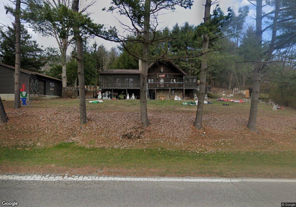
323 Highway 7 N Powhatan Point, OH 43942
Estimated Value: $179,000 - $278,162
3
Beds
2
Baths
2,184
Sq Ft
$101/Sq Ft
Est. Value
About This Home
This home is located at 323 Highway 7 N, Powhatan Point, OH 43942 and is currently estimated at $220,541, approximately $100 per square foot. 323 Highway 7 N is a home located in Belmont County with nearby schools including Powhatan Elementary School, River Elementary School, and Beallsville High School.
Ownership History
Date
Name
Owned For
Owner Type
Purchase Details
Closed on
Aug 28, 2001
Sold by
Armann George William and Armann I
Bought by
Armann George William and Armann I
Current Estimated Value
Purchase Details
Closed on
Jun 11, 1997
Sold by
Fuchs Robert V and Fuchs Linda S
Bought by
Fuchs Robert and Fuchs Linda S
Purchase Details
Closed on
Aug 3, 1992
Sold by
Fuchs Robert V and Fuchs Linda S
Bought by
Fuchs Robert and Fuchs Linda S
Purchase Details
Closed on
Jan 1, 1986
Sold by
Chirpas Michael
Bought by
Chirpas Michael
Create a Home Valuation Report for This Property
The Home Valuation Report is an in-depth analysis detailing your home's value as well as a comparison with similar homes in the area
Home Values in the Area
Average Home Value in this Area
Purchase History
| Date | Buyer | Sale Price | Title Company |
|---|---|---|---|
| Armann George William | $108,000 | -- | |
| Fuchs Robert | -- | -- | |
| Fuchs Robert | $65,000 | -- | |
| Chirpas Michael | -- | -- |
Source: Public Records
Tax History Compared to Growth
Tax History
| Year | Tax Paid | Tax Assessment Tax Assessment Total Assessment is a certain percentage of the fair market value that is determined by local assessors to be the total taxable value of land and additions on the property. | Land | Improvement |
|---|---|---|---|---|
| 2024 | $2,875 | $81,230 | $6,900 | $74,330 |
| 2023 | $2,603 | $69,090 | $6,190 | $62,900 |
| 2022 | $2,600 | $69,090 | $6,192 | $62,898 |
| 2021 | $2,591 | $69,139 | $6,192 | $62,947 |
| 2020 | $2,386 | $60,120 | $5,380 | $54,740 |
| 2019 | $2,389 | $60,120 | $5,380 | $54,740 |
| 2018 | $2,423 | $60,120 | $5,380 | $54,740 |
| 2017 | $2,001 | $47,510 | $3,930 | $43,580 |
| 2016 | $1,888 | $47,510 | $3,930 | $43,580 |
| 2015 | $1,932 | $47,510 | $3,930 | $43,580 |
| 2014 | $1,665 | $43,200 | $3,580 | $39,620 |
| 2013 | $1,696 | $43,200 | $3,580 | $39,620 |
Source: Public Records
Map
Nearby Homes
- 315 Ohio 7
- 110 Cove Dr
- 0 Clark St
- 122 2nd St
- 122 3rd St
- 54885 Mount Victory Rd
- 0 Mount Victory Rd
- 54360 Mount Victory Rd
- 252 Kansas Ridge Ln
- 4390 Taylors Ridge Rd
- 9 Gypsy Dr
- 354 Clearview Heights Dr
- 21 Tharon Ln
- 53 Blue Jay Ln
- 2 Roberts Ridge Saint Joseph Rd
- 135 Windy Hollow Rd
- 49 Lavender Ln
- 85 Virginia Oaks Dr
- 56835 Stephens Rd
- 4796 Big Grave Creek Rd
- 331 Highway 7 N
- 102 Sherrie Ln
- 104 Sherrie Ln
- 106 Sherrie Ln
- 100 Sherrie Ln
- 329 Ohio 7
- 121 Orchard Ln
- 321 Highway 7 N
- 328 Highway 7 N
- 324 Highway 7 N
- 317 Highway 7 N
- 334 Highway 7 N
- 103 Sherrie Ln
- 115 Orchard Ln
- 315 Highway 7 N
- 318 Highway 7 N
- 318 Highway 7 N
- 314 Highway 7 N
- 314 Highway 7 N
- 337 Highway 7 N