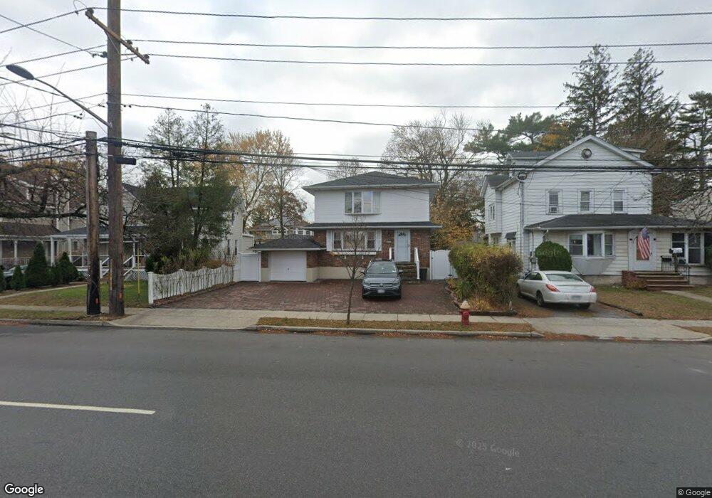
3230 Brower Ave Oceanside, NY 11572
Estimated Value: $812,000 - $853,385
4
Beds
2
Baths
2,200
Sq Ft
$378/Sq Ft
Est. Value
About This Home
This home is located at 3230 Brower Ave, Oceanside, NY 11572 and is currently estimated at $832,693, approximately $378 per square foot. 3230 Brower Ave is a home located in Nassau County with nearby schools including Oaks Elementary School - School 3, Oceanside Middle School, and Oceanside High School.
Ownership History
Date
Name
Owned For
Owner Type
Purchase Details
Closed on
Nov 8, 2013
Sold by
Oliner Elsie Warren and Fraud Rose
Bought by
Gu Lixia
Current Estimated Value
Home Financials for this Owner
Home Financials are based on the most recent Mortgage that was taken out on this home.
Original Mortgage
$290,000
Outstanding Balance
$73,919
Interest Rate
3.36%
Estimated Equity
$758,774
Create a Home Valuation Report for This Property
The Home Valuation Report is an in-depth analysis detailing your home's value as well as a comparison with similar homes in the area
Home Values in the Area
Average Home Value in this Area
Purchase History
| Date | Buyer | Sale Price | Title Company |
|---|---|---|---|
| Gu Lixia | $418,000 | -- |
Source: Public Records
Mortgage History
| Date | Status | Borrower | Loan Amount |
|---|---|---|---|
| Open | Gu Lixia | $290,000 |
Source: Public Records
Tax History Compared to Growth
Tax History
| Year | Tax Paid | Tax Assessment Tax Assessment Total Assessment is a certain percentage of the fair market value that is determined by local assessors to be the total taxable value of land and additions on the property. | Land | Improvement |
|---|---|---|---|---|
| 2025 | $13,890 | $536 | $240 | $296 |
| 2024 | $4,036 | $509 | $228 | $281 |
| 2023 | $12,237 | $536 | $240 | $296 |
| 2022 | $12,237 | $536 | $240 | $296 |
| 2021 | $16,178 | $518 | $232 | $286 |
| 2020 | $11,532 | $695 | $677 | $18 |
| 2019 | $10,567 | $745 | $681 | $64 |
| 2018 | $10,723 | $794 | $0 | $0 |
| 2017 | $7,740 | $918 | $726 | $192 |
| 2016 | $11,941 | $918 | $726 | $192 |
| 2015 | $4,013 | $918 | $726 | $192 |
| 2014 | $4,013 | $918 | $726 | $192 |
| 2013 | $3,731 | $918 | $726 | $192 |
Source: Public Records
Map
Nearby Homes
- 2941 Moreland Ave
- 25 Sunnybrook Dr E
- 613 Smith Place
- 31 Arthur St
- 653 Arthur St
- 647 Lincoln St
- 646 Lincoln St
- 2900 Yale Place
- 3354 Knight St
- 2929 Yale Place
- 2917 Yale Place
- 3487 Anchor Place
- 3066 Ann St
- 3483 Frederick St
- 719 Lincoln St
- 3004 Harbor St
- 710 Fishermans Rd
- 3432 Bayfield Blvd
- 3328 Woodward St
- 2810 1st Place
- 3224 Brower Ave
- 3234 Brower Ave
- 3218 Brower Ave
- 3244 Brower Ave
- 2911 Allon St
- 2925 Allon St
- 551 Fir Place
- 3210 Brower Ave
- 3229 Brower Ave
- 559 Fir Place
- 3254 Brower Ave
- 3227 Brower Ave
- 2886 Sunnybrook Dr E
- 3225 Brower Ave
- 571 Fir Place
- 3211 Brower Ave
- 3247 Brower Ave
- 3204 Brower Ave
- 540 Fir Place
- 3260 Brower Ave