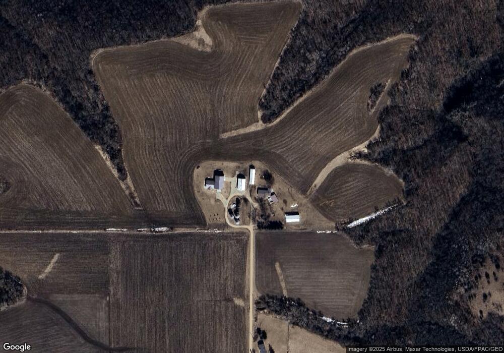
32328 582nd St Millville, MN 55957
Estimated Value: $466,000 - $545,000
3
Beds
2
Baths
1,953
Sq Ft
$262/Sq Ft
Est. Value
About This Home
This home is located at 32328 582nd St, Millville, MN 55957 and is currently estimated at $511,791, approximately $262 per square foot. 32328 582nd St is a home located in Wabasha County with nearby schools including Plainview-Elgin-Millville Elementary School (PK-3), Plainview-Elgin-Millville Elementary School (4-6), and Plainview-Elgin-Millville Junior High School.
Ownership History
Date
Name
Owned For
Owner Type
Purchase Details
Closed on
Jun 24, 2020
Sold by
Rankenburg Steven L and Rankenburg Lynn M
Bought by
Jacoby Ashlee M and Jacoby Jesse T
Current Estimated Value
Home Financials for this Owner
Home Financials are based on the most recent Mortgage that was taken out on this home.
Original Mortgage
$315,119
Outstanding Balance
$279,329
Interest Rate
3.2%
Mortgage Type
FHA
Estimated Equity
$232,462
Create a Home Valuation Report for This Property
The Home Valuation Report is an in-depth analysis detailing your home's value as well as a comparison with similar homes in the area
Home Values in the Area
Average Home Value in this Area
Purchase History
| Date | Buyer | Sale Price | Title Company |
|---|---|---|---|
| Jacoby Ashlee M | $326,000 | None Available |
Source: Public Records
Mortgage History
| Date | Status | Borrower | Loan Amount |
|---|---|---|---|
| Open | Jacoby Ashlee M | $315,119 |
Source: Public Records
Tax History Compared to Growth
Tax History
| Year | Tax Paid | Tax Assessment Tax Assessment Total Assessment is a certain percentage of the fair market value that is determined by local assessors to be the total taxable value of land and additions on the property. | Land | Improvement |
|---|---|---|---|---|
| 2025 | $3,228 | $469,200 | $77,800 | $391,400 |
| 2024 | $3,228 | $435,800 | $77,800 | $358,000 |
| 2023 | $3,110 | $417,800 | $77,800 | $340,000 |
| 2022 | $3,354 | $380,200 | $75,800 | $304,400 |
| 2021 | $2,502 | $374,800 | $75,800 | $299,000 |
| 2020 | $2,544 | $338,600 | $44,900 | $293,700 |
| 2019 | $1,786 | $341,000 | $44,900 | $296,100 |
| 2018 | $1,656 | $254,700 | $39,900 | $214,800 |
| 2017 | $1,426 | $256,700 | $39,900 | $216,800 |
| 2016 | $1,396 | $0 | $0 | $0 |
| 2015 | $1,396 | $0 | $0 | $0 |
| 2012 | $1,210 | $0 | $0 | $0 |
Source: Public Records
Map
Nearby Homes
- TBD 343rd Ave
- 0 Ave
- 61701 County Road 2
- 57722 351st Ave
- TBD 375th Ave
- XXXX 375th Ave
- 6831 247 Hwy NE
- 56060 375th Ave
- 135 5th Ave NW
- 66182 310th Ave
- 240 1st St SW
- xxxx (Parcel 3) White Bridge Rd NE
- xxxx (Parcel 2) White Bridge Rd NE
- xxx White Bridge Rd NE
- 655 1st St SE
- 675 1st St SE
- 105 10th St NW
- 56381 400th Ave
- 170 Fisherman Dr NW
- 0 Tbd White Bridge Rd NE Unit LotWP001
- 32329 582nd St
- 32207 S County Road 11
- XXX 593rd St
- 32362 S County Road 11
- 58225 County Road 23
- 32946 S County Road 11
- XXX County 11 Rd
- XXX County Road 11
- 58319 County Road 23
- 58366 County Road 23
- 57863 County Road 23
- 58453 County Road 23
- 33064 S County Road 11
- 58080 330th Ave
- 33098 S County Road 11
- TBD Tbd
- 32415 County Road 72
- 57706 330th Ave
- 31552 S County Road 11
- 31552 S County Road 11
