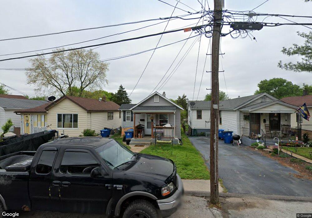
324 Forbes Ave Saint Louis, MO 63125
Lemay NeighborhoodEstimated Value: $82,412 - $140,000
2
Beds
1
Bath
574
Sq Ft
$182/Sq Ft
Est. Value
About This Home
This home is located at 324 Forbes Ave, Saint Louis, MO 63125 and is currently estimated at $104,603, approximately $182 per square foot. 324 Forbes Ave is a home located in St. Louis County with nearby schools including Hancock Place Elementary School, Hancock Place Middle School, and Hancock Place High School.
Ownership History
Date
Name
Owned For
Owner Type
Purchase Details
Closed on
Dec 31, 2014
Sold by
Buhlinger Steven L and Buhlinger Kimberly R
Bought by
Raleigh Michael J
Current Estimated Value
Purchase Details
Closed on
Mar 11, 1997
Sold by
Union Planters Bank
Bought by
Buhlinger Steven L and Buhlinger Kimberly R
Home Financials for this Owner
Home Financials are based on the most recent Mortgage that was taken out on this home.
Original Mortgage
$21,000
Interest Rate
7.89%
Create a Home Valuation Report for This Property
The Home Valuation Report is an in-depth analysis detailing your home's value as well as a comparison with similar homes in the area
Home Values in the Area
Average Home Value in this Area
Purchase History
| Date | Buyer | Sale Price | Title Company |
|---|---|---|---|
| Raleigh Michael J | $11,000 | Us Title | |
| Buhlinger Steven L | -- | -- |
Source: Public Records
Mortgage History
| Date | Status | Borrower | Loan Amount |
|---|---|---|---|
| Previous Owner | Buhlinger Steven L | $21,000 |
Source: Public Records
Tax History Compared to Growth
Tax History
| Year | Tax Paid | Tax Assessment Tax Assessment Total Assessment is a certain percentage of the fair market value that is determined by local assessors to be the total taxable value of land and additions on the property. | Land | Improvement |
|---|---|---|---|---|
| 2025 | $1,221 | $18,550 | $7,850 | $10,700 |
| 2024 | $1,221 | $15,600 | $5,230 | $10,370 |
| 2023 | $1,161 | $15,600 | $5,230 | $10,370 |
| 2022 | $1,059 | $12,880 | $4,520 | $8,360 |
| 2021 | $1,041 | $12,880 | $4,520 | $8,360 |
| 2020 | $808 | $9,470 | $5,230 | $4,240 |
| 2019 | $806 | $9,470 | $5,230 | $4,240 |
| 2018 | $386 | $3,800 | $3,800 | $0 |
| 2017 | $379 | $3,800 | $3,800 | $0 |
| 2016 | $701 | $7,010 | $2,790 | $4,220 |
| 2015 | $703 | $7,010 | $2,790 | $4,220 |
| 2014 | -- | $7,070 | $3,290 | $3,780 |
Source: Public Records
Map
Nearby Homes
- 9723 Gentry Ave
- 1408 Dammert Ave
- 320 Degenhardt Ave
- 311 Degenhardt Ave
- 9604 Gentry Ave
- 156 W Holden Ave
- 333 Rauhut Ave
- 331 Rauhut Ave
- 115 W Cartwright Ave
- 944 Regina Ave
- 1656 Herault Place
- 1660 Blue Ridge Dr Unit G
- 1677 Herault Place Unit B
- 1673 Herault Place Unit B
- 9704 S Broadway
- 1678 Blue Ridge Dr Unit A
- 112 Mann St
- 125 E Etta Ave
- 119 E Cartwright Ave
- 135 E Holden Ave
- 326 Forbes Ave
- 322 Forbes Ave
- 328 Forbes Ave
- 320 Forbes Ave
- 330 Forbes Ave
- 316 Forbes Ave
- 321323 Forbes Ave
- 333335 Forbes Ave
- 1416 Holden Ave
- 332 Forbes Ave
- 312 Forbes Ave
- 325 Forbes Ave
- 321 Forbes Ave
- 329 Forbes Ave
- 317 Forbes Ave
- 1428 Holden Ave
- 333 Forbes 335 Ave
- 9807 Gentry Ave
- 313 Forbes Ave
- 333 Forbes Ave