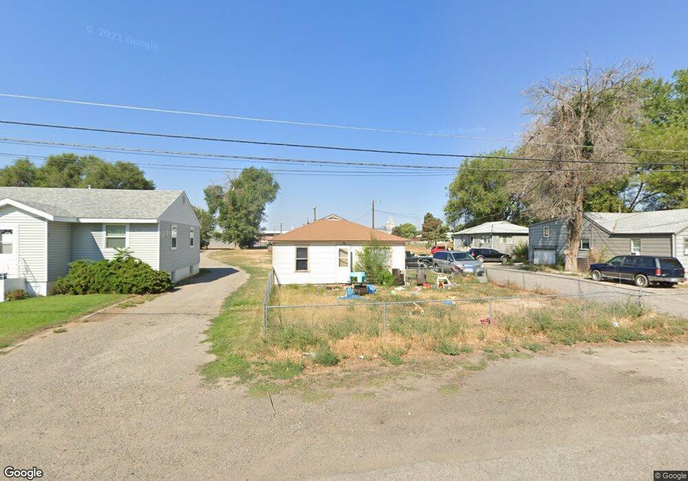
324 Foster Ln Billings, MT 59101
East Central Billings NeighborhoodEstimated Value: $232,000 - $325,000
3
Beds
3
Baths
2,568
Sq Ft
$115/Sq Ft
Est. Value
About This Home
This home is located at 324 Foster Ln, Billings, MT 59101 and is currently estimated at $294,909, approximately $114 per square foot. 324 Foster Ln is a home located in Yellowstone County with nearby schools including Washington School, Lewis & Clark Junior High School, and Billings West High School.
Ownership History
Date
Name
Owned For
Owner Type
Purchase Details
Closed on
Nov 10, 2020
Sold by
Broyles Daniel A
Bought by
Broyles Daniel A and Broyles Geraldine L
Current Estimated Value
Purchase Details
Closed on
Jan 5, 2006
Sold by
Roybal Jesse J and Roybal Jess J
Bought by
Broyles Daniel A
Purchase Details
Closed on
Dec 23, 2005
Sold by
Broyles Geri and Sherwood Geri
Bought by
Roybal Jess and Roybal Jess J
Create a Home Valuation Report for This Property
The Home Valuation Report is an in-depth analysis detailing your home's value as well as a comparison with similar homes in the area
Home Values in the Area
Average Home Value in this Area
Purchase History
| Date | Buyer | Sale Price | Title Company |
|---|---|---|---|
| Broyles Daniel A | -- | None Listed On Document | |
| Broyles Daniel A | -- | None Available | |
| Roybal Jess | -- | None Available |
Source: Public Records
Tax History Compared to Growth
Tax History
| Year | Tax Paid | Tax Assessment Tax Assessment Total Assessment is a certain percentage of the fair market value that is determined by local assessors to be the total taxable value of land and additions on the property. | Land | Improvement |
|---|---|---|---|---|
| 2025 | $3,663 | $453,591 | $49,461 | $404,130 |
| 2024 | $3,663 | $362,018 | $51,388 | $310,630 |
| 2023 | $3,784 | $362,018 | $51,388 | $310,630 |
| 2022 | $3,426 | $286,660 | $0 | $0 |
| 2021 | $3,359 | $286,660 | $0 | $0 |
| 2020 | $3,292 | $280,172 | $0 | $0 |
| 2019 | $3,147 | $280,172 | $0 | $0 |
| 2018 | $2,468 | $206,756 | $0 | $0 |
| 2017 | $2,397 | $206,756 | $0 | $0 |
| 2016 | $2,283 | $199,826 | $0 | $0 |
| 2015 | $2,232 | $199,826 | $0 | $0 |
| 2014 | $1,981 | $92,693 | $0 | $0 |
Source: Public Records
Map
Nearby Homes
- 231 S 12th St W
- 226 Moore Ln
- 141 S 12th St W
- 1304 Eldorado Dr
- 12 Macarthur Ave
- 1212 Concord Dr
- 1113 Lynn Ave
- 19 Patton Ave
- 1231 Saint Johns Ave
- 112 11th St W
- 1122 Howard Ave
- 1019 Miles Ave
- 927 Miles Ave
- 925 Miles Ave
- 605 Calhoun Ln
- 812 Miles Ave
- 4531 Phillip St
- 626 Cook Ave
- 305 17th St W
- 4429 Lux Ave