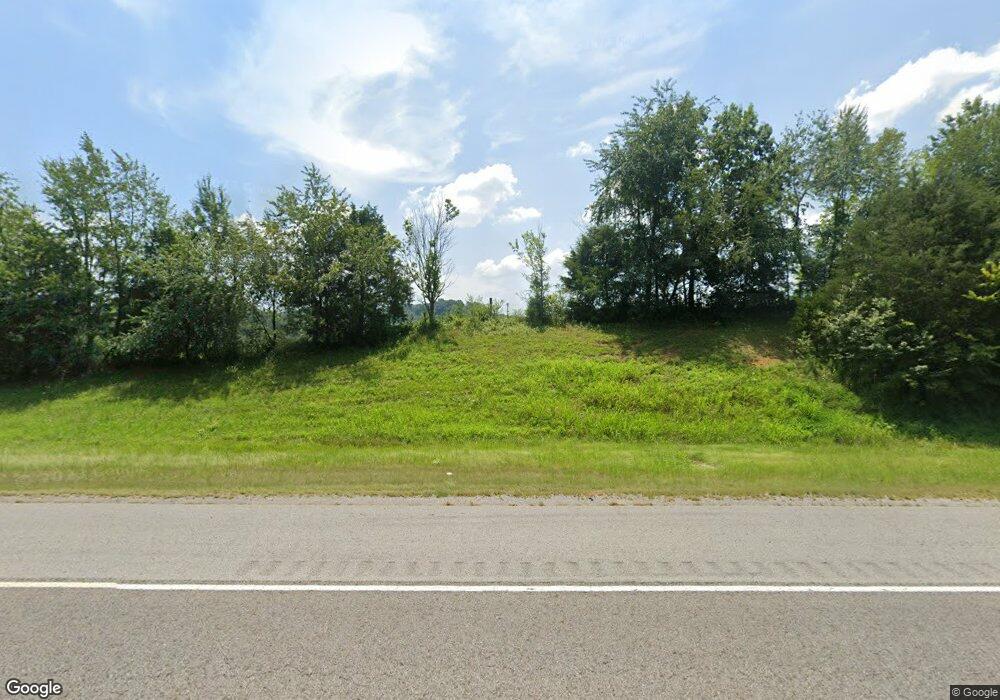
3241 Pulaski Hwy Frankewing, TN 38459
Estimated Value: $171,000 - $329,000
--
Bed
1
Bath
1,323
Sq Ft
$198/Sq Ft
Est. Value
About This Home
This home is located at 3241 Pulaski Hwy, Frankewing, TN 38459 and is currently estimated at $261,898, approximately $197 per square foot. 3241 Pulaski Hwy is a home located in Lincoln County with nearby schools including Unity School, Lincoln Central Academy, and Lincoln County High School.
Ownership History
Date
Name
Owned For
Owner Type
Purchase Details
Closed on
Jul 13, 2018
Sold by
Smith Steve Colton
Bought by
Smith Steve Colton and Smith Brandy Kaye
Current Estimated Value
Purchase Details
Closed on
Jun 12, 2018
Sold by
Bradford Phillip M and Bradford Keisha D
Bought by
Smith Steve Colton
Purchase Details
Closed on
Dec 18, 2017
Sold by
Braden Ronald H and Braden Paul R
Bought by
Smith Steve Colton and Smith Brandy Kaye
Home Financials for this Owner
Home Financials are based on the most recent Mortgage that was taken out on this home.
Original Mortgage
$73,600
Interest Rate
3.95%
Mortgage Type
New Conventional
Purchase Details
Closed on
Nov 23, 1957
Bought by
Braden Harold
Create a Home Valuation Report for This Property
The Home Valuation Report is an in-depth analysis detailing your home's value as well as a comparison with similar homes in the area
Home Values in the Area
Average Home Value in this Area
Purchase History
| Date | Buyer | Sale Price | Title Company |
|---|---|---|---|
| Smith Steve Colton | -- | None Available | |
| Smith Steve Colton | -- | None Available | |
| Smith Steve Colton | $45,000 | None Available | |
| Smith Steve Colton | $45,000 | None Available | |
| Smith Steve Colton | $78,000 | None Available | |
| Smith Steve Colton | $78,000 | None Available | |
| Braden Harold | $7,900 | -- | |
| Braden Harold | $7,900 | -- |
Source: Public Records
Mortgage History
| Date | Status | Borrower | Loan Amount |
|---|---|---|---|
| Previous Owner | Smith Steve Colton | $73,600 |
Source: Public Records
Tax History Compared to Growth
Tax History
| Year | Tax Paid | Tax Assessment Tax Assessment Total Assessment is a certain percentage of the fair market value that is determined by local assessors to be the total taxable value of land and additions on the property. | Land | Improvement |
|---|---|---|---|---|
| 2024 | $727 | $38,275 | $10,350 | $27,925 |
| 2023 | $695 | $24,100 | $6,325 | $17,775 |
| 2022 | $507 | $24,100 | $6,325 | $17,775 |
| 2021 | $507 | $24,100 | $6,325 | $17,775 |
| 2020 | $507 | $24,100 | $6,325 | $17,775 |
| 2019 | $571 | $27,175 | $6,325 | $20,850 |
| 2018 | $585 | $23,575 | $8,525 | $15,050 |
| 2017 | $552 | $23,575 | $8,525 | $15,050 |
| 2016 | $552 | $23,575 | $8,525 | $15,050 |
| 2015 | -- | $23,575 | $8,525 | $15,050 |
| 2014 | $462 | $23,575 | $8,525 | $15,050 |
Source: Public Records
Map
Nearby Homes
- 3165 Pulaski Hwy
- 0 Cathcart Rd
- 2994 Pulaski Hwy
- 0 U S Highway 64
- 0 Pulaski Hwy Unit RTC2800425
- 0 Pulaski Hwy Unit RTC2800435
- 0 Robinson Rd
- 201 Bugtussle Rd
- 30 King Hollow Rd
- 0 Interstate 65 Access Rd Unit RTC2803426
- 0 Interstate 65 Access Rd Unit RTC2803424
- 29 Roger Monk Rd
- 605 Red Oak Rd
- 87 Roger Monk Rd
- 305 Ingram Rd
- 5A Young Rd
- 6A Young Rd
- 6 Young Rd
- 124 Blue Smith Rd
- 0 McBurg Dellrose Rd Unit LotWP001 24895992
- 0 Scaggs Rd E Unit 2158947
- 61 McBurg Rd
- 6 Leatherwood Creek Rd
- 0 Chicken Creek Rd Unit 1864309
- 0 Chicken Creek Rd Unit 1663938
- 0 Chicken Creek Rd Unit RTC1247967
- 0 Chicken Creek Rd Unit RTC1247962
- 0 Chicken Creek Rd Unit 2281058
- 0 Chicken Creek Rd Unit 2154578
- 0 Chicken Creek Rd Unit 2055250
- 0 Chicken Creek Rd Unit 1108766
- 0 Chicken Creek Rd Unit 1997238
- 536 Chicken Creek Rd
- 1 McBurg Rd
- 537 Chicken Creek Rd
- 534 Chicken Creek Rd
- 8 McBurg Dellrose Rd
- 89 McBurg Rd
- 0 Hwy Unit 64 W 1317106
- 526 Chicken Creek Rd
