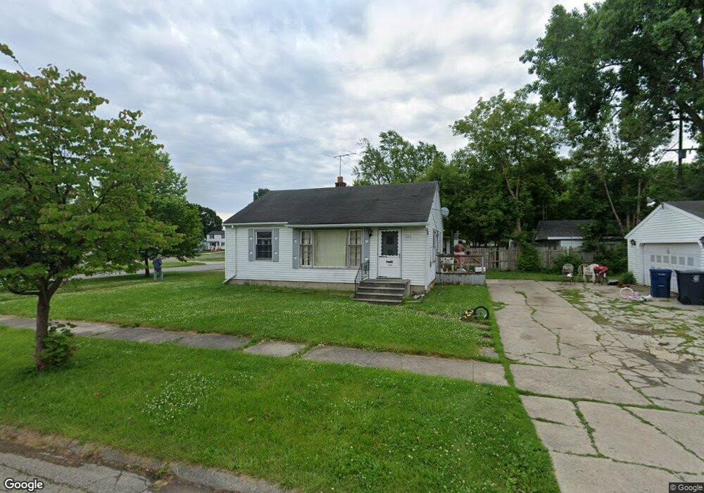
3242 Whittier Ave Flint, MI 48506
Potter Longway NeighborhoodEstimated Value: $66,000 - $80,000
2
Beds
1
Bath
896
Sq Ft
$85/Sq Ft
Est. Value
About This Home
This home is located at 3242 Whittier Ave, Flint, MI 48506 and is currently estimated at $75,982, approximately $84 per square foot. 3242 Whittier Ave is a home located in Genesee County with nearby schools including Potter School, Richfield Public School Academy, and Richfield Early Learning Center.
Ownership History
Date
Name
Owned For
Owner Type
Purchase Details
Closed on
Aug 26, 2009
Sold by
Genesee County Land Bank Authority
Bought by
Metcalfe William
Current Estimated Value
Purchase Details
Closed on
Aug 24, 2009
Sold by
Kildee Daniel T
Bought by
Genesee County Land Bank Authority
Purchase Details
Closed on
Nov 4, 2005
Sold by
Bailey Brian
Bought by
Hickey Clifton M
Purchase Details
Closed on
Feb 25, 2005
Sold by
Pumfrey Michelle D and Clements Michelle
Bought by
Bailey Brian
Home Financials for this Owner
Home Financials are based on the most recent Mortgage that was taken out on this home.
Original Mortgage
$68,000
Interest Rate
6.87%
Mortgage Type
Fannie Mae Freddie Mac
Create a Home Valuation Report for This Property
The Home Valuation Report is an in-depth analysis detailing your home's value as well as a comparison with similar homes in the area
Home Values in the Area
Average Home Value in this Area
Purchase History
| Date | Buyer | Sale Price | Title Company |
|---|---|---|---|
| Metcalfe William | $10,950 | None Available | |
| Genesee County Land Bank Authority | $3,393 | None Available | |
| Hickey Clifton M | $76,000 | Guaranty Title Company | |
| Bailey Brian | $68,000 | Garrow Title Agency |
Source: Public Records
Mortgage History
| Date | Status | Borrower | Loan Amount |
|---|---|---|---|
| Previous Owner | Bailey Brian | $68,000 |
Source: Public Records
Tax History Compared to Growth
Tax History
| Year | Tax Paid | Tax Assessment Tax Assessment Total Assessment is a certain percentage of the fair market value that is determined by local assessors to be the total taxable value of land and additions on the property. | Land | Improvement |
|---|---|---|---|---|
| 2025 | $1,083 | $32,700 | $0 | $0 |
| 2024 | $1,005 | $31,000 | $0 | $0 |
| 2023 | $983 | $23,500 | $0 | $0 |
| 2022 | $0 | $18,500 | $0 | $0 |
| 2021 | $996 | $17,500 | $0 | $0 |
| 2020 | $918 | $14,800 | $0 | $0 |
| 2019 | $898 | $11,200 | $0 | $0 |
| 2018 | $885 | $9,700 | $0 | $0 |
| 2017 | $862 | $0 | $0 | $0 |
| 2016 | $857 | $0 | $0 | $0 |
| 2015 | -- | $0 | $0 | $0 |
| 2014 | -- | $0 | $0 | $0 |
| 2012 | -- | $12,600 | $0 | $0 |
Source: Public Records
Map
Nearby Homes
- 3220 Woodrow Ave
- 3205 Holly Ave
- 3149 Whittier Ave
- 3232 Dale Ave
- 3514 Whittier Ave
- 3401 Davison Rd
- 3116 Beechwood Ave
- 3214 Maryland Ave
- 3617 Churchill Ave
- 3617 Davison Rd
- 3713 Risedorph Ave
- 3730 Holly Ave
- 2719 Branch Rd
- 3602 Dakota Ave
- 3421 Brewster St
- 3813 Holly Ave
- 3739 Marmion Ave
- 1414 Earlmoor Blvd
- 1324 Earlmoor Blvd
- 3740 Ivanhoe Ave
- 2211 N Averill Ave
- 3236 Whittier Ave
- 2207 N Averill Ave
- 3232 Whittier Ave
- 3316 Whittier Ave
- 2301 N Averill Ave
- 2201 N Averill Ave
- 3229 Bennett Ave
- 3235 Whittier Ave
- 3228 Whittier Ave
- 3302 Whittier Ave
- 3225 Bennett Ave
- 3223 Whittier Ave
- 3236 Woodrow Ave
- 3311 Bennett Ave
- 2117 N Averill Ave
- 3219 Bennett Ave
- 3216 Whittier Ave
- 3228 Woodrow Ave
- 3232 Bennett Ave