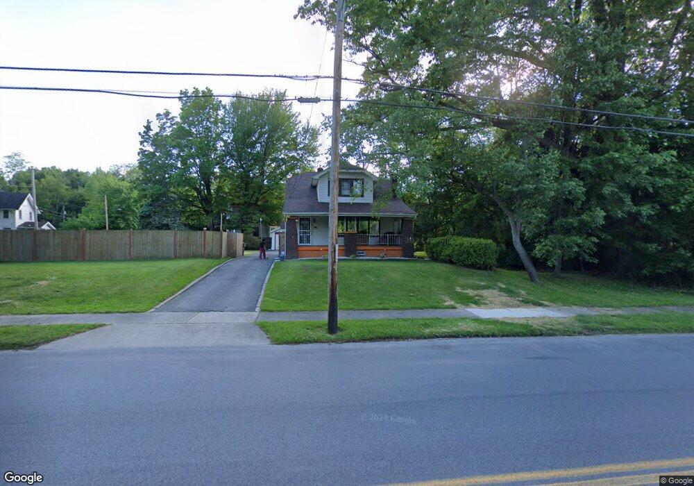
3244 Powers Way Youngstown, OH 44502
Buckeye Plat NeighborhoodEstimated Value: $71,418 - $102,000
3
Beds
2
Baths
1,734
Sq Ft
$49/Sq Ft
Est. Value
About This Home
This home is located at 3244 Powers Way, Youngstown, OH 44502 and is currently estimated at $84,605, approximately $48 per square foot. 3244 Powers Way is a home located in Mahoning County with nearby schools including Paul C. Bunn Elementary School, Chaney High School, and Youngstown Academy of Excellence.
Ownership History
Date
Name
Owned For
Owner Type
Purchase Details
Closed on
Jan 22, 2003
Sold by
Gary Cochran and Cochran Rebecca
Bought by
Valentin Waida M
Current Estimated Value
Home Financials for this Owner
Home Financials are based on the most recent Mortgage that was taken out on this home.
Original Mortgage
$32,000
Interest Rate
5.48%
Purchase Details
Closed on
Oct 8, 1993
Sold by
Klimko Grace E
Bought by
Klimko Grace E
Create a Home Valuation Report for This Property
The Home Valuation Report is an in-depth analysis detailing your home's value as well as a comparison with similar homes in the area
Home Values in the Area
Average Home Value in this Area
Purchase History
| Date | Buyer | Sale Price | Title Company |
|---|---|---|---|
| Valentin Waida M | $40,000 | -- | |
| Klimko Grace E | $39,700 | -- |
Source: Public Records
Mortgage History
| Date | Status | Borrower | Loan Amount |
|---|---|---|---|
| Closed | Valentin Waida M | $32,000 |
Source: Public Records
Tax History Compared to Growth
Tax History
| Year | Tax Paid | Tax Assessment Tax Assessment Total Assessment is a certain percentage of the fair market value that is determined by local assessors to be the total taxable value of land and additions on the property. | Land | Improvement |
|---|---|---|---|---|
| 2024 | $548 | $11,470 | $1,040 | $10,430 |
| 2023 | $544 | $11,470 | $1,040 | $10,430 |
| 2022 | $494 | $8,010 | $1,040 | $6,970 |
| 2021 | $494 | $8,010 | $1,040 | $6,970 |
| 2020 | $496 | $8,010 | $1,040 | $6,970 |
| 2019 | $505 | $7,280 | $950 | $6,330 |
| 2018 | $510 | $7,280 | $950 | $6,330 |
| 2017 | $507 | $7,280 | $950 | $6,330 |
| 2016 | $560 | $8,660 | $950 | $7,710 |
| 2015 | $548 | $8,660 | $950 | $7,710 |
| 2014 | $544 | $8,660 | $950 | $7,710 |
| 2013 | $537 | $8,660 | $950 | $7,710 |
Source: Public Records
Map
Nearby Homes
- 3337 Powers Way
- 3222 Sheridan Rd
- 3448 Neilson Ave
- 3509 Lenox Ave
- 2016 Pointview Ave
- 1313 Humbolt Ave
- 3551 Shirley Rd
- 2007 E Midlothian Blvd
- 1954 Everett Ave
- 0 Tampa Ave Unit 4420178
- 0 Crescent Dr Unit 5124984
- 0 Weston Ave
- 2510 E Midlothian Blvd
- 939 E Florida Ave
- 1928 Medford Ave
- 2562 Mount Vernon Ave
- 2577 E Midlothian Blvd
- 941 E Dewey Ave
- 2001 Brownlee Ave
- 1653 Brownlee Ave
- 3318 Neilson Ave
- 3322 Neilson Ave
- 3317 Neilson Ave
- 3247 Powers Way
- 3325 Neilson Ave
- 3312 Powers Way
- 3316 Powers Way
- 3333 Neilson Ave
- 3212 Powers Way
- 3319 Belden Ave
- 3339 Neilson Ave
- 3239 Sheridan Rd
- 3259 Sheridan Rd
- 3322 Powers Way
- 3323 Belden Ave
- 3263 Sheridan Rd
- 3210 Powers Way
- 3217 Sheridan Rd
- 3223 Sheridan Rd
- 3349 Neilson Ave