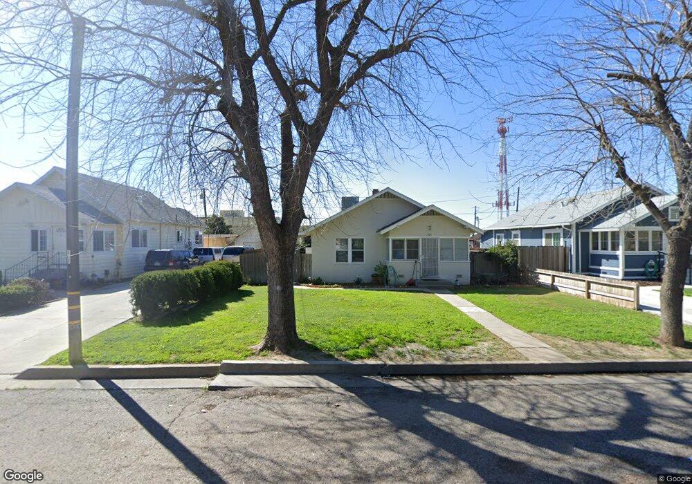
325 2nd St Gustine, CA 95322
Estimated Value: $123,000 - $274,000
2
Beds
1
Bath
896
Sq Ft
$241/Sq Ft
Est. Value
About This Home
This home is located at 325 2nd St, Gustine, CA 95322 and is currently estimated at $216,031, approximately $241 per square foot. 325 2nd St is a home located in Merced County with nearby schools including Gustine Elementary School, Gustine Middle School, and Gustine High School.
Ownership History
Date
Name
Owned For
Owner Type
Purchase Details
Closed on
Apr 3, 2015
Sold by
Mendonca Elaine Carol
Bought by
Mendonca Family Trust
Current Estimated Value
Purchase Details
Closed on
Oct 16, 2013
Sold by
Furtado Edward Joseph
Bought by
Mendonca Elaine Carol
Purchase Details
Closed on
Mar 26, 2013
Sold by
Furtado Gloria Marcella
Bought by
Furtado Gloria Marcella
Purchase Details
Closed on
Jun 14, 2007
Sold by
Furtado Gloria
Bought by
Furtado Gloria M
Purchase Details
Closed on
Mar 23, 2005
Sold by
Marcella Frank Antunes
Bought by
Furtado Gloria
Create a Home Valuation Report for This Property
The Home Valuation Report is an in-depth analysis detailing your home's value as well as a comparison with similar homes in the area
Home Values in the Area
Average Home Value in this Area
Purchase History
| Date | Buyer | Sale Price | Title Company |
|---|---|---|---|
| Mendonca Family Trust | -- | None Available | |
| Mendonca Elaine Carol | -- | None Available | |
| Furtado Gloria Marcella | -- | None Available | |
| Furtado Gloria M | -- | None Available | |
| Furtado Gloria | -- | -- |
Source: Public Records
Tax History
| Year | Tax Paid | Tax Assessment Tax Assessment Total Assessment is a certain percentage of the fair market value that is determined by local assessors to be the total taxable value of land and additions on the property. | Land | Improvement |
|---|---|---|---|---|
| 2025 | $602 | $42,615 | $9,671 | $32,944 |
| 2024 | $602 | $41,781 | $9,482 | $32,299 |
| 2023 | $590 | $40,963 | $9,297 | $31,666 |
| 2022 | $578 | $40,161 | $9,115 | $31,046 |
| 2021 | $570 | $39,375 | $8,937 | $30,438 |
| 2020 | $563 | $38,972 | $8,846 | $30,126 |
| 2019 | $554 | $38,209 | $8,673 | $29,536 |
| 2018 | $542 | $37,460 | $8,503 | $28,957 |
| 2017 | $550 | $36,727 | $8,337 | $28,390 |
| 2016 | $529 | $36,008 | $8,174 | $27,834 |
| 2015 | $499 | $35,468 | $8,052 | $27,416 |
| 2014 | -- | $34,774 | $7,895 | $26,879 |
Source: Public Records
Map
Nearby Homes
- 427 East Ave
- 131 5th St
- 712 5th Ave
- 381 Wallis Ave
- 726 South Ave
- 902 Waller St
- 674 Wallis Ave
- 2939 Grove Ave
- 649 Sycamore Ave
- 0 Arbor Pointe Ave
- 1265 Brentwood Ave
- 1400 Meredith Ave Unit 25
- 1400 Meredith Ave Unit 96
- 1460 Portsmouth Ln
- 1697 Via Milano
- 0 S Mills Rd
- 1716 Via Milano
- 527 Canal School Rd
- 0 Schmidt Rd
- 2295 Travis Ct
Your Personal Tour Guide
Ask me questions while you tour the home.