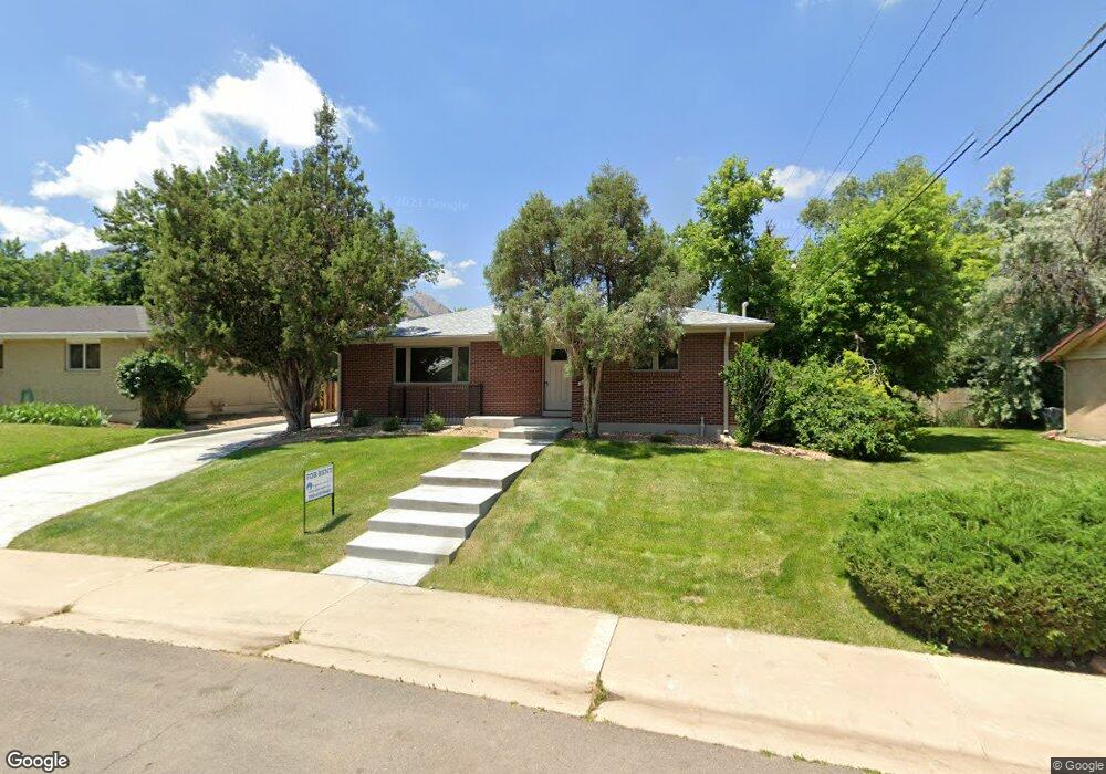
325 Bates Ave Boulder, CO 80305
South Boulder NeighborhoodEstimated Value: $973,000 - $1,504,000
4
Beds
3
Baths
2,724
Sq Ft
$425/Sq Ft
Est. Value
About This Home
This home is located at 325 Bates Ave, Boulder, CO 80305 and is currently estimated at $1,156,590, approximately $424 per square foot. 325 Bates Ave is a home located in Boulder County with nearby schools including Creekside Elementary School, Bear Creek Elementary School, and Southern Hills Middle School.
Ownership History
Date
Name
Owned For
Owner Type
Purchase Details
Closed on
Dec 10, 2009
Sold by
Walter Rebecca Jo and Estate Of Peggy Jo Garrett
Bought by
325 Bates Ave Llc
Current Estimated Value
Purchase Details
Closed on
Apr 22, 1991
Bought by
325 Bates Ave Llc
Purchase Details
Closed on
Jan 15, 1988
Bought by
325 Bates Ave Llc
Purchase Details
Closed on
Aug 11, 1980
Bought by
325 Bates Ave Llc
Purchase Details
Closed on
Nov 21, 1975
Bought by
325 Bates Ave Llc
Create a Home Valuation Report for This Property
The Home Valuation Report is an in-depth analysis detailing your home's value as well as a comparison with similar homes in the area
Home Values in the Area
Average Home Value in this Area
Purchase History
| Date | Buyer | Sale Price | Title Company |
|---|---|---|---|
| 325 Bates Ave Llc | $350,000 | Htco | |
| 325 Bates Ave Llc | -- | -- | |
| 325 Bates Ave Llc | -- | -- | |
| 325 Bates Ave Llc | $81,900 | -- | |
| 325 Bates Ave Llc | $37,500 | -- |
Source: Public Records
Tax History
| Year | Tax Paid | Tax Assessment Tax Assessment Total Assessment is a certain percentage of the fair market value that is determined by local assessors to be the total taxable value of land and additions on the property. | Land | Improvement |
|---|---|---|---|---|
| 2025 | $6,500 | $75,731 | $59,381 | $16,350 |
| 2024 | $6,500 | $75,731 | $59,381 | $16,350 |
| 2023 | $6,385 | $73,064 | $68,146 | $8,603 |
| 2022 | $5,485 | $58,262 | $50,130 | $8,132 |
| 2021 | $5,234 | $59,939 | $51,573 | $8,366 |
| 2020 | $5,189 | $59,617 | $47,476 | $12,141 |
| 2019 | $5,110 | $59,617 | $47,476 | $12,141 |
| 2018 | $3,839 | $44,280 | $33,480 | $10,800 |
| 2017 | $3,719 | $56,166 | $37,014 | $19,152 |
| 2016 | $3,688 | $42,602 | $26,984 | $15,618 |
| 2015 | $3,492 | $30,646 | $12,736 | $17,910 |
| 2014 | $2,577 | $30,646 | $12,736 | $17,910 |
Source: Public Records
Map
Nearby Homes
- 3000 Dartmouth Ave
- 2955 Stanford Ave
- 2585 Kohler Dr
- 345 S 38th St
- 2235 Vassar Dr
- 3805 Martin Dr
- 210 S 39th St
- 450 S 41st St
- 2860 Table Mesa Dr
- 1965 Kohler Dr
- 725 S 45th St
- 245 Fair Place
- 1865 Kohler Dr
- 4453 Hamilton Ct
- 4595 Moorhead Ave
- 370 20th St
- 4445 Squires Cir
- 3210 Emerson Ave
- 3450 Emerson Ave
- 3490 Emerson Ave
Your Personal Tour Guide
Ask me questions while you tour the home.