Estimated Value: $261,681 - $300,000
3
Beds
2
Baths
1,760
Sq Ft
$160/Sq Ft
Est. Value
About This Home
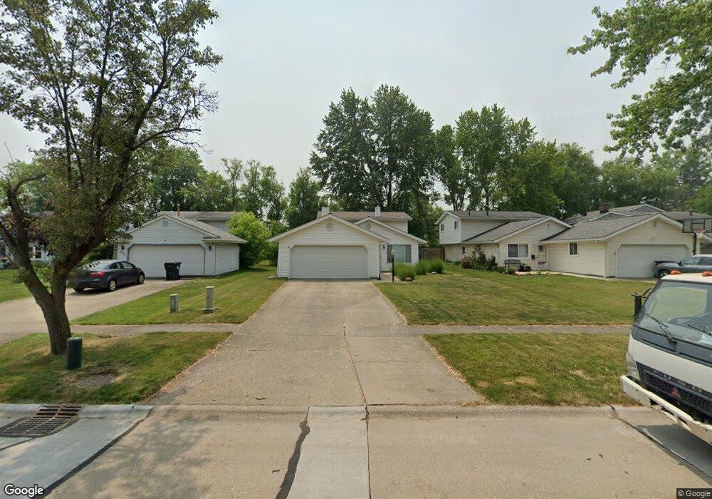
This home is located at 325 Butternut Ln, Berea, OH 44017 and is currently estimated at $282,170, approximately $160 per square foot. 325 Butternut Ln is a home located in Cuyahoga County with nearby schools including Grindstone Elementary School, Berea-Midpark Middle School, and Berea-Midpark High School.
Ownership History
Date
Name
Owned For
Owner Type
Purchase Details
Closed on
Feb 14, 2011
Sold by
Harley Robert E
Bought by
Mckeever Shawn P
Current Estimated Value
Home Financials for this Owner
Home Financials are based on the most recent Mortgage that was taken out on this home.
Original Mortgage
$123,775
Outstanding Balance
$84,576
Interest Rate
4.75%
Mortgage Type
FHA
Estimated Equity
$197,594
Purchase Details
Closed on
Feb 23, 2001
Sold by
Borowski Conrad L Borowski Betty J
Bought by
Harley Robert T
Home Financials for this Owner
Home Financials are based on the most recent Mortgage that was taken out on this home.
Original Mortgage
$89,900
Interest Rate
7.18%
Purchase Details
Closed on
Jul 16, 1979
Sold by
Borowski Conrad L and Borowski Betty J
Bought by
Conrad L Borowski
Purchase Details
Closed on
Jan 1, 1975
Bought by
Borowski Conrad L and Borowski Betty J
Create a Home Valuation Report for This Property
The Home Valuation Report is an in-depth analysis detailing your home's value as well as a comparison with similar homes in the area
Home Values in the Area
Average Home Value in this Area
Purchase History
| Date | Buyer | Sale Price | Title Company |
|---|---|---|---|
| Mckeever Shawn P | $129,000 | Patriot | |
| Harley Robert T | $126,900 | Ctic | |
| Conrad L Borowski | -- | -- | |
| Borowski Conrad L | -- | -- |
Source: Public Records
Mortgage History
| Date | Status | Borrower | Loan Amount |
|---|---|---|---|
| Open | Mckeever Shawn P | $123,775 | |
| Previous Owner | Harley Robert T | $89,900 |
Source: Public Records
Tax History Compared to Growth
Tax History
| Year | Tax Paid | Tax Assessment Tax Assessment Total Assessment is a certain percentage of the fair market value that is determined by local assessors to be the total taxable value of land and additions on the property. | Land | Improvement |
|---|---|---|---|---|
| 2024 | $4,272 | $73,780 | $11,305 | $62,475 |
| 2023 | $3,974 | $57,540 | $10,080 | $47,460 |
| 2022 | $3,949 | $57,540 | $10,080 | $47,460 |
| 2021 | $3,915 | $57,540 | $10,080 | $47,460 |
| 2020 | $3,740 | $48,760 | $8,540 | $40,220 |
| 2019 | $3,640 | $139,300 | $24,400 | $114,900 |
| 2018 | $3,410 | $48,760 | $8,540 | $40,220 |
| 2017 | $3,433 | $42,910 | $7,280 | $35,630 |
| 2016 | $3,408 | $42,910 | $7,280 | $35,630 |
| 2015 | $3,389 | $42,910 | $7,280 | $35,630 |
| 2014 | $3,389 | $45,160 | $7,670 | $37,490 |
Source: Public Records
Map
Nearby Homes
- 361 Chestnut Dr
- 351 Lombardy Dr
- 75 Sunset Dr
- 109 Marble Ct
- 100 River Rock Way
- 243 Edgewood Dr
- 228 Stone Ridge Way
- 136 River Rock Way Unit D
- 260 Stone Ridge Way
- 154 Lee Rd
- 35 W 5th Ave
- 28 Crocker St
- 19 Baker St
- 396 Crossbrook Dr
- 483 Front St
- 47 Prospect St
- 7587 Lewis Rd
- 8757 Roberts Ct Unit 25C
- 344 Girard Dr
- 412 Wyleswood Dr
- 319 Butternut Ln
- 331 Butternut Ln
- 335 Butternut Ln
- 315 Butternut Ln
- 341 Butternut Ln
- 309 Butternut Ln
- 345 Butternut Ln
- 305 Butternut Ln
- 324 Butternut Ln
- 320 Butternut Ln
- 330 Butternut Ln
- 349 Butternut Ln
- 299 Butternut Ln
- 314 Butternut Ln
- 334 Butternut Ln
- 310 Butternut Ln
- 340 Butternut Ln
- 295 Butternut Ln
- 357 Butternut Ln
- 304 Butternut Ln