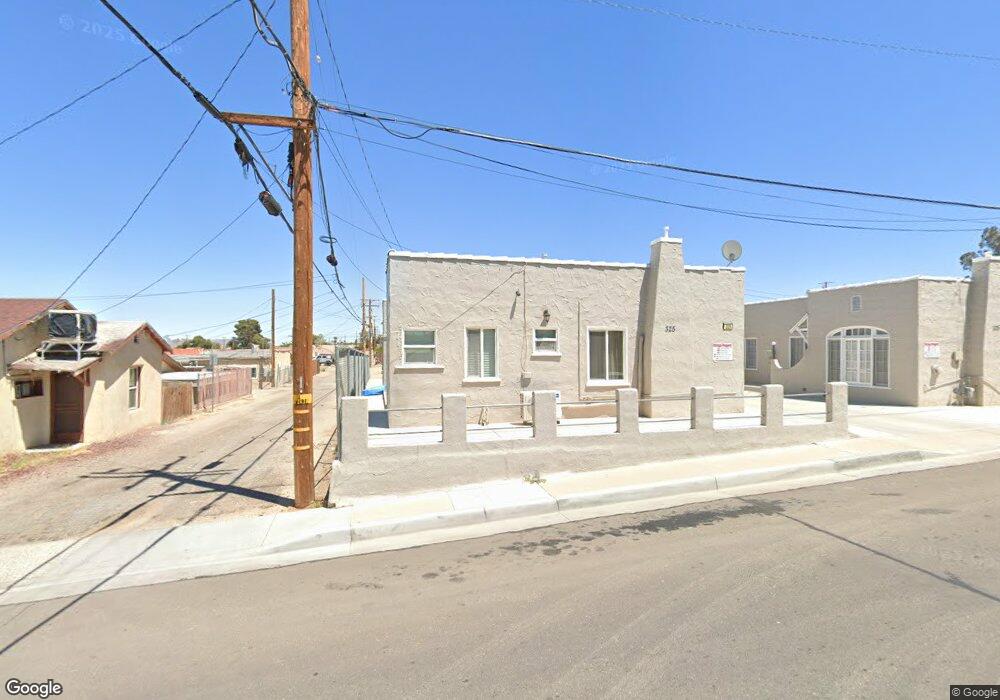
325 S 1st Ave Barstow, CA 92311
Estimated Value: $194,379 - $461,000
1
Bed
4
Baths
2,406
Sq Ft
$133/Sq Ft
Est. Value
About This Home
This home is located at 325 S 1st Ave, Barstow, CA 92311 and is currently estimated at $319,345, approximately $132 per square foot. 325 S 1st Ave is a home located in San Bernardino County with nearby schools including Barstow Junior High School, Barstow High School, and Mojave River Academy - Silver Mountain.
Ownership History
Date
Name
Owned For
Owner Type
Purchase Details
Closed on
Sep 26, 2018
Sold by
Thabet Sam A
Bought by
The Dirwish Vega Family Revocable Living
Current Estimated Value
Purchase Details
Closed on
Jun 6, 2017
Sold by
Thabet Sam A and Dirwish Vega Family Revocable
Bought by
Thabet Sam A
Home Financials for this Owner
Home Financials are based on the most recent Mortgage that was taken out on this home.
Original Mortgage
$106,500
Interest Rate
3.88%
Mortgage Type
New Conventional
Purchase Details
Closed on
Apr 30, 2010
Sold by
Thabet Sam A and The Earthling Family Revocable
Bought by
The Dirwish Vega Family Revocable Living
Purchase Details
Closed on
Jun 1, 2009
Sold by
Thabet Trustee Sam A and The Earthling Family Revocable
Bought by
The Earthling Family Revocable Living Tr
Home Financials for this Owner
Home Financials are based on the most recent Mortgage that was taken out on this home.
Original Mortgage
$98,000
Interest Rate
4.82%
Mortgage Type
Seller Take Back
Purchase Details
Closed on
Apr 3, 2009
Sold by
Sheridan Carol P and The 1St Street Trust
Bought by
Thabet Sam and The Earthling Family Revocable
Home Financials for this Owner
Home Financials are based on the most recent Mortgage that was taken out on this home.
Original Mortgage
$98,000
Interest Rate
4.82%
Mortgage Type
Seller Take Back
Purchase Details
Closed on
Mar 22, 2006
Sold by
Duke Phillip Allan
Bought by
Sheridan Carol P and 1St Street Trust
Purchase Details
Closed on
May 7, 1999
Sold by
Gold Hyman And Edith L Tr and Gold Family Trust
Bought by
Duke Phillip Allan
Home Financials for this Owner
Home Financials are based on the most recent Mortgage that was taken out on this home.
Original Mortgage
$40,000
Interest Rate
6.86%
Mortgage Type
Seller Take Back
Purchase Details
Closed on
Sep 18, 1997
Sold by
Smith Gordon Earl and Gold Hyman
Bought by
Gold Hyman and Gold Edith L
Create a Home Valuation Report for This Property
The Home Valuation Report is an in-depth analysis detailing your home's value as well as a comparison with similar homes in the area
Home Values in the Area
Average Home Value in this Area
Purchase History
| Date | Buyer | Sale Price | Title Company |
|---|---|---|---|
| The Dirwish Vega Family Revocable Living | -- | None Available | |
| Thabet Sam A | -- | First American Title Ins Co | |
| Thabet Sam A | -- | First American Title Ins Co | |
| The Dirwish Vega Family Revocable Living | -- | None Available | |
| The Earthling Family Revocable Living Tr | -- | None Available | |
| Thabet Sam | -- | Fidelity National Title | |
| Sheridan Carol P | $130,000 | First American | |
| Duke Phillip Allan | $40,000 | -- | |
| Gold Hyman | $50,000 | First American Title Ins Co |
Source: Public Records
Mortgage History
| Date | Status | Borrower | Loan Amount |
|---|---|---|---|
| Previous Owner | Thabet Sam A | $106,500 | |
| Previous Owner | Thabet Sam | $98,000 | |
| Previous Owner | Duke Phillip Allan | $40,000 |
Source: Public Records
Tax History Compared to Growth
Tax History
| Year | Tax Paid | Tax Assessment Tax Assessment Total Assessment is a certain percentage of the fair market value that is determined by local assessors to be the total taxable value of land and additions on the property. | Land | Improvement |
|---|---|---|---|---|
| 2025 | $1,897 | $168,620 | $40,999 | $127,621 |
| 2024 | $1,897 | $165,314 | $40,195 | $125,119 |
| 2023 | $1,857 | $162,073 | $39,407 | $122,666 |
| 2022 | $1,849 | $158,895 | $38,634 | $120,261 |
| 2021 | $1,796 | $155,779 | $37,876 | $117,903 |
| 2020 | $1,799 | $154,182 | $37,488 | $116,694 |
| 2019 | $1,704 | $151,159 | $36,753 | $114,406 |
| 2018 | $1,788 | $148,195 | $36,032 | $112,163 |
| 2017 | $1,617 | $145,289 | $35,325 | $109,964 |
| 2016 | $1,598 | $142,440 | $34,632 | $107,808 |
| 2015 | $1,565 | $140,301 | $34,112 | $106,189 |
| 2014 | $1,554 | $137,553 | $33,444 | $104,109 |
Source: Public Records
Map
Nearby Homes
- 101 W Buena Vista St
- 117 E Fredricks St
- 209 S 1st Ave
- 220 S 2nd Ave
- 100 E Buena Vista St
- 120 W Williams St
- 189 W Buena Vista St
- 112 E Main St
- 204 W Main St
- 401 W Fredricks St
- 518 W Fredricks St
- 0 Hoffman Unit SB25239296
- 0 Balsamo Rd Unit IV25131887
- 0 Balsamo Rd Unit HD24004501
- 0 Vacant Land Unit CV22056161
- 500 E Williams St
- 0 E Mountain View St Unit 250039856
- 0 Pioneer St
- 113 E White St
- 129 May Ave
- 321 S 1st Ave
- 327 S 1st Ave
- 100 E Fredricks St
- 104 E Fredricks St
- 108 E Fredricks St
- 100 1/2 E Fredricks St
- 112 E Fredricks St
- 109 W Buena Vista St
- 100 W Fredricks St
- 116 E Fredricks St
- 108 E Buena Vista St
- 117 W Buena Vista St
- 112 E Buena Vista St
- 120 E Fredricks St
- 116 E Buena Vista St
- 125 W Buena Vista St
- 322 S 2nd Ave
- 112 W Fredricks St Unit A&B
- 112 W Fredricks St
- 120 E Buena Vista St