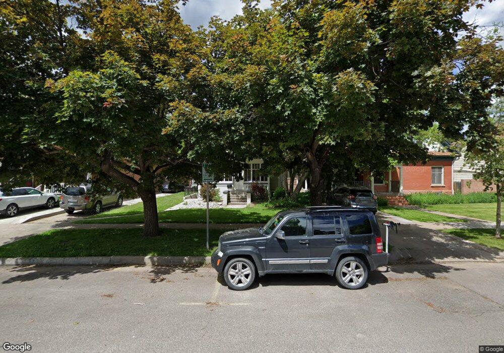
325 S Sherwood St Fort Collins, CO 80521
Old Town West NeighborhoodEstimated Value: $811,000 - $972,000
5
Beds
3
Baths
1,963
Sq Ft
$455/Sq Ft
Est. Value
About This Home
This home is located at 325 S Sherwood St, Fort Collins, CO 80521 and is currently estimated at $893,333, approximately $455 per square foot. 325 S Sherwood St is a home located in Larimer County with nearby schools including Dunn Elementary School, Lincoln Middle School, and Poudre High School.
Ownership History
Date
Name
Owned For
Owner Type
Purchase Details
Closed on
May 12, 2005
Sold by
Bowen Jane Elaine
Bought by
Bowen Mark R and Bowen Jane E
Current Estimated Value
Purchase Details
Closed on
Aug 19, 2004
Sold by
Bowen Mark Robert
Bought by
Bowen Jane Elaine
Purchase Details
Closed on
Apr 1, 1993
Sold by
Fisher Earl L
Bought by
Bowen Mark R
Purchase Details
Closed on
Apr 1, 1992
Sold by
Maxwell Donald H
Bought by
Fisher Earl L
Create a Home Valuation Report for This Property
The Home Valuation Report is an in-depth analysis detailing your home's value as well as a comparison with similar homes in the area
Home Values in the Area
Average Home Value in this Area
Purchase History
| Date | Buyer | Sale Price | Title Company |
|---|---|---|---|
| Bowen Mark R | -- | -- | |
| Bowen Jane Elaine | -- | -- | |
| Bowen Mark R | $122,000 | -- | |
| Fisher Earl L | $105,000 | -- |
Source: Public Records
Tax History Compared to Growth
Tax History
| Year | Tax Paid | Tax Assessment Tax Assessment Total Assessment is a certain percentage of the fair market value that is determined by local assessors to be the total taxable value of land and additions on the property. | Land | Improvement |
|---|---|---|---|---|
| 2025 | $4,339 | $48,910 | $6,030 | $42,880 |
| 2024 | $5,950 | $68,863 | $6,030 | $62,833 |
| 2022 | $3,355 | $35,530 | $6,120 | $29,410 |
| 2021 | $3,465 | $37,359 | $6,435 | $30,924 |
| 2020 | $5,056 | $54,033 | $6,435 | $47,598 |
| 2019 | $5,607 | $59,667 | $6,435 | $53,232 |
| 2018 | $3,616 | $39,672 | $6,480 | $33,192 |
| 2017 | $3,603 | $39,672 | $6,480 | $33,192 |
| 2016 | $2,067 | $22,638 | $7,164 | $15,474 |
| 2015 | $2,052 | $22,630 | $7,160 | $15,470 |
| 2014 | $1,972 | $21,620 | $4,780 | $16,840 |
Source: Public Records
Map
Nearby Homes
- 620 W Mulberry St
- 421 S Howes St Unit S401
- 415 S Howes St Unit N304
- 415 S Howes St Unit N908
- 415 S Howes St Unit N407
- 224 Canyon Ave Unit 410
- 224 Canyon Ave Unit 628
- 320 S Howes St
- 226 W Magnolia St
- 601 S Whitcomb St
- 401 W Mountain Ave Unit 301
- 210 W Magnolia St Unit 320
- 210 W Magnolia St Unit 360
- 530 Laporte Ave
- 200 S College Ave Unit 201
- 620 Armstrong Ave
- 233 N Meldrum St Unit 8
- 1100 W Mulberry St
- 302 N Meldrum St Unit 313
- 302 N Meldrum St Unit 304
- 327 S Sherwood St Unit 327
- 329 S Sherwood St
- 510 W Magnolia St
- 321 S Sherwood St
- 317 S Sherwood St
- 508 W Magnolia St
- 512 W Magnolia St
- 315 S Sherwood St
- 516 W Magnolia St
- 333 Canyon Ave
- 309 S Sherwood St
- 522 W Magnolia St
- 318 S Sherwood St
- 307 S Sherwood St
- 524 W Magnolia St
- 314 S Sherwood St
- 318 S Whitcomb St
- 327 Canyon Ave
- 301 S Sherwood St
- 310 S Sherwood St