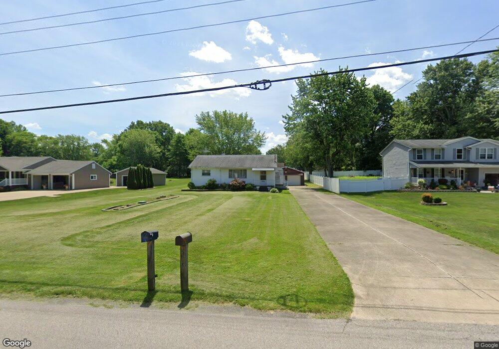
3254 Oser Rd Norton, OH 44203
Estimated Value: $181,000 - $237,000
3
Beds
2
Baths
1,276
Sq Ft
$166/Sq Ft
Est. Value
About This Home
This home is located at 3254 Oser Rd, Norton, OH 44203 and is currently estimated at $211,986, approximately $166 per square foot. 3254 Oser Rd is a home located in Summit County with nearby schools including Norton Primary Elementary School, Norton Middle School, and Norton High School.
Ownership History
Date
Name
Owned For
Owner Type
Purchase Details
Closed on
Jul 19, 2024
Sold by
Baker Maggie Ann
Bought by
Bozak Brett
Current Estimated Value
Home Financials for this Owner
Home Financials are based on the most recent Mortgage that was taken out on this home.
Original Mortgage
$114,000
Outstanding Balance
$112,638
Interest Rate
6.99%
Mortgage Type
New Conventional
Estimated Equity
$99,348
Create a Home Valuation Report for This Property
The Home Valuation Report is an in-depth analysis detailing your home's value as well as a comparison with similar homes in the area
Home Values in the Area
Average Home Value in this Area
Purchase History
| Date | Buyer | Sale Price | Title Company |
|---|---|---|---|
| Bozak Brett | $165,000 | None Listed On Document |
Source: Public Records
Mortgage History
| Date | Status | Borrower | Loan Amount |
|---|---|---|---|
| Open | Bozak Brett | $114,000 |
Source: Public Records
Tax History
| Year | Tax Paid | Tax Assessment Tax Assessment Total Assessment is a certain percentage of the fair market value that is determined by local assessors to be the total taxable value of land and additions on the property. | Land | Improvement |
|---|---|---|---|---|
| 2024 | $1,853 | $54,306 | $12,040 | $42,266 |
| 2023 | $1,853 | $54,306 | $12,040 | $42,266 |
| 2022 | $1,745 | $43,656 | $9,555 | $34,101 |
| 2021 | $1,754 | $43,656 | $9,555 | $34,101 |
| 2020 | $1,638 | $43,660 | $9,560 | $34,100 |
| 2019 | $1,455 | $35,960 | $8,690 | $27,270 |
| 2018 | $1,431 | $35,960 | $8,690 | $27,270 |
| 2017 | $1,455 | $35,960 | $8,690 | $27,270 |
| 2016 | $1,455 | $34,110 | $8,690 | $25,420 |
| 2015 | $1,455 | $34,110 | $8,690 | $25,420 |
| 2014 | $1,442 | $34,110 | $8,690 | $25,420 |
| 2013 | $1,558 | $36,460 | $8,690 | $27,770 |
Source: Public Records
Map
Nearby Homes
- 3713 Easton Rd
- 3320 Butternut Dr
- 2992 Greenridge Rd
- 2910 S/L 17 Willow Way
- 2891 S/L 10 Willow Way
- 3212 Longwood Dr
- 4001 S Cleveland Massillon Rd
- 2943 S/L 5 Willow Way
- 2971 S/L 2 Willow Way
- 3638 White Oak Dr
- 2902 S/L 16 Willow Way
- 3616 Everett Dr
- 3707 Creedmor Rd
- 3705 Creedmor Rd
- 3691 Lebbens Rd
- V/L 3837 S Cleveland Massillon Rd
- 1275 Norton Ave Unit H4
- 3726 Alumina Dr
- 3805 Mount Vernon Blvd
- 652 Parkway Blvd
Your Personal Tour Guide
Ask me questions while you tour the home.