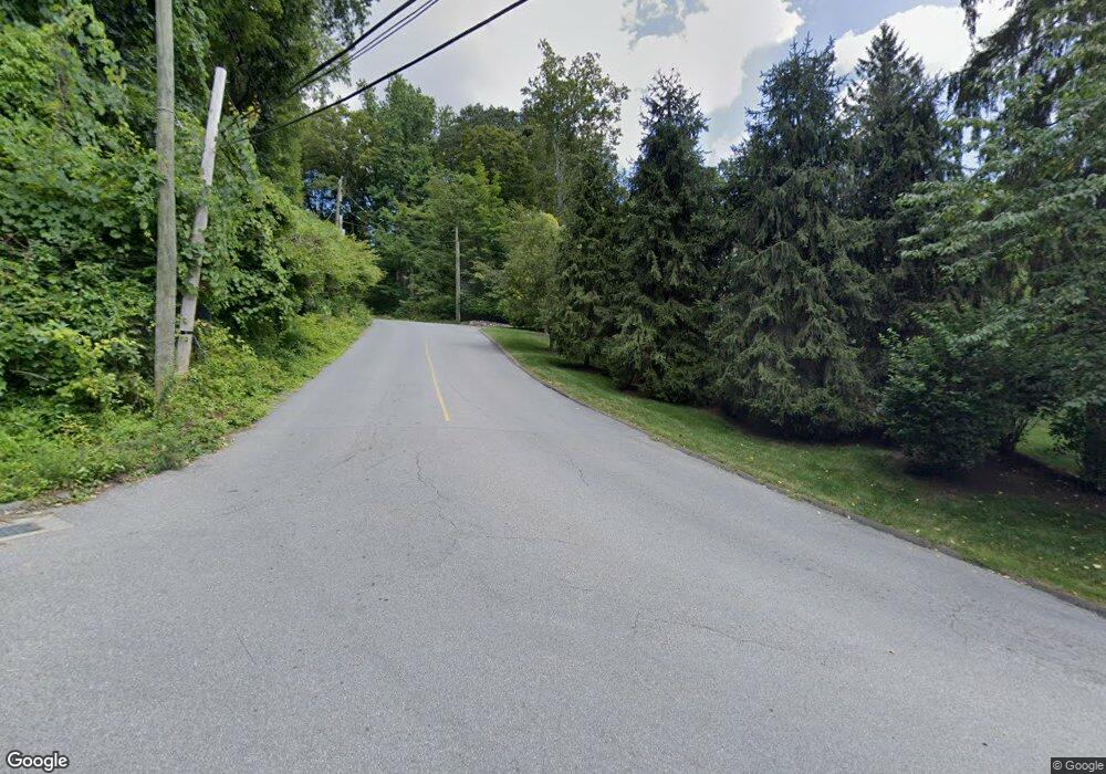
326 Olmstead Hill Rd Wilton, CT 06897
Estimated Value: $793,000 - $1,045,000
4
Beds
3
Baths
1,684
Sq Ft
$559/Sq Ft
Est. Value
About This Home
This home is located at 326 Olmstead Hill Rd, Wilton, CT 06897 and is currently estimated at $941,656, approximately $559 per square foot. 326 Olmstead Hill Rd is a home located in Fairfield County with nearby schools including Miller-Driscoll School, Cider Mill School, and Middlebrook School.
Ownership History
Date
Name
Owned For
Owner Type
Purchase Details
Closed on
Jan 11, 1984
Bought by
Koellmer W Richard and Koellmer Margaret A
Current Estimated Value
Create a Home Valuation Report for This Property
The Home Valuation Report is an in-depth analysis detailing your home's value as well as a comparison with similar homes in the area
Home Values in the Area
Average Home Value in this Area
Purchase History
| Date | Buyer | Sale Price | Title Company |
|---|---|---|---|
| Koellmer W Richard | -- | -- |
Source: Public Records
Mortgage History
| Date | Status | Borrower | Loan Amount |
|---|---|---|---|
| Open | Koellmer W Richard | $500,000 | |
| Closed | Koellmer W Richard | $249,900 | |
| Closed | Koellmer W Richard | $250,000 |
Source: Public Records
Tax History Compared to Growth
Tax History
| Year | Tax Paid | Tax Assessment Tax Assessment Total Assessment is a certain percentage of the fair market value that is determined by local assessors to be the total taxable value of land and additions on the property. | Land | Improvement |
|---|---|---|---|---|
| 2025 | $13,290 | $544,460 | $309,050 | $235,410 |
| 2024 | $13,034 | $544,460 | $309,050 | $235,410 |
| 2023 | $11,544 | $394,520 | $295,540 | $98,980 |
| 2022 | $11,137 | $394,520 | $295,540 | $98,980 |
| 2021 | $10,995 | $394,520 | $295,540 | $98,980 |
| 2020 | $10,834 | $394,520 | $295,540 | $98,980 |
| 2019 | $11,260 | $394,520 | $295,540 | $98,980 |
| 2018 | $11,595 | $411,320 | $310,800 | $100,520 |
| 2017 | $11,422 | $411,320 | $310,800 | $100,520 |
| 2016 | $11,245 | $411,320 | $310,800 | $100,520 |
| 2015 | $11,036 | $411,320 | $310,800 | $100,520 |
| 2014 | $10,904 | $411,320 | $310,800 | $100,520 |
Source: Public Records
Map
Nearby Homes
- 33 Cannon Rd
- 112 Middlebrook Farm Rd
- 38 Honey Hill Rd
- 30 Black Alder Ln
- 33 Middlebrook Farm Rd
- 35 Branch Brook Rd
- 330 Ridgefield Rd
- 23 Wilson Rd
- 4 Trails End Rd
- 00 Old Mill Rd
- 25 Samuelson Rd
- 175 Mountain Rd
- 13 Indian Hill Rd
- 185 Sturges Ridge Rd
- 55 Liberty St
- 30 Coley Rd
- 335 Georgetown Rd
- 96 Georgetown Rd
- 15 Mountain View Dr
- 0 Old Mill Rd
- 322 Olmstead Hill Rd
- 324 Olmstead Hill Rd
- 325 Olmstead Hill Rd
- 4 Hulda Hill Rd
- 14 Hulda Hill Rd
- 315 Olmstead Hill Rd
- 323 Olmstead Hill Rd
- 341 Olmstead Hill Rd
- 25 Fairview Ln
- 304 Olmstead Hill Rd
- 39 Hulda Hill Rd
- 305 Olmstead Hill Rd
- 26 Hulda Hill Rd
- 20 Saunders Dr
- 24 Fairview Ln
- 321 Olmstead Hill Rd
- 19 Fairview Ln
- 317 Olmstead Hill Rd
- 372 Olmstead Hill Rd
- 295 Olmstead Hill Rd
