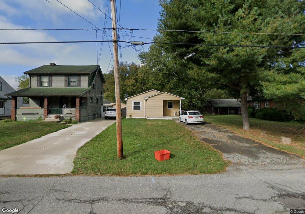
3262 Sheridan Rd Youngstown, OH 44502
Buckeye Plat NeighborhoodEstimated Value: $62,896 - $110,000
3
Beds
1
Bath
978
Sq Ft
$88/Sq Ft
Est. Value
About This Home
This home is located at 3262 Sheridan Rd, Youngstown, OH 44502 and is currently estimated at $85,724, approximately $87 per square foot. 3262 Sheridan Rd is a home located in Mahoning County with nearby schools including Paul C. Bunn Elementary School, Chaney High School, and Youngstown Academy of Excellence.
Ownership History
Date
Name
Owned For
Owner Type
Purchase Details
Closed on
Jun 10, 2022
Bought by
Skeens Ryan Joshua Dean
Current Estimated Value
Purchase Details
Closed on
Jun 7, 2022
Sold by
Ltd Investments Ltd
Bought by
Skeens Ryan Joshua Dean
Purchase Details
Closed on
Jun 8, 2001
Sold by
Demar Sherry A and Demar Sherry
Bought by
Ltd Investments Ltd
Purchase Details
Closed on
Oct 31, 1995
Bought by
Ltd Investments Ltd
Purchase Details
Closed on
Jul 1, 1984
Bought by
Demar Lillian
Create a Home Valuation Report for This Property
The Home Valuation Report is an in-depth analysis detailing your home's value as well as a comparison with similar homes in the area
Home Values in the Area
Average Home Value in this Area
Purchase History
| Date | Buyer | Sale Price | Title Company |
|---|---|---|---|
| Skeens Ryan Joshua Dean | -- | -- | |
| Skeens Ryan Joshua Dean | -- | None Listed On Document | |
| Skeens Ryan Joshua Dean | -- | None Listed On Document | |
| Ltd Investments Ltd | -- | -- | |
| Ltd Investments Ltd | -- | -- | |
| Demar Lillian | $23,500 | -- |
Source: Public Records
Tax History Compared to Growth
Tax History
| Year | Tax Paid | Tax Assessment Tax Assessment Total Assessment is a certain percentage of the fair market value that is determined by local assessors to be the total taxable value of land and additions on the property. | Land | Improvement |
|---|---|---|---|---|
| 2024 | $576 | $11,750 | $780 | $10,970 |
| 2023 | $557 | $11,750 | $780 | $10,970 |
| 2022 | $693 | $10,980 | $780 | $10,200 |
| 2021 | $693 | $10,980 | $780 | $10,200 |
| 2020 | $697 | $10,980 | $780 | $10,200 |
| 2019 | $708 | $9,980 | $710 | $9,270 |
| 2018 | $715 | $9,980 | $710 | $9,270 |
| 2017 | $693 | $9,980 | $710 | $9,270 |
| 2016 | $673 | $10,150 | $710 | $9,440 |
| 2015 | $660 | $10,150 | $710 | $9,440 |
| 2014 | $655 | $10,150 | $710 | $9,440 |
| 2013 | $646 | $10,150 | $710 | $9,440 |
Source: Public Records
Map
Nearby Homes
- 3222 Sheridan Rd
- 3337 Powers Way
- 3448 Neilson Ave
- 3509 Lenox Ave
- 2016 Pointview Ave
- 1313 Humbolt Ave
- 3551 Shirley Rd
- 2007 E Midlothian Blvd
- 0 Tampa Ave Unit 4420178
- 1954 Everett Ave
- 939 E Florida Ave
- 0 Weston Ave
- 0 Crescent Dr Unit 5124984
- 1928 Medford Ave
- 2510 E Midlothian Blvd
- 2562 Mount Vernon Ave
- 941 E Dewey Ave
- 919 E Dewey Ave
- 1653 Brownlee Ave
- 2001 Brownlee Ave
- 3268 Sheridan Rd
- 3256 Sheridan Rd
- 3274 Sheridan Rd
- 3211 Lenox Ave
- 3263 Sheridan Rd
- 3207 Lenox Ave
- 3259 Sheridan Rd
- 3267 Sheridan Rd
- 3221 Lenox Ave
- 3306 Sheridan Rd
- 3223 Lenox Ave
- 3301 Sheridan Rd
- 3242 Sheridan Rd
- 3187 Pine Hollow Dr
- 3307 Sheridan Rd
- 3231 Lenox Ave
- 3311 Sheridan Rd
- 3310 Sheridan Rd
- 3177 Pine Hollow Dr
- 3239 Sheridan Rd