Estimated Value: $1,201,000 - $1,784,000
4
Beds
4
Baths
2,889
Sq Ft
$486/Sq Ft
Est. Value
About This Home
This home is located at 32645 N Red Dell Loop, Athol, ID 83801 and is currently estimated at $1,403,323, approximately $485 per square foot. 32645 N Red Dell Loop is a home located in Kootenai County with nearby schools including Spirit Lake Elementary School, Timberlake Junior High School, and Timberlake Senior High School.
Ownership History
Date
Name
Owned For
Owner Type
Purchase Details
Closed on
Mar 16, 2021
Sold by
Dybrack John F and Dybrack Lesley
Bought by
Red Dell Loop Llc
Current Estimated Value
Purchase Details
Closed on
Apr 3, 2008
Sold by
Anderson Julie J
Bought by
Anderson Julie J and Anderson Richard
Home Financials for this Owner
Home Financials are based on the most recent Mortgage that was taken out on this home.
Original Mortgage
$172,000
Interest Rate
5.7%
Mortgage Type
New Conventional
Create a Home Valuation Report for This Property
The Home Valuation Report is an in-depth analysis detailing your home's value as well as a comparison with similar homes in the area
Purchase History
| Date | Buyer | Sale Price | Title Company |
|---|---|---|---|
| Red Dell Loop Llc | -- | Nextitle North Idaho | |
| Anderson Julie J | -- | -- |
Source: Public Records
Mortgage History
| Date | Status | Borrower | Loan Amount |
|---|---|---|---|
| Previous Owner | Anderson Julie J | $172,000 |
Source: Public Records
Tax History
| Year | Tax Paid | Tax Assessment Tax Assessment Total Assessment is a certain percentage of the fair market value that is determined by local assessors to be the total taxable value of land and additions on the property. | Land | Improvement |
|---|---|---|---|---|
| 2025 | $4,307 | $1,230,135 | $494,955 | $735,180 |
| 2024 | $3,803 | $985,333 | $455,813 | $529,520 |
| 2023 | $3,803 | $1,051,333 | $521,813 | $529,520 |
| 2022 | $4,098 | $1,041,333 | $511,813 | $529,520 |
| 2021 | $4,211 | $621,517 | $248,397 | $373,120 |
| 2020 | $3,962 | $497,805 | $180,985 | $316,820 |
| 2019 | $3,445 | $472,938 | $179,058 | $293,880 |
| 2018 | $3,465 | $429,937 | $162,777 | $267,160 |
| 2017 | $3,263 | $383,168 | $122,828 | $260,340 |
| 2016 | $2,839 | $357,103 | $111,263 | $245,840 |
| 2015 | $2,658 | $290,318 | $53,288 | $237,030 |
| 2013 | $2,410 | $287,695 | $76,155 | $211,540 |
Source: Public Records
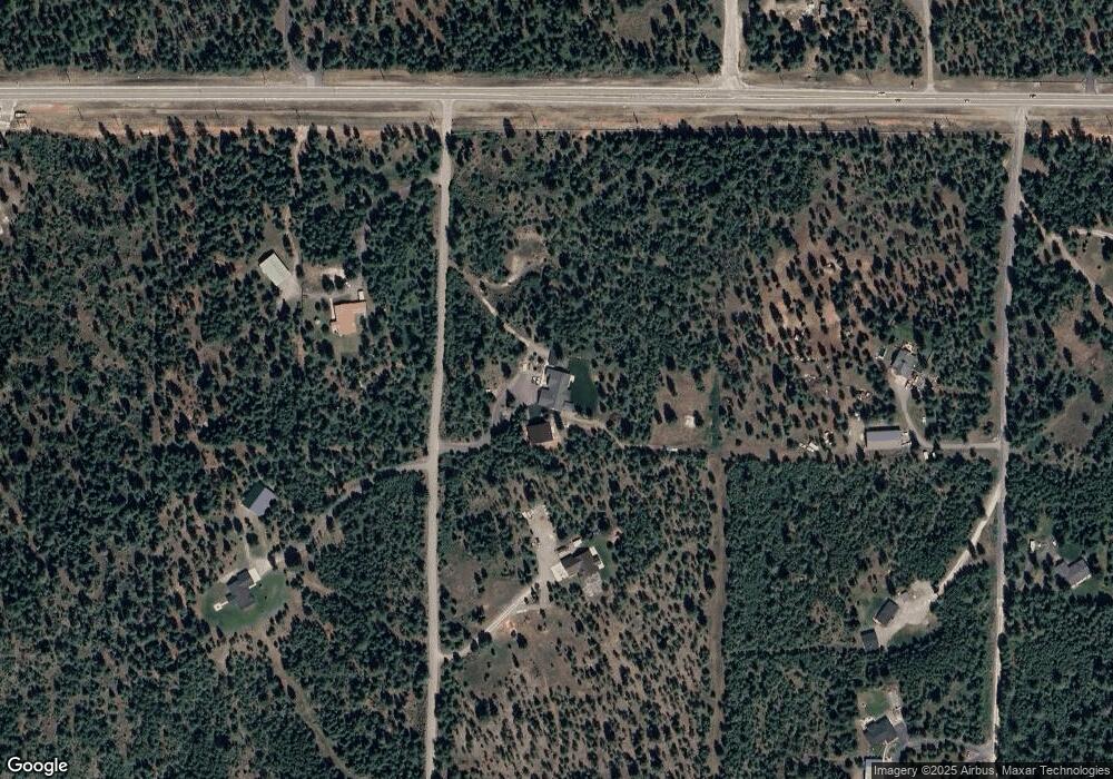
Map
Nearby Homes
- 32053 N Red Dell Loop
- 31480 N Riffle Rd
- L3B6 N Archer Rd
- L2 B6 N Archer Rd
- L4B5 N Archer Rd
- 29818 N Archer Rd
- 29831 N Archer Rd
- 1888 E Shoshone Ave
- 2128 E Shoshone Ave
- 1829 W Smoke Tree Ave
- NKA E War Eagle Ave
- 35430 N St Joe Dr
- 1107 E Yellow Pine Ave
- NNA W Smoke Tree Ave
- 27408 N Weir Rd
- 2238 E Blaine St
- 811 E Seasons Rd
- 30259 Sienna Loop
- 1971 E Yellow Pine Ave
- 300 E Seasons Rd
- 32645 N Red Dell Loop
- NNA Three Angles Acres Lot 3 Blk 1
- 32391 N Red Dell Loop
- 32672 N Red Dell Loop
- 0 Highway 54 Unit SAR27013669
- 0 Highway 54 Unit 9-6732
- 0 Highway 54 Unit 8-8237
- 0 Highway 54 Unit 11-10501
- 0 Highway 54 Unit 11-4698
- 0 Highway 54 Unit 10-5308
- 0 Highway 54 Unit 9-8524
- 0 Highway 54 Unit 9-8525
- 0 Highway 54 Unit 9-8523
- 0 Highway 54 Unit 9-66
- 0 Highway 54 Unit 6-14964
- 0 Highway 54 Unit 7-6930
- 0 Highway 54 Unit 7-3170
- 0 Highway 54 Unit 6-7978
- 0 Highway 54 Unit 5-10877
- 0 Highway 54 Unit 4-7600
Your Personal Tour Guide
Ask me questions while you tour the home.