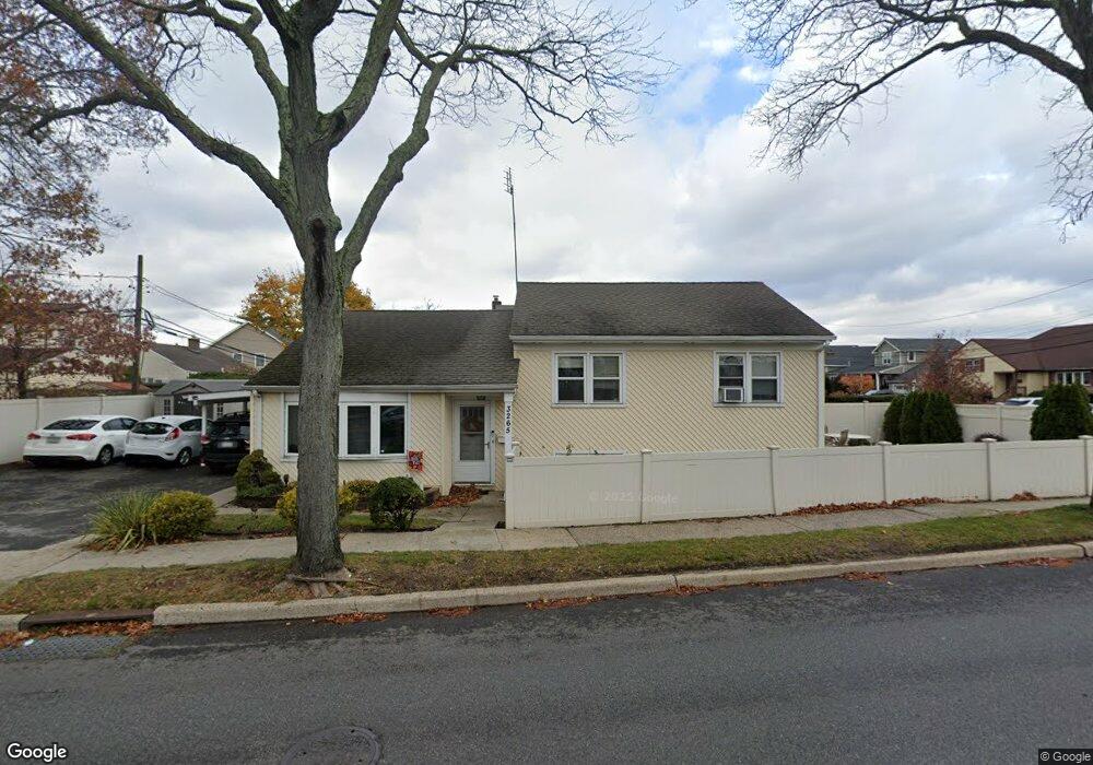
3265 Brower Ave Oceanside, NY 11572
Estimated Value: $607,756 - $636,000
--
Bed
2
Baths
1,230
Sq Ft
$506/Sq Ft
Est. Value
About This Home
This home is located at 3265 Brower Ave, Oceanside, NY 11572 and is currently estimated at $621,878, approximately $505 per square foot. 3265 Brower Ave is a home located in Nassau County with nearby schools including Oaks Elementary School - School 3, Oceanside Middle School, and Oceanside High School.
Ownership History
Date
Name
Owned For
Owner Type
Purchase Details
Closed on
Feb 7, 2017
Sold by
Batih Eugene and Batih Patricia
Bought by
Batih Eugene
Current Estimated Value
Purchase Details
Closed on
Aug 25, 1995
Sold by
Batih Eugene
Bought by
Batih Eugene and Batih Patricia
Home Financials for this Owner
Home Financials are based on the most recent Mortgage that was taken out on this home.
Original Mortgage
$2,997
Interest Rate
7.71%
Create a Home Valuation Report for This Property
The Home Valuation Report is an in-depth analysis detailing your home's value as well as a comparison with similar homes in the area
Home Values in the Area
Average Home Value in this Area
Purchase History
| Date | Buyer | Sale Price | Title Company |
|---|---|---|---|
| Batih Eugene | -- | None Available | |
| Batih Eugene | -- | -- |
Source: Public Records
Mortgage History
| Date | Status | Borrower | Loan Amount |
|---|---|---|---|
| Previous Owner | Batih Eugene | $2,997 |
Source: Public Records
Tax History Compared to Growth
Tax History
| Year | Tax Paid | Tax Assessment Tax Assessment Total Assessment is a certain percentage of the fair market value that is determined by local assessors to be the total taxable value of land and additions on the property. | Land | Improvement |
|---|---|---|---|---|
| 2025 | $10,936 | $429 | $151 | $278 |
| 2024 | $3,344 | $429 | $151 | $278 |
| 2023 | $9,019 | $429 | $151 | $278 |
| 2022 | $9,019 | $429 | $151 | $278 |
| 2021 | $11,390 | $415 | $146 | $269 |
| 2020 | $11,707 | $450 | $449 | $1 |
| 2019 | $6,401 | $483 | $461 | $22 |
| 2018 | $6,504 | $515 | $0 | $0 |
| 2017 | $4,118 | $547 | $465 | $82 |
| 2016 | $6,621 | $579 | $444 | $135 |
| 2015 | $2,671 | $611 | $426 | $185 |
| 2014 | $2,671 | $611 | $426 | $185 |
| 2013 | $2,605 | $641 | $447 | $194 |
Source: Public Records
Map
Nearby Homes
- 2941 Moreland Ave
- 25 Sunnybrook Dr E
- 31 Arthur St
- 613 Smith Place
- 653 Arthur St
- 647 Lincoln St
- 646 Lincoln St
- 2900 Yale Place
- 2929 Yale Place
- 2917 Yale Place
- 719 Lincoln St
- 3004 Harbor St
- 3487 Anchor Place
- 3066 Ann St
- 710 Fishermans Rd
- 2810 1st Place
- 3354 Knight St
- 3483 Frederick St
- 3051 Grand Ave
- 528 Carpenter Ave
- 2884 Alfred Ct
- 3247 Brower Ave
- 2885 Sunnybrook Dr E
- 2878 Alfred Ct
- 9 Sunnybrook Dr E
- 2883 Alfred Ct
- 2883 Alfred Ct
- 3266 Brower Ave
- 3266 Brower Ave Unit 2
- 2872 Alfred Ct
- 11 Sunnybrook Dr E
- 3260 Brower Ave
- 3254 Brower Ave
- 2886 Sunnybrook Dr E
- 2871 Alfred Ct
- 2887 Alfred Ct
- 3229 Brower Ave
- 2866 Alfred Ct
- 17 Sunnybrook Dr E
- 2880 Sunnybrook Dr E