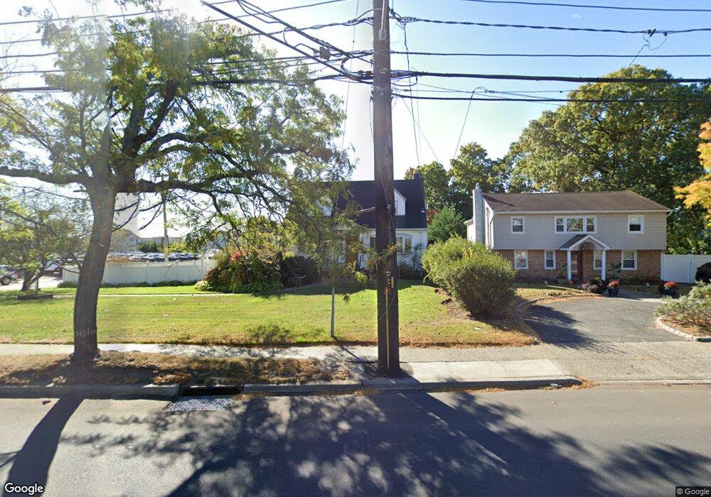
3266 Brower Ave Unit 2 Oceanside, NY 11572
Estimated Value: $843,494 - $955,000
3
Beds
1
Bath
2,198
Sq Ft
$409/Sq Ft
Est. Value
About This Home
This home is located at 3266 Brower Ave Unit 2, Oceanside, NY 11572 and is currently estimated at $899,247, approximately $409 per square foot. 3266 Brower Ave Unit 2 is a home located in Nassau County with nearby schools including Oaks Elementary School - School 3, Oceanside Middle School, and Oceanside High School.
Ownership History
Date
Name
Owned For
Owner Type
Purchase Details
Closed on
Dec 14, 2023
Sold by
Muller Elena and Diez Robert X
Bought by
3266 Brower Avenue Llc
Current Estimated Value
Purchase Details
Closed on
Aug 28, 2017
Sold by
Diez Isabella and Diez Felix
Bought by
Muller Elena and Diez Robert X
Create a Home Valuation Report for This Property
The Home Valuation Report is an in-depth analysis detailing your home's value as well as a comparison with similar homes in the area
Home Values in the Area
Average Home Value in this Area
Purchase History
| Date | Buyer | Sale Price | Title Company |
|---|---|---|---|
| 3266 Brower Avenue Llc | $895,000 | Redwood Abstract Inc | |
| 3266 Brower Avenue Llc | $895,000 | Redwood Abstract Inc | |
| 3266 Brower Avenue Llc | $895,000 | Redwood Abstract Inc | |
| Muller Elena | -- | None Available | |
| Muller Elena | -- | None Available | |
| Muller Elena | -- | None Available |
Source: Public Records
Tax History Compared to Growth
Tax History
| Year | Tax Paid | Tax Assessment Tax Assessment Total Assessment is a certain percentage of the fair market value that is determined by local assessors to be the total taxable value of land and additions on the property. | Land | Improvement |
|---|---|---|---|---|
| 2025 | $14,141 | $496 | $255 | $241 |
| 2024 | $3,420 | $488 | $251 | $237 |
| 2023 | $8,319 | $512 | $263 | $249 |
| 2022 | $8,319 | $512 | $263 | $249 |
| 2021 | $9,492 | $512 | $263 | $249 |
| 2020 | $6,151 | $585 | $560 | $25 |
| 2019 | $2,544 | $560 | $559 | $1 |
| 2018 | $3,321 | $581 | $0 | $0 |
| 2017 | $3,260 | $617 | $616 | $1 |
| 2016 | $5,926 | $654 | $592 | $62 |
| 2015 | $2,701 | $690 | $556 | $134 |
| 2014 | $2,701 | $690 | $556 | $134 |
| 2013 | $2,631 | $726 | $586 | $140 |
Source: Public Records
Map
Nearby Homes
- 2941 Moreland Ave
- 25 Sunnybrook Dr E
- 31 Arthur St
- 613 Smith Place
- 653 Arthur St
- 647 Lincoln St
- 646 Lincoln St
- 2900 Yale Place
- 2929 Yale Place
- 2917 Yale Place
- 719 Lincoln St
- 3004 Harbor St
- 3487 Anchor Place
- 3066 Ann St
- 710 Fishermans Rd
- 2810 1st Place
- 3354 Knight St
- 3483 Frederick St
- 3051 Grand Ave
- 528 Carpenter Ave
- 3266 Brower Ave
- 3260 Brower Ave
- 2918 Moreland Ave
- 3254 Brower Ave
- 3265 Brower Ave
- 577 Fir Place
- 577 Fir Place
- 2926 Moreland Ave
- 3247 Brower Ave
- 2884 Alfred Ct
- 571 Fir Place
- 3244 Brower Ave
- 2885 Sunnybrook Dr E
- 2883 Alfred Ct
- 2883 Alfred Ct
- 559 Fir Place
- 2878 Alfred Ct
- 2887 Alfred Ct
- 2931 Moreland Ave
- 9 Sunnybrook Dr E