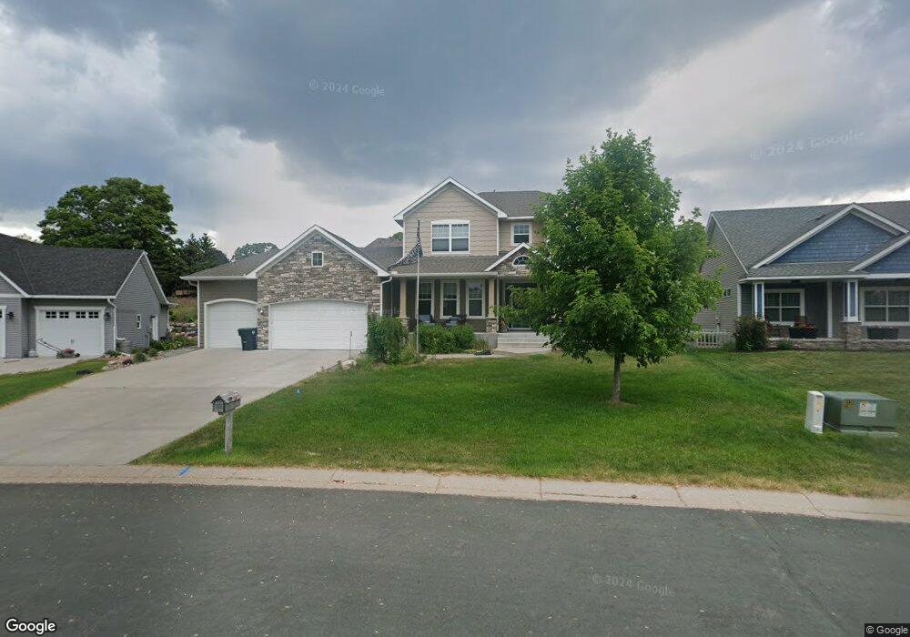
3267 Katie Ct Saint Paul, MN 55112
Estimated Value: $766,781 - $914,000
5
Beds
4
Baths
3,322
Sq Ft
$249/Sq Ft
Est. Value
About This Home
This home is located at 3267 Katie Ct, Saint Paul, MN 55112 and is currently estimated at $826,445, approximately $248 per square foot. 3267 Katie Ct is a home located in Ramsey County with nearby schools including Valentine Hills Elementary School, Highview Middle School, and Mounds View Senior High School.
Ownership History
Date
Name
Owned For
Owner Type
Purchase Details
Closed on
Apr 22, 2016
Bought by
Robinson Charles Charles
Current Estimated Value
Home Financials for this Owner
Home Financials are based on the most recent Mortgage that was taken out on this home.
Original Mortgage
$417,000
Interest Rate
3.56%
Purchase Details
Closed on
Jul 8, 2014
Home Financials for this Owner
Home Financials are based on the most recent Mortgage that was taken out on this home.
Original Mortgage
$139,000
Interest Rate
4.12%
Create a Home Valuation Report for This Property
The Home Valuation Report is an in-depth analysis detailing your home's value as well as a comparison with similar homes in the area
Home Values in the Area
Average Home Value in this Area
Purchase History
| Date | Buyer | Sale Price | Title Company |
|---|---|---|---|
| Robinson Charles Charles | $545,000 | -- | |
| Robinson Charles | $561,515 | Premier Title | |
| -- | $140,000 | -- |
Source: Public Records
Mortgage History
| Date | Status | Borrower | Loan Amount |
|---|---|---|---|
| Previous Owner | Robinson Charles | $417,000 | |
| Previous Owner | Robinson Charles Charles | $511,836 | |
| Previous Owner | -- | $139,000 |
Source: Public Records
Tax History Compared to Growth
Tax History
| Year | Tax Paid | Tax Assessment Tax Assessment Total Assessment is a certain percentage of the fair market value that is determined by local assessors to be the total taxable value of land and additions on the property. | Land | Improvement |
|---|---|---|---|---|
| 2025 | $8,778 | $761,000 | $96,100 | $664,900 |
| 2023 | $8,778 | $689,700 | $96,100 | $593,600 |
| 2022 | $7,904 | $715,000 | $96,100 | $618,900 |
| 2021 | $7,320 | $572,500 | $96,100 | $476,400 |
| 2020 | $8,432 | $549,400 | $96,100 | $453,300 |
| 2019 | $6,666 | $581,200 | $96,100 | $485,100 |
| 2018 | $7,552 | $504,700 | $96,100 | $408,600 |
| 2017 | $6,740 | $542,800 | $96,100 | $446,700 |
| 2016 | $2,708 | $0 | $0 | $0 |
| 2015 | $1,732 | $186,100 | $96,100 | $90,000 |
| 2014 | $1,778 | $0 | $0 | $0 |
Source: Public Records
Map
Nearby Homes
- 1999 Edgewater Ave
- 1960 Glenpaul Ave
- 1932 Glenpaul Ave
- 2 New Brighton Rd
- 4 New Brighton Rd
- 3072 Fairview Ave N
- 950 Cessna Dr
- 1802 Lydia Ave W
- 3 New Brighton Rd
- 1 New Brighton Rd
- 544 Riviera Dr
- 519 Continental Dr
- 2452 County Road D W
- 2446 County Road D W
- 4078 Foss Rd
- 3912 Foss Rd Unit 206
- 4074 Foss Rd
- 4004 Foss Rd Unit 101
- 2911 Troseth Rd
- 1688 Chatham Ave
- 3267 3267 Katie Ln
- 3259 Katie Ln
- 3286 Katie Ct
- 3286 3286 Katie-Court-
- 3286 3286 Katie Ct
- 3290 Katie Ct
- 3273 Katie Ln
- 3277 Katie Ln
- 3251 Katie Ln
- 3250 3250 Katie Ln
- 3250 Katie Ln
- 3252 Katie Ln
- 3287 Katie Ln
- 3280 Katie Ct
- 3258 Katie Ln
- 3258 3258 Katie Ln
- 3296 Katie Ct
- 3281 Katie Ct
- 3289 3289 Katie Ct
- 3285 Katie Ct