32671 Bluff Point Dr Cordova, MD 21625
Estimated Value: $382,000 - $764,986
--
Bed
2
Baths
1,344
Sq Ft
$394/Sq Ft
Est. Value
About This Home
This home is located at 32671 Bluff Point Dr, Cordova, MD 21625 and is currently estimated at $529,995, approximately $394 per square foot. 32671 Bluff Point Dr is a home located in Talbot County with nearby schools including Chapel District Elementary School, Easton Middle School, and Easton High School.
Ownership History
Date
Name
Owned For
Owner Type
Purchase Details
Closed on
Jun 30, 2008
Sold by
Mitchell James W
Bought by
Bluff Point Farm Llc
Current Estimated Value
Purchase Details
Closed on
May 1, 2008
Sold by
Mitchell James W
Bought by
Bluff Point Farm Llc
Purchase Details
Closed on
Aug 6, 2002
Sold by
Mitchell James W
Bought by
Mitchell James Wetal
Purchase Details
Closed on
Jan 13, 1995
Sold by
Mitchell James W and Mitchell Dorothy M
Bought by
Mitchell James W and Mitchell Dorothy M
Create a Home Valuation Report for This Property
The Home Valuation Report is an in-depth analysis detailing your home's value as well as a comparison with similar homes in the area
Home Values in the Area
Average Home Value in this Area
Purchase History
| Date | Buyer | Sale Price | Title Company |
|---|---|---|---|
| Bluff Point Farm Llc | -- | -- | |
| Bluff Point Farm Llc | -- | -- | |
| Mitchell James Wetal | -- | -- | |
| Mitchell James W | -- | -- |
Source: Public Records
Tax History Compared to Growth
Tax History
| Year | Tax Paid | Tax Assessment Tax Assessment Total Assessment is a certain percentage of the fair market value that is determined by local assessors to be the total taxable value of land and additions on the property. | Land | Improvement |
|---|---|---|---|---|
| 2025 | $2,981 | $339,633 | $0 | $0 |
| 2024 | $2,981 | $326,367 | $0 | $0 |
| 2023 | $2,715 | $313,100 | $187,500 | $125,600 |
| 2022 | $2,491 | $308,800 | $0 | $0 |
| 2021 | $2,380 | $304,500 | $0 | $0 |
| 2020 | $2,290 | $300,200 | $187,500 | $112,700 |
| 2019 | $2,233 | $292,533 | $0 | $0 |
| 2018 | $2,106 | $284,867 | $0 | $0 |
| 2017 | $1,953 | $277,200 | $0 | $0 |
| 2016 | $1,868 | $277,200 | $0 | $0 |
| 2015 | $2,281 | $281,300 | $0 | $0 |
| 2014 | $2,281 | $348,600 | $0 | $0 |
Source: Public Records
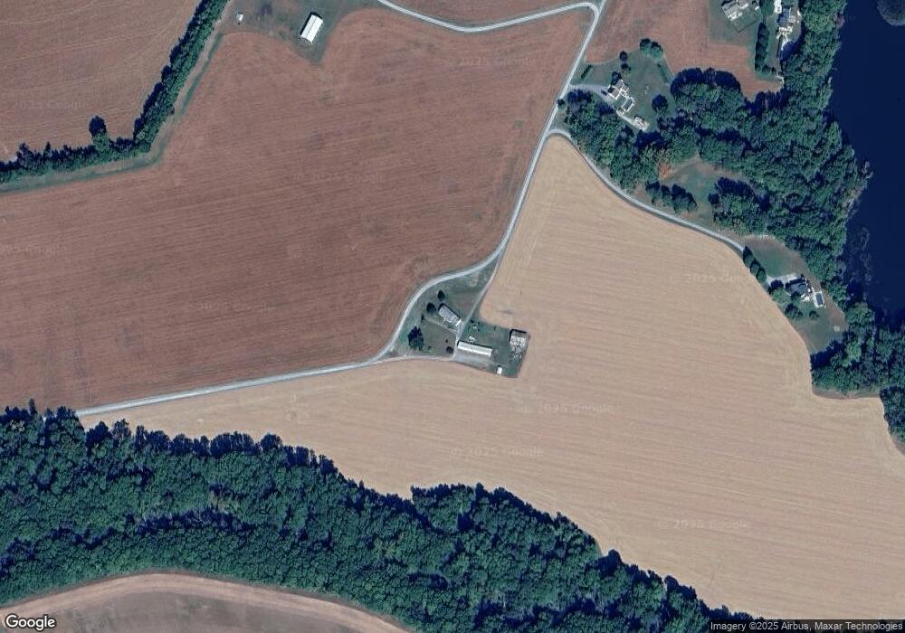
Map
Nearby Homes
- 11633 Malvern Ln
- 10622 Kittys Corner Rd
- 10640 Kittys Corner Rd
- 8556 Tuckahoe Rd
- 31570 Miller Rd
- 11482 Kittys Corner Rd
- 31127 Willis St
- 0 Baptist Rd
- 0 Cordova Rd Unit MDTA2011672
- 23296 Wilder Way
- 0 Laurel Ln
- 23678 Willow Pond Rd
- 13404 Cannery Rd
- 22005 Main St
- 21948 Main St
- 0 Skipton Cordova Rd
- 13500 1st St
- 13513 1st St
- Lot B Blades Rd
- Lot A Blades Rd
- 32794 Bluff Point Dr
- 32777 Bluff Point Dr
- 32791 Bluff Point Dr
- 32787 Bluff Point Dr
- 32780 Bluff Point Dr
- 32798 Bluff Point Dr
- 11283 Lewistown Rd
- 32804 Bluff Point Dr
- 32429 Coveys Landing Rd
- 32803 Bluff Point Dr
- 0 Lewistown Rd Unit 1007980194
- 0 Lewistown Rd Unit TA7489068
- 0 Lewistown Rd Unit TA8693071
- 0 Lewistown Rd Unit MDTA140202
- 0 Lewistown Rd Unit MDTA139526
- 0 Lewistown Rd Unit 1003211962
- 0 Lewistown Rd Unit 1009280840
- 11304 Lewistown Rd
- 11382 Lewistown Rd
- 11262 Lewistown Rd