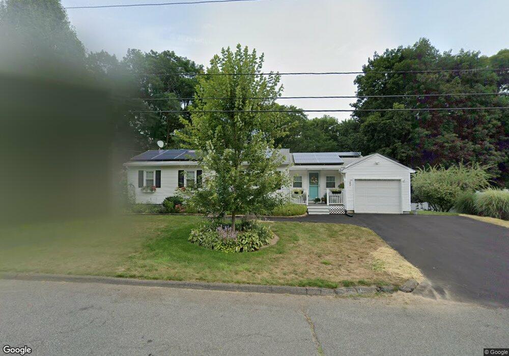
327 Brookside Cir Florence, MA 01062
Florence NeighborhoodEstimated Value: $379,000 - $437,000
3
Beds
1
Bath
1,318
Sq Ft
$308/Sq Ft
Est. Value
About This Home
This home is located at 327 Brookside Cir, Florence, MA 01062 and is currently estimated at $405,803, approximately $307 per square foot. 327 Brookside Cir is a home located in Hampshire County with nearby schools including Northampton High School.
Ownership History
Date
Name
Owned For
Owner Type
Purchase Details
Closed on
May 17, 2023
Sold by
Leary John T and Basile Natalie D
Bought by
Basile Natalie D
Current Estimated Value
Create a Home Valuation Report for This Property
The Home Valuation Report is an in-depth analysis detailing your home's value as well as a comparison with similar homes in the area
Home Values in the Area
Average Home Value in this Area
Purchase History
| Date | Buyer | Sale Price | Title Company |
|---|---|---|---|
| Basile Natalie D | -- | None Available |
Source: Public Records
Tax History
| Year | Tax Paid | Tax Assessment Tax Assessment Total Assessment is a certain percentage of the fair market value that is determined by local assessors to be the total taxable value of land and additions on the property. | Land | Improvement |
|---|---|---|---|---|
| 2025 | $4,596 | $329,900 | $137,000 | $192,900 |
| 2024 | $4,928 | $324,400 | $130,800 | $193,600 |
| 2023 | $4,554 | $287,500 | $118,700 | $168,800 |
| 2022 | $4,356 | $243,500 | $111,400 | $132,100 |
| 2021 | $4,065 | $234,000 | $106,400 | $127,600 |
| 2020 | $3,931 | $234,000 | $106,400 | $127,600 |
| 2019 | $3,797 | $218,600 | $91,400 | $127,200 |
| 2018 | $3,754 | $220,300 | $91,400 | $128,900 |
| 2017 | $3,677 | $220,300 | $91,400 | $128,900 |
| 2016 | $3,516 | $217,600 | $91,400 | $126,200 |
| 2015 | $3,454 | $218,600 | $91,400 | $127,200 |
| 2014 | $3,364 | $218,600 | $91,400 | $127,200 |
Source: Public Records
Map
Nearby Homes
- 815 Burts Pit Rd
- 723 Lot B Ryan Rd
- 296 Ryan Rd Unit A
- 296 Ryan Rd
- 296 Ryan Rd Unit B
- 635 Florence Rd
- 697 Florence Rd
- 42 Clark St
- 967 Florence Rd
- 296 Old Wilson Rd
- 832 Westhampton Rd
- 37 Landy Ave
- 0 W Farms Rd
- 892 Westhampton Rd
- 404 Sylvester Rd
- 67 Park St Unit A
- 76 Maple St
- 751 Park Hill Rd
- 20-11 Sylvester Rd
- 98 Park Hill Rd
- 335 Brookside Cir
- 324 Brookside Cir
- 332 Brookside Cir
- 316 Brookside Cir
- 311 Brookside Cir
- 343 Brookside Cir
- 308 Brookside Cir
- 346 Brookside Cir
- 303 Brookside Cir
- 351 Brookside Cir
- 76 Woods Rd
- 51 Woods Rd
- 71 Woods Rd
- 300 Brookside Cir
- 45 Longview Dr
- 57 Longview Dr
- 89 Longview Dr
- 71 Longview Dr
- 79 Longview Dr
- 295 Brookside Cir
Your Personal Tour Guide
Ask me questions while you tour the home.