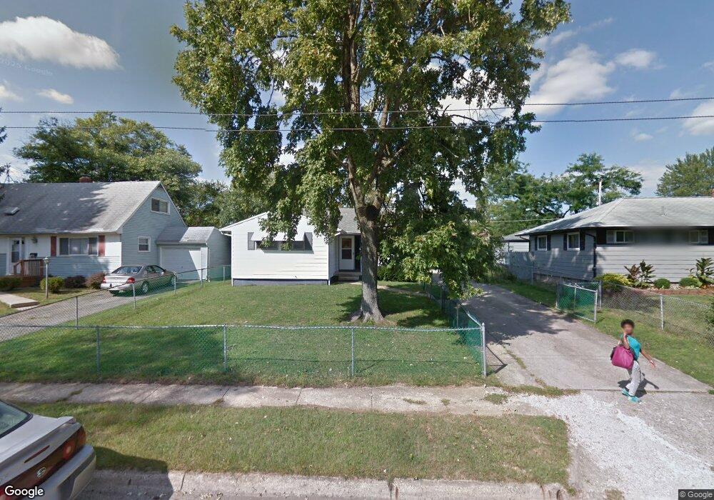
3272 Roswell Dr Columbus, OH 43227
Linwood NeighborhoodEstimated Value: $207,000 - $239,000
5
Beds
1
Bath
1,114
Sq Ft
$195/Sq Ft
Est. Value
About This Home
This home is located at 3272 Roswell Dr, Columbus, OH 43227 and is currently estimated at $217,320, approximately $195 per square foot. 3272 Roswell Dr is a home located in Franklin County with nearby schools including Scottwood Elementary School, Johnson Park Middle School, and Walnut Ridge High School.
Ownership History
Date
Name
Owned For
Owner Type
Purchase Details
Closed on
May 24, 2001
Sold by
St Albans Episcopal Church
Bought by
Brown Gloria
Current Estimated Value
Purchase Details
Closed on
May 18, 2001
Sold by
Dean Danny M and Dean Barbara S
Bought by
St Albans Episcopal Church
Purchase Details
Closed on
Aug 2, 1988
Bought by
Dean Danny M and Dean Barbara S
Purchase Details
Closed on
Apr 1, 1978
Create a Home Valuation Report for This Property
The Home Valuation Report is an in-depth analysis detailing your home's value as well as a comparison with similar homes in the area
Home Values in the Area
Average Home Value in this Area
Purchase History
| Date | Buyer | Sale Price | Title Company |
|---|---|---|---|
| Brown Gloria | $84,500 | Chicago Title | |
| St Albans Episcopal Church | $84,500 | Chicago Title | |
| Dean Danny M | $59,000 | -- | |
| -- | $34,000 | -- |
Source: Public Records
Tax History Compared to Growth
Tax History
| Year | Tax Paid | Tax Assessment Tax Assessment Total Assessment is a certain percentage of the fair market value that is determined by local assessors to be the total taxable value of land and additions on the property. | Land | Improvement |
|---|---|---|---|---|
| 2024 | $2,908 | $64,790 | $13,410 | $51,380 |
| 2023 | $2,871 | $64,785 | $13,405 | $51,380 |
| 2022 | $1,639 | $31,610 | $7,250 | $24,360 |
| 2021 | $1,642 | $31,610 | $7,250 | $24,360 |
| 2020 | $1,644 | $31,610 | $7,250 | $24,360 |
| 2019 | $1,572 | $25,910 | $6,060 | $19,850 |
| 2018 | $1,563 | $25,910 | $6,060 | $19,850 |
| 2017 | $1,644 | $25,910 | $6,060 | $19,850 |
| 2016 | $1,716 | $25,910 | $5,290 | $20,620 |
| 2015 | $1,558 | $25,910 | $5,290 | $20,620 |
| 2014 | $1,562 | $25,910 | $5,290 | $20,620 |
| 2013 | $855 | $28,770 | $5,880 | $22,890 |
Source: Public Records
Map
Nearby Homes
- 1624 Miltwood Rd
- 1664 Barnett Rd
- 3246 E Deshler Ave
- 3325 E Deshler Ave
- 3084 Clermont Rd
- 1304 Byron Ave
- 1271 S Weyant Ave
- 1778 Quigley Rd
- 3566 Seabrook Ave
- 1637 S James Rd
- 1836 Penfield Ct S
- 2903 Scottwood Rd
- 2894 Landon Dr
- 1782 Newfield Rd
- 1535 Kenwick Rd
- 1677 Kenview Rd
- 3325 Towers Ct S
- 3339 Towers Ct N
- 1054 S Hampton Rd
- 3563 Astor Ave
- 3280 Roswell Dr
- 3275 Scottwood Rd
- 3256 Roswell Dr
- 3269 Scottwood Rd
- 3285 Scottwood Rd
- 3269 Roswell Dr
- 3259 Scottwood Rd
- 3263 Roswell Dr
- 3255 Roswell Dr
- 3298 Roswell Dr
- 3301 Scottwood Rd
- 3249 Roswell Dr
- 1563 Aven Dr
- 3284 Scottwood Rd
- 3306 Roswell Dr
- 3274 Scottwood Rd
- 3292 Scottwood Rd
- 3311 Scottwood Rd
- 3256 LIV Moor Dr