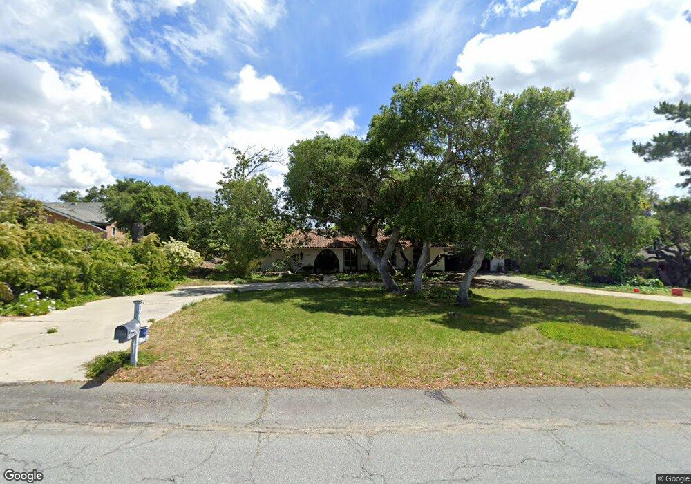
328 Saint Andrews Way Lompoc, CA 93436
Estimated Value: $759,566 - $1,011,000
4
Beds
3
Baths
2,097
Sq Ft
$410/Sq Ft
Est. Value
About This Home
This home is located at 328 Saint Andrews Way, Lompoc, CA 93436 and is currently estimated at $859,642, approximately $409 per square foot. 328 Saint Andrews Way is a home located in Santa Barbara County with nearby schools including Buena Vista Elementary School, Cabrillo High School, and Olive Grove Charter - Lompoc.
Ownership History
Date
Name
Owned For
Owner Type
Purchase Details
Closed on
Jun 8, 2016
Sold by
Nygren Robert C
Bought by
Nygren Patricia F
Current Estimated Value
Purchase Details
Closed on
Apr 18, 2016
Sold by
Nygren Robert C
Bought by
Nygren Patricia G
Create a Home Valuation Report for This Property
The Home Valuation Report is an in-depth analysis detailing your home's value as well as a comparison with similar homes in the area
Home Values in the Area
Average Home Value in this Area
Purchase History
| Date | Buyer | Sale Price | Title Company |
|---|---|---|---|
| Nygren Patricia F | -- | None Available | |
| Nygren Patricia G | -- | None Available |
Source: Public Records
Tax History Compared to Growth
Tax History
| Year | Tax Paid | Tax Assessment Tax Assessment Total Assessment is a certain percentage of the fair market value that is determined by local assessors to be the total taxable value of land and additions on the property. | Land | Improvement |
|---|---|---|---|---|
| 2025 | $1,733 | $133,562 | $29,313 | $104,249 |
| 2023 | $1,733 | $128,377 | $28,176 | $100,201 |
| 2022 | $1,706 | $125,861 | $27,624 | $98,237 |
| 2021 | $1,720 | $123,394 | $27,083 | $96,311 |
| 2020 | $1,705 | $122,130 | $26,806 | $95,324 |
| 2019 | $1,681 | $119,736 | $26,281 | $93,455 |
| 2018 | $1,660 | $117,389 | $25,766 | $91,623 |
| 2017 | $1,544 | $115,088 | $25,261 | $89,827 |
| 2016 | $1,249 | $112,832 | $24,766 | $88,066 |
| 2015 | $1,238 | $111,138 | $24,394 | $86,744 |
| 2014 | $1,219 | $108,962 | $23,917 | $85,045 |
Source: Public Records
Map
Nearby Homes
- 369 Falcon Crest Dr
- 4131 Oakwood Rd
- 3925 Clubhouse Ct
- 579 Saint Andrews Way
- 3987 Agena Way
- 3986 Spica Way
- 445 Firestone Way
- 0 Oak Hill Dr Unit 24-783
- 4464 Greenbrier Rd
- 317 Medinah Ln
- 4185 Vanguard Dr
- 4123 Constellation Rd
- 189 Galaxy Way
- 210 Oak Hill Dr
- 196 Galaxy Way
- 220 Oak Hill Dr
- 244 Pegasus Ave
- 3951 Mesa Circle Dr
- 4533 Falcon Dr
- 559 Mars Ave
- 318 Saint Andrews Way
- 336 Saint Andrews Way
- 325 Falcon Crest Dr
- 319 Falcon Crest Dr
- 310 Saint Andrews Way
- 339 Falcon Crest Dr
- 344 Saint Andrews Way
- 327 Saint Andrews Way
- 311 Falcon Crest Dr
- 335 Saint Andrews Way
- 317 Saint Andrews Way
- 345 Falcon Crest Dr
- 313 Falcon Crest Dr
- 4019 Saint Andrews Ct
- 345 Saint Andrews Way
- 298 Saint Andrews Way
- 352 Saint Andrews Way
- 352 St Andrews Way
- 3979 Burnham Dr
- 314 Falcon Crest Dr