329 Main Dunstable Rd Nashua, NH 03062
West Hollis NeighborhoodEstimated Value: $620,000 - $807,338
6
Beds
4
Baths
3,612
Sq Ft
$201/Sq Ft
Est. Value
About This Home
This home is located at 329 Main Dunstable Rd, Nashua, NH 03062 and is currently estimated at $725,085, approximately $200 per square foot. 329 Main Dunstable Rd is a home located in Hillsborough County with nearby schools including Ledge Street Elementary School, Elm Street Middle School, and Nashua High School South.
Ownership History
Date
Name
Owned For
Owner Type
Purchase Details
Closed on
Jul 1, 2004
Sold by
329 Main Dunstable
Bought by
Vasseur Christopher
Current Estimated Value
Home Financials for this Owner
Home Financials are based on the most recent Mortgage that was taken out on this home.
Original Mortgage
$191,200
Outstanding Balance
$95,341
Interest Rate
6.3%
Mortgage Type
Purchase Money Mortgage
Estimated Equity
$629,744
Create a Home Valuation Report for This Property
The Home Valuation Report is an in-depth analysis detailing your home's value as well as a comparison with similar homes in the area
Home Values in the Area
Average Home Value in this Area
Purchase History
| Date | Buyer | Sale Price | Title Company |
|---|---|---|---|
| Vasseur Christopher | $239,000 | -- |
Source: Public Records
Mortgage History
| Date | Status | Borrower | Loan Amount |
|---|---|---|---|
| Open | Vasseur Christopher | $191,200 |
Source: Public Records
Tax History Compared to Growth
Tax History
| Year | Tax Paid | Tax Assessment Tax Assessment Total Assessment is a certain percentage of the fair market value that is determined by local assessors to be the total taxable value of land and additions on the property. | Land | Improvement |
|---|---|---|---|---|
| 2024 | $11,890 | $747,800 | $180,300 | $567,500 |
| 2023 | $11,315 | $620,700 | $144,200 | $476,500 |
| 2022 | $11,216 | $620,700 | $144,200 | $476,500 |
| 2021 | $10,667 | $459,400 | $97,800 | $361,600 |
| 2020 | $10,387 | $459,400 | $97,800 | $361,600 |
| 2019 | $9,997 | $459,400 | $97,800 | $361,600 |
| 2018 | $9,487 | $447,300 | $97,800 | $349,500 |
| 2017 | $10,259 | $397,800 | $84,500 | $313,300 |
| 2016 | $9,973 | $397,800 | $84,500 | $313,300 |
| 2015 | $9,758 | $397,800 | $84,500 | $313,300 |
| 2014 | $9,567 | $397,800 | $84,500 | $313,300 |
Source: Public Records
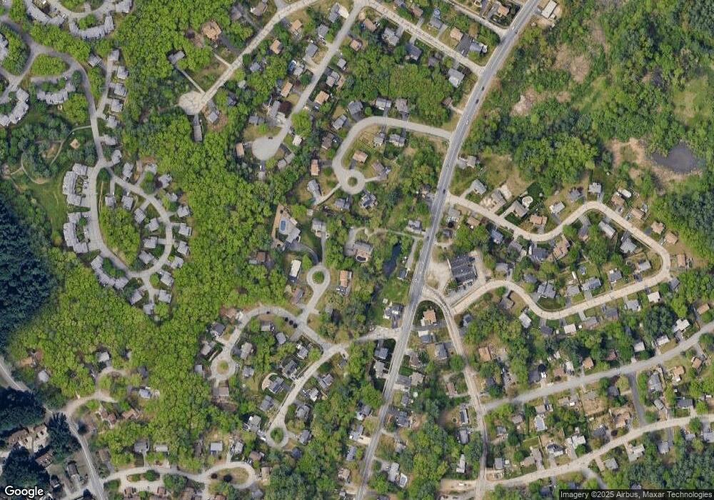
Map
Nearby Homes
- 47 Dogwood Dr Unit U202
- 24 Yarmouth Dr
- 25 Cortez Dr Unit U57
- 5 Iris Ct Unit U147
- 8 Althea Ln Unit U26
- 37 White Plains Dr
- 4 Henry David Dr Unit 203
- 31 Spring Cove Rd Unit U148
- 40 Spring Cove Rd Unit U117
- 50 Hollow Ridge Dr
- 12 Spring Cove Rd Unit U103
- 599 W Hollis St
- 247 Main Dunstable Rd
- 500 Candlewood Park Unit 21
- 3 Theresa Way
- 2 Rene Dr
- 23 Glen Dr
- 28 Nottingham Dr
- 424 Main Dunstable Rd
- 7 Roderick Cir
- 3 Smokey Ln
- 5 Smokey Ln
- 21 Memory Ave
- 19 Memory Ave
- 329 1/2 Main Dunstable Rd
- 6 Smokey Ln
- 327 Main Dunstable Rd
- 4 Smokey Ln
- 1 Arthurs Ln
- 331 Main Dunstable Rd
- 17 Memory Ave
- 2 Smokey Ln
- 12 Memory Ave
- 1 Conant Rd
- 10 Memory Ave
- 15 Memory Ave
- 5 Arthurs Ln
- 328 Main Dunstable Rd
- 339 Main Dunstable Rd
- 325 Main Dunstable Rd